 Mad River Mo... Nitehawk Ski... Clear Fork R... Snow Trails
 Aiguille du Midi (Chamonix)
  WebCams

Aiguille du Midi Sommet de l'Aiguille

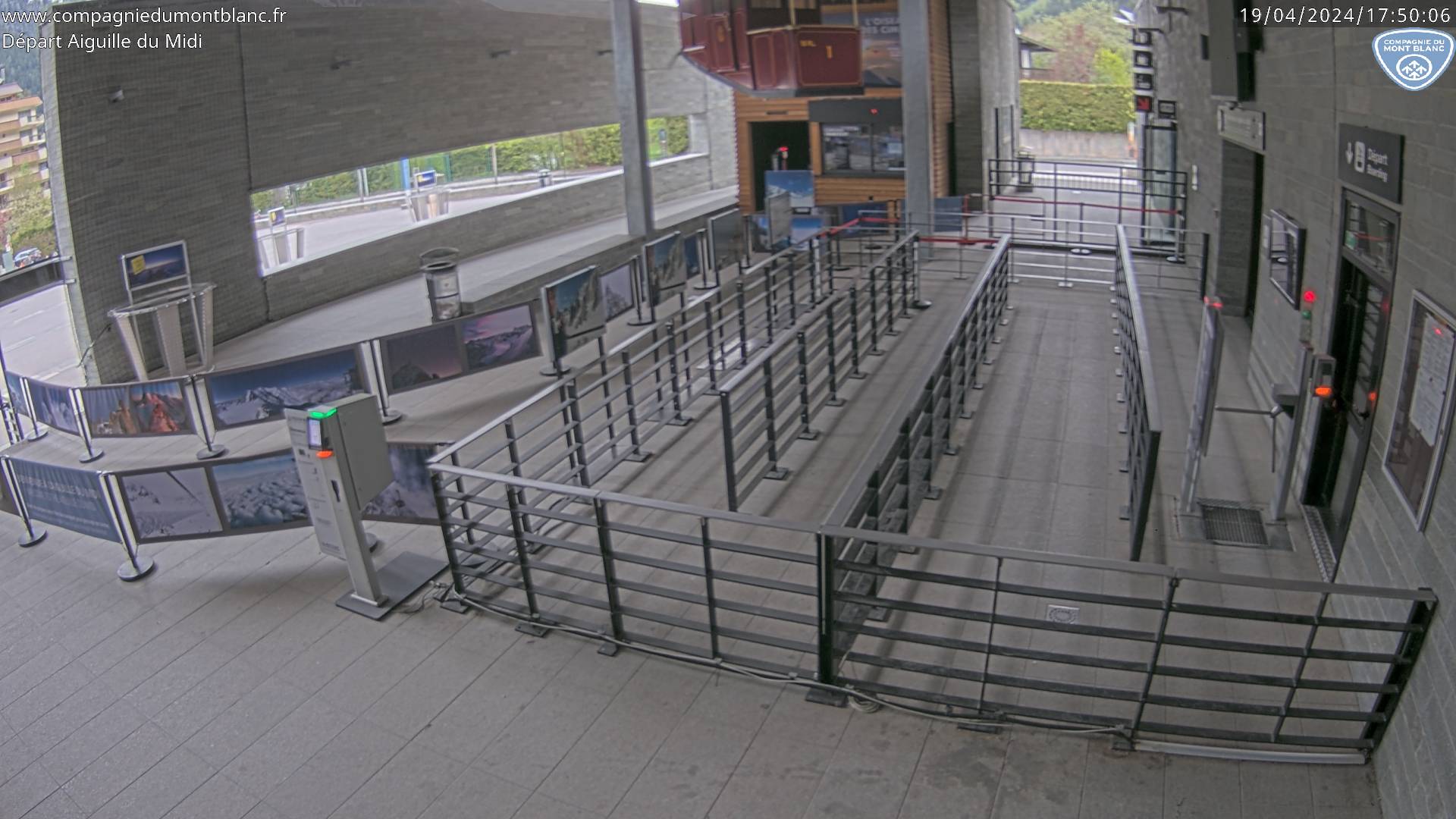
Aiguille du Midi Aiguille Gare
THURSDAY
Apr 25

10° / 8°

7 - 15
mph
 0
0
FRIDAY
Apr 26

13° / 9°

9 - 17
mph
5
SATURDAY
Apr 27
19° / 14°
10 - 18
mph
5
SUNDAY
Apr 28
21° / 19°

14 - 25
mph
5
MONDAY
Apr 29
24° / 22°
10 - 19
mph
5
TUESDAY
Apr 30
23° / 21°
14 - 23
mph
6
WEDNESDAY
May 1
21° / 21°
7 - 15
mph
9
Clear becoming mostly clear at times and then partly cloudy overnight.
Scattered snow showers possible.
Potential Precip:
0 to 0.01
Hi: 10°Low: 8°
2,500 feet to 6531 feet
Winds NW at 7 to 15 mph in the morning, becoming W at 7 to 15 mph in the afternoon, and then SW at 10 to 18 mph overnight.
Cloudy becoming mostly cloudy in the late morning continuing through overnight, with periods of snow expected at any time.
Light snow during the day, becoming heavy in the evening and light overnight. Snowfall is forecast to be a trace amount during the day, and 3 to 6 inches in the evening and overnight.
Potential Precip:
0.08 to 0.39
Hi: 13°Low: 9°
4,856 feet to 7176 feet
Winds SW at 10 to 18 mph in the morning, becoming SW at 9 to 17 mph in the afternoon, and then S at 8 to 16 mph overnight.
Mostly cloudy becoming cloudy overnight continuing through overnight, with periods of snow expected at any time.
Moderate snow with periods of heavy during the day, becoming light through the evening and overnight. Snowfall is forecast to be 4 to 7 during the day, and a trace amount in the evening and overnight.
Potential Precip:
0.08 to 0.42
Hi: 19°Low: 14°
5,287 feet to 7313 feet
Winds S at 8 to 16 mph in the morning, becoming S at 10 to 18 mph in the afternoon, and then S at 13 to 22 mph with gusts to 28 overnight.
Cloudy becoming mostly cloudy at times continuing through overnight, with periods of snow expected in the morning through evening.
Periods of moderate to heavy snow throughout the day. Snowfall is forecast to be 4 to 7 inches.
Potential Precip:
0.11 to 0.57
Hi: 21°Low: 19°
7,392 feet to 8361 feet
Winds S at 14 to 23 mph in the morning, becoming S at 14 to 25 mph in the afternoon, and then S at 13 to 22 mph with gusts to 28 overnight.
Mostly clear becoming partly cloudy overnight continuing through overnight, with periods of snow expected in the afternoon through overnight.
Periods of moderate to heavy snow throughout the day, light at times overnight. Snowfall is forecast to be 4 to 7 inches.
Potential Precip:
0.12 to 0.6
Hi: 24°Low: 22°
8,556 feet to 9988 feet
Winds S at 10 to 19 mph through the day, becoming S at 14 to 23 mph with gusts to 29 overnight.
Mostly cloudy through the day and overnight. Periods of snow are expected in the morning through evening.
Periods of moderate to heavy snow throughout the day. Snowfall is forecast to be 5 to 8 inches.
Potential Precip:
0.14 to 0.7
Hi: 23°Low: 21°
8,901 feet to 9971 feet
Winds SE at 14 to 23 mph through the day, becoming SE at 13 to 22 mph overnight.
Mostly clear becoming partly cloudy in the late morning continuing through overnight, with periods of snow expected at any time.
Periods of moderate to heavy snow throughout the day, light at times overnight. Snowfall is forecast to be 8 to 11 inches.
Potential Precip:
0.19 to 0.95
Hi: 21°Low: 21°
8,349 feet to 9226 feet
Winds SE at 7 to 15 mph through the day, becoming variable at 4 to 12 mph overnight.
 Sunrise & Sunset

Lunar Calendar


advertisement

 Mid-Mountain


