 Stevens Pass... Summit @ Sno... Summit @ Sno... Summit @ Sno...
 Autrans-La Sure
  WebCams
Piste de I'Ecureil
TSF du goncon
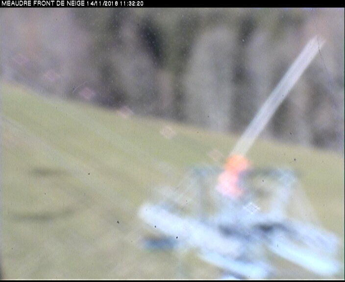
TK ECUREUIL
TUESDAY
Apr 23

28° / 21°

15 - 26
mph
 4
4
WEDNESDAY
Apr 24

28° / 24°
13 - 24
mph
6
THURSDAY
Apr 25

38° / 28°

8 - 16
mph
5
FRIDAY
Apr 26
42° / 37°

10 - 19
mph
1
SATURDAY
Apr 27
46° / 38°
15 - 26
mph
0
SUNDAY
Apr 28
42° / 38°
10 - 19
mph
0
MONDAY
Apr 29

42° / 41°
10 - 19
mph
0
advertisement

Clear becoming mostly cloudy in the afternoon continuing through overnight. Periods of snow are expected at any time.
Moderate snow through the day and into overnight. Snowfall is forecast to be 2 to 4 during the day, and 2 to 3 inches in the evening and overnight.
Potential Precip:
0.12 to 0.58
Hi: 28°Low: 21°
1,772 feet to 4053 feet
Winds N at 16 to 27 mph in the morning, becoming S at 15 to 26 mph in the afternoon, and then variable at 19 to 30 mph overnight.
Partly cloudy becoming mostly cloudy at times and then partly cloudy overnight. Periods of snow are expected in the morning through evening.
Moderate snow with periods of heavy during the day becoming light with periods of moderate in the evening. Snowfall is forecast to be 4 to 7 during the day, and 1 to 2 in the evening.
Potential Precip:
0.16 to 0.79
Hi: 28°Low: 24°
1,751 feet to 3959 feet
Winds N at 19 to 30 mph in the morning, becoming variable at 13 to 24 mph in the afternoon, and then S at 16 to 27 mph overnight.
Clear becoming mostly clear in the afternoon and then partly cloudy overnight.
Scattered snow showers possible.
Potential Precip:
0.16 to 0.79
Hi: 38°Low: 28°
1,581 feet to 6239 feet
Winds N at 14 to 25 mph in the morning, becoming S at 8 to 16 mph in the afternoon, and then variable at 4 to 12 mph overnight.
Cloudy becoming partly cloudy in the evening continuing through overnight, with periods of rain and snow expected overnight.
Periods of light snow throughout the day. Snowfall is forecast to be a trace amount.
Potential Precip:
0.2 to 1.02
Hi: 42°Low: 37°
5,469 feet to 6989 feet
Winds S at 8 to 16 mph in the morning, becoming S at 10 to 19 mph in the afternoon, and then S at 14 to 25 mph overnight.
Mostly cloudy becoming cloudy in the afternoon and then mostly cloudy overnight. Periods of rain and snow are expected overnight.
Periods of light snow throughout the day. Snowfall is forecast to be a trace amount.
Potential Precip:
0.26 to 1.29
Hi: 46°Low: 38°
6,670 feet to 7991 feet
Winds SE at 15 to 26 mph throughout the day and into overnight.
Cloudy becoming mostly cloudy at times continuing through overnight, with periods of rain and snow expected overnight.
Periods of light snow throughout the day. Snowfall is forecast to be a trace amount.
Potential Precip:
0.53 to 2.63
Hi: 42°Low: 38°
6,863 feet to 8001 feet
Winds SE at 10 to 19 mph through the day, becoming SE at 11 to 20 mph with gusts to 27 overnight.
Cloudy through the day and overnight, with periods of rain expected at any time.
No snow.
Potential Precip:
0.8 to 3.98
Hi: 42°Low: 41°
7,528 feet to 8329 feet
Winds SE at 10 to 19 mph with gusts to 27 through the day, becoming SE at 7 to 15 mph overnight.
 Sunrise & Sunset

Lunar Calendar


advertisement
 Mid-Mountain


