 Stevens Pass... Summit @ Sno... Summit @ Sno... Summit @ Sno...
 Badger Pass Ski Area
  YOSEMITE VALLEY NEAR YOSEMITE VILLAGE 1NNW YYV, CA Updated Apr 20 @ 05:08


 WebCams
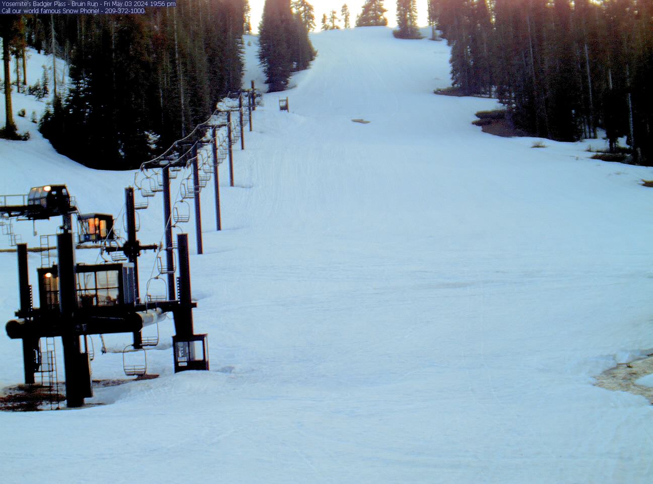
Yosemite Ski and Snowboard Area
SATURDAY
Apr 20

71° / 55°

5 - 13
mph
 0
0
SUNDAY
Apr 21
72° / 57°
4 - 12
mph
0
MONDAY
Apr 22
71° / 53°
5 - 12
mph
0
TUESDAY
Apr 23

64° / 49°
5 - 12
mph
0
WEDNESDAY
Apr 24
56° / 45°
4 - 12
mph
0
THURSDAY
Apr 25
56° / 44°
4 - 12
mph
0
FRIDAY
Apr 26
47° / 36°
4 - 12
mph
0
advertisement

Mostly clear becoming clear in the afternoon continuing through overnight.
No snow.
Potential Precip:
0.01 to 0.06
Hi: 71°Low: 55°
11,526 feet to 12314 feet
Winds W at 6 to 14 mph in the morning, becoming variable at 5 to 13 mph in the afternoon, and then variable at 4 to 12 mph overnight.
Mostly clear through the day becoming clear overnight.
No snow.
Potential Precip:
0.01 to 0.06
Hi: 72°Low: 57°
12,047 feet to 12636 feet
Winds SW at 6 to 14 mph in the morning, becoming variable at 4 to 12 mph in the afternoon through overnight.
Partly cloudy becoming clear in the afternoon continuing through overnight.
No snow.
Potential Precip:
0 to 0.02
Hi: 71°Low: 53°
10,553 feet to 12172 feet
Winds SW at 7 to 15 mph in the morning, becoming variable at 5 to 12 mph in the afternoon, and then variable at 4 to 12 mph overnight.
Mostly clear becoming cloudy at times continuing through overnight.
No snow.
Potential Precip:
0 to 0.01
Hi: 64°Low: 49°
9,626 feet to 11216 feet
Winds SW at 7 to 15 mph in the morning, becoming variable at 5 to 12 mph in the afternoon, and then variable at 4 to 12 mph overnight.
Mostly cloudy becoming mostly clear at times and then partly cloudy overnight. Periods of rain are expected in the morning through evening.
No snow.
Potential Precip:
0.03 to 0.13
Hi: 56°Low: 45°
7,767 feet to 9318 feet
Winds variable at 4 to 12 mph through the day, becoming variable at 5 to 12 mph overnight.
Partly cloudy becoming mostly cloudy in the evening continuing through overnight, with periods of rain expected in the morning through overnight.
No snow.
Potential Precip:
0.15 to 0.74
Hi: 56°Low: 44°
7,209 feet to 9397 feet
Winds variable at 4 to 12 mph through the day, becoming variable at 5 to 12 mph overnight.
Mostly cloudy becoming mostly clear at times and then partly cloudy overnight. Periods of rain are expected in the morning through overnight.
No snow.
Potential Precip:
0.13 to 0.67
Hi: 47°Low: 36°
5,254 feet to 7663 feet
Winds variable at 4 to 12 mph through the day, becoming variable at 5 to 12 mph overnight.
 Sunrise & Sunset

Lunar Calendar


advertisement
 Snow Maps and Weather Stations in the Area
  Mid-Mountain


