 Stevens Pass... Summit @ Sno... Summit @ Sno... Summit @ Sno...
 Silver Mountain Resort
  Mullan Pass, Mullan Pass Vor, MT Updated Apr 16 @ 03:07

 North
North WebCams
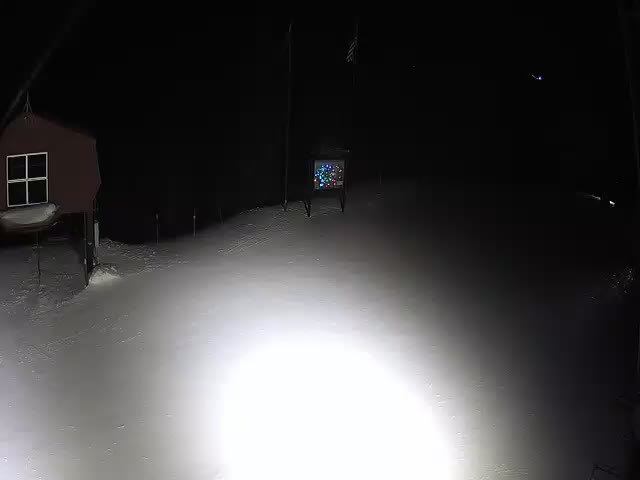
Mountain House, 5,700 ft.
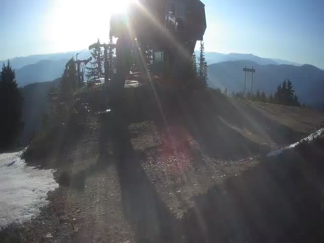
Kellogg Peak 6,300 ft.
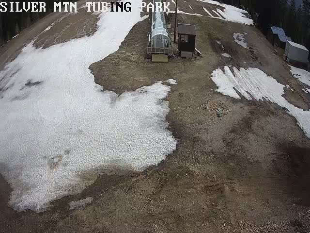
Snow Tubing Park
TUESDAY
Apr 16

39° / 23°

13 - 24
mph
 0
0
WEDNESDAY
Apr 17
32° / 23°

10 - 18
mph
2
THURSDAY
Apr 18
32° / 23°

7 - 15
mph
0
FRIDAY
Apr 19
32° / 21°
14 - 25
mph
0
SATURDAY
Apr 20

35° / 27°
13 - 24
mph
0
SUNDAY
Apr 21
42° / 21°
11 - 20
mph
3
MONDAY
Apr 22
35° / 28°

21 - 32
mph
0
Mostly clear becoming mostly cloudy overnight continuing through overnight, with periods of rain and snow expected overnight.
Light snow overnight. Snowfall is forecast to be a trace amount overnight.
Potential Precip:
0 to 0.01
Hi: 47°Low: 30°
3,400 feet to 6964 feet
Winds W at 13 to 22 mph in the morning, becoming S at 8 to 16 mph in the afternoon, and then SW at 7 to 15 mph overnight.
Mostly clear becoming mostly cloudy overnight continuing through overnight, with periods of snow developing in the afternoon through overnight.
Snowfall is forecast to be a trace amount during the day, and a trace amount overnight.
Potential Precip:
0 to 0.01
Hi: 35°Low: 20°
3,400 feet to 6964 feet
Winds W at 16 to 27 mph in the morning, becoming SW at 18 to 29 mph with gusts to 37 in the afternoon, and then SW at 13 to 22 mph with gusts to 41 overnight.
Partly cloudy becoming mostly cloudy in the afternoon continuing through overnight, with periods of rain and snow expected overnight.
Light snow through the day and into overnight, with periods of moderate overnight. Snowfall is forecast to be a trace amount during the day, and 1 to 2 inches in the evening and overnight.
Potential Precip:
0.05 to 0.27
Hi: 39°Low: 29°
3,379 feet to 5498 feet
Winds W at 13 to 22 mph in the morning, becoming variable at 5 to 13 mph in the afternoon, and then variable at 4 to 12 mph overnight.
Partly cloudy becoming mostly cloudy in the afternoon continuing through overnight, with periods of snow expected at any time.
Light snow through the day into the evening, becoming moderate overnight. Snowfall is forecast to be a trace amount during the day, and 2 to 4 inches in the evening and overnight.
Potential Precip:
0.05 to 0.27
Hi: 28°Low: 21°
3,379 feet to 5498 feet
Winds W at 15 to 26 mph in the morning, becoming SW at 11 to 20 mph in the afternoon, and then variable at 6 to 14 mph overnight.
Partly cloudy becoming mostly clear in the afternoon and then partly cloudy overnight. Periods of snow are expected in the morning.
Periods of light snow during the day. Snowfall is forecast to be a trace amount during the day.
Potential Precip:
0.01 to 0.05
Hi: 39°Low: 28°
1,603 feet to 5480 feet
Winds NE at 9 to 17 mph in the morning, becoming variable at 5 to 13 mph in the afternoon, and then E at 7 to 15 mph overnight.
Partly cloudy becoming mostly clear in the afternoon and then partly cloudy overnight. Periods of snow are expected in the morning.
Periods of light snow during the day. Snowfall is forecast to be a trace amount during the day.
Potential Precip:
0.01 to 0.05
Hi: 28°Low: 21°
1,603 feet to 5480 feet
Winds NE at 10 to 18 mph in the morning, becoming E at 8 to 16 mph in the afternoon, and then E at 11 to 20 mph overnight.
Mostly cloudy becoming clear in the evening continuing through overnight.
Periods of light snow throughout the day. Snowfall is forecast to be a trace amount.
Potential Precip:
0 to 0.02
Hi: 39°Low: 24°
832 feet to 5512 feet
Winds variable at 13 to 22 mph in the morning, becoming variable at 10 to 18 mph in the afternoon, and then E at 8 to 16 mph overnight.
Mostly cloudy becoming clear in the evening continuing through overnight, with periods of snow expected in the morning through afternoon.
Periods of light snow throughout the day. Snowfall is forecast to be a trace amount.
Potential Precip:
0 to 0.02
Hi: 28°Low: 19°
832 feet to 5512 feet
Winds variable at 13 to 24 mph in the morning, becoming E at 17 to 28 mph in the afternoon, and then E at 15 to 26 mph overnight.
Mostly clear becoming clear in the late morning and then mostly clear overnight. Expect windy conditions at times.
No snow.
No precipitation expected.
Hi: 43°Low: 28°
1,639 feet to 6121 feet
Winds E at 10 to 19 mph through the day, becoming E at 6 to 14 mph overnight.
Mostly clear becoming clear in the late morning and then mostly clear overnight. Expect windy conditions at times.
No snow.
No precipitation expected.
Hi: 31°Low: 25°
1,639 feet to 6121 feet
Winds E at 14 to 25 mph through the day, becoming E at 10 to 18 mph overnight.
Cloudy becoming mostly cloudy in the evening continuing through overnight, with periods of snow developing in the afternoon through overnight.
Periods of light snow throughout the day and overnight. Snowfall is forecast to be 2 to 3 inches.
Potential Precip:
0.11 to 0.55
Hi: 50°Low: 28°
3,079 feet to 7400 feet
Winds variable at 7 to 15 mph through the day, becoming SW at 8 to 16 mph overnight.
Cloudy becoming mostly cloudy in the evening continuing through overnight, with periods of snow developing in the afternoon through overnight.
Periods of light to moderate snow throughout the day and overnight. Snowfall is forecast to be 3 to 6 inches.
Potential Precip:
0.11 to 0.55
Hi: 38°Low: 18°
3,079 feet to 7400 feet
Winds SW at 13 to 22 mph with gusts to 35 through the day, becoming SW at 18 to 29 mph with gusts to 36 overnight.
Partly cloudy becoming mostly clear in the afternoon continuing through overnight, with periods of snow expected in the morning through afternoon.
Periods of light snow throughout the day. Snowfall is forecast to be a trace amount.
Potential Precip:
0.01 to 0.04
Hi: 43°Low: 32°
2,607 feet to 6095 feet
Winds SW at 13 to 22 mph with gusts to 28 through the day, becoming variable at 5 to 13 mph overnight.
Partly cloudy becoming mostly clear in the afternoon continuing through overnight, with periods of snow expected in the morning through afternoon.
Periods of light snow throughout the day. Snowfall is forecast to be a trace amount.
Potential Precip:
0.01 to 0.04
Hi: 31°Low: 25°
2,607 feet to 6095 feet
Winds W at 25 to 36 mph through the day, becoming SW at 10 to 19 mph with gusts to 25 overnight.
 Sunrise & Sunset

Lunar Calendar


 Snow Maps and Weather Stations in the Area
 ![]() 20in, past 4 days. Snow surface is machine groomed and packed powder
20in, past 4 days. Snow surface is machine groomed and packed powder
Snow report provided by SnoCountry
 Mountain Base


