 Stevens Pass...
  Summit @ Sno... Summit @ Sno... Summit @ Sno...
 Sun Valley Resort
  Hailey, Friedman Memorial Airport, ID Updated Apr 24 @ 10:08

 South
South WebCams
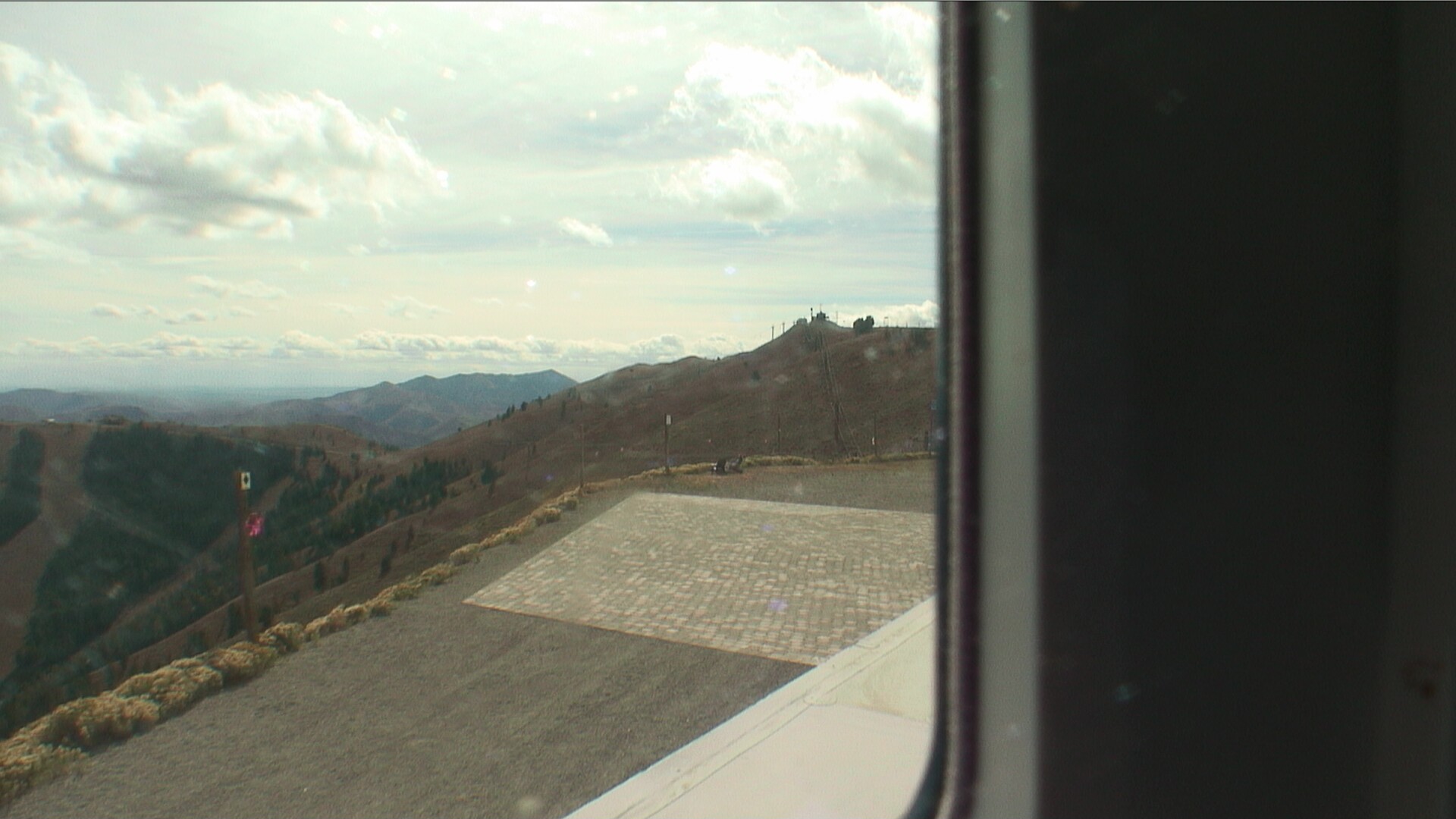

White clouds cam

Lookout - Top
Bowls View

Warm Springs

Seattle Ridge

Clubhouse
WEDNESDAY
Apr 24

51° / 41°

6 - 14
mph
 0
0
THURSDAY
Apr 25

49° / 36°

10 - 19
mph
0
FRIDAY
Apr 26
44° / 34°
10 - 19
mph
0
SATURDAY
Apr 27
44° / 32°
7 - 15
mph
0
SUNDAY
Apr 28

42° / 33°

16 - 27
mph
0
MONDAY
Apr 29

43° / 31°
14 - 23
mph
0
TUESDAY
Apr 30

47° / 41°
7 - 15
mph
0
advertisement

Partly cloudy becoming mostly clear at times continuing through overnight, with periods of rain expected in the afternoon.
No snow.
Potential Precip:
0 to 0.01
Hi: 58°Low: 41°
10,113 feet to 10886 feet
Winds SW at 6 to 14 mph in the morning, becoming variable at 5 to 12 mph in the afternoon, and then variable at 5 to 13 mph overnight.
Mostly cloudy becoming mostly clear at times continuing through overnight, with periods of snow expected in the afternoon.
Periods of light snow during the day. Snowfall is forecast to be a trace amount during the day.
Potential Precip:
0 to 0.01
Hi: 35°Low: 30°
10,113 feet to 10886 feet
Winds SW at 11 to 20 mph in the morning, becoming SW at 10 to 18 mph in the afternoon, and then W at 6 to 14 mph overnight.
Partly cloudy becoming cloudy at times continuing through overnight. Periods of rain are expected in the morning through overnight.
No snow.
Potential Precip:
0.01 to 0.05
Hi: 56°Low: 40°
8,121 feet to 10538 feet
Winds W at 14 to 23 mph in the morning, becoming NW at 6 to 14 mph in the afternoon, and then variable at 4 to 12 mph overnight.
Mostly cloudy becoming cloudy at times continuing through overnight, with periods of snow expected in the morning through overnight.
Snowfall is forecast to be 1 to 2 during the day, and 1 to 2 overnight.
Potential Precip:
0.04 to 0.21
Hi: 34°Low: 24°
8,121 feet to 10538 feet
Winds W at 12 to 21 mph in the morning, becoming NW at 13 to 24 mph in the afternoon, and then variable at 7 to 15 mph overnight.
Cloudy becoming partly cloudy in the evening continuing through overnight, with periods of rain expected in the morning through overnight.
No snow.
Potential Precip:
0.01 to 0.06
Hi: 51°Low: 36°
8,253 feet to 9590 feet
Winds NW at 9 to 17 mph in the morning, becoming NW at 6 to 14 mph in the afternoon, and then variable at 5 to 13 mph overnight.
Cloudy becoming partly cloudy at times continuing through overnight, with periods of snow expected at any time.
Heavy snow during the day, becoming light in the evening through overnight. Snowfall is forecast to be 5 to 8 during the day, and a trace amount in the evening and overnight.
Potential Precip:
0.16 to 0.82
Hi: 24°Low: 21°
8,253 feet to 9590 feet
Winds NW at 16 to 27 mph in the morning, becoming N at 13 to 22 mph in the afternoon, and then NW at 10 to 18 mph overnight.
Mostly cloudy becoming partly cloudy at times and then mostly clear overnight. Periods of rain are expected in the morning through afternoon.
No snow.
Potential Precip:
0.01 to 0.04
Hi: 51°Low: 35°
7,626 feet to 9707 feet
Winds W at 11 to 20 mph in the morning, becoming NW at 6 to 14 mph in the afternoon, and then W at 6 to 14 mph overnight.
Mostly cloudy becoming partly cloudy in the afternoon continuing through overnight, with periods of snow expected in the morning through afternoon.
Periods of moderate to heavy snow throughout the day. Snowfall is forecast to be 2 to 4 inches.
Potential Precip:
0.06 to 0.3
Hi: 26°Low: 20°
7,626 feet to 9707 feet
Winds NW at 10 to 18 mph in the morning, becoming NW at 8 to 16 mph in the afternoon, and then W at 7 to 15 mph overnight.
Partly cloudy becoming mostly cloudy at times continuing through overnight, with windy conditions at times.
No snow.
No precipitation expected.
Hi: 49°Low: 36°
7,947 feet to 9143 feet
Winds W at 12 to 21 mph through the day, becoming W at 6 to 14 mph overnight.
Partly cloudy through the day and overnight, with periods of snow expected in the morning through afternoon.
Periods of light snow throughout the day. Snowfall is forecast to be a trace amount.
Potential Precip:
0.01 to 0.04
Hi: 28°Low: 21°
7,947 feet to 9143 feet
Winds W at 8 to 16 mph through the day, becoming W at 14 to 25 mph with gusts to 31 overnight.
Partly cloudy through the day and overnight, with periods of rain expected in the morning through evening.
No snow.
Potential Precip:
0.02 to 0.08
Hi: 50°Low: 35°
7,112 feet to 9381 feet
Winds SW at 10 to 18 mph through the day, becoming variable at 4 to 12 mph overnight.
Mostly cloudy becoming mostly clear in the evening continuing through overnight, with periods of snow expected in the evening.
Periods of light snow throughout the day. Snowfall is forecast to be 1 to 2 inches.
Potential Precip:
0.02 to 0.12
Hi: 28°Low: 20°
7,112 feet to 9381 feet
Winds SW at 24 to 35 mph with gusts to 48 through the day, becoming W at 15 to 26 mph with gusts to 40 overnight.
Mostly cloudy becoming clear at times continuing through overnight, with windy conditions at times.
No snow.
No precipitation expected.
Hi: 54°Low: 44°
8,983 feet to 10332 feet
Winds variable at 5 to 13 mph throughout the day and into overnight.
Mostly cloudy through the day becoming partly cloudy overnight.
Periods of snow throughout the day and overnight.
Potential Precip:
0 to 0.01
Hi: 33°Low: 29°
8,983 feet to 10332 feet
Winds SW at 18 to 29 mph with gusts to 40 through the day, becoming SW at 19 to 30 mph with gusts to 41 overnight.
 Sunrise & Sunset

Lunar Calendar


 Sun Valley Resort Discussion
  Snow Maps and Weather Stations in the Area
 ![]() 6in, past 7 days. Snow surface is packed powder and machine groomed
6in, past 7 days. Snow surface is packed powder and machine groomed
Snow report provided by SnoCountry
 Mountain Base


