 Mad River Mo... Nitehawk Ski... Clear Fork R... Snow Trails
 Mt Baker Ski Area
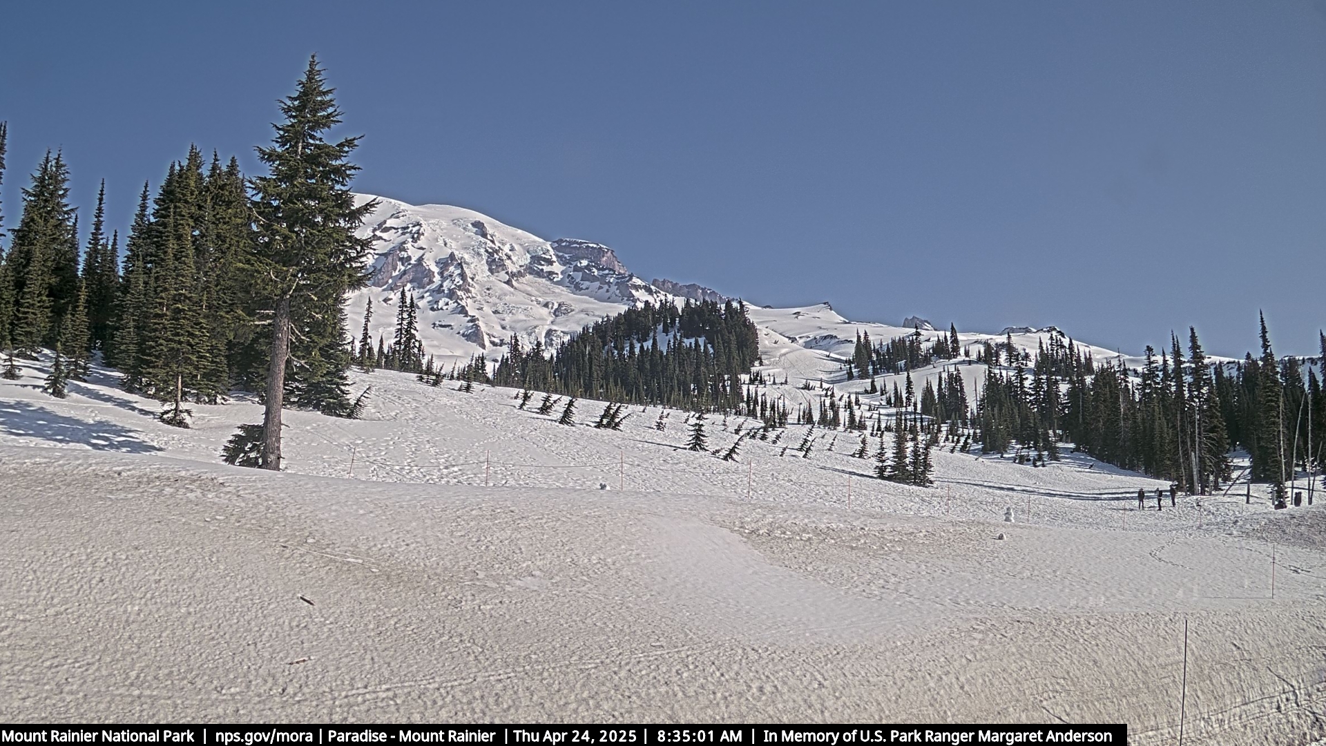
  MARTEN RIDGE, WA Updated May 05 @ 02:12


 WebCams
SUNDAY
May 5

36° / 30°

5 - 13
mph
 8
8
MONDAY
May 6

30° / 24°
5 - 13
mph
8
TUESDAY
May 7

30° / 28°
5 - 13
mph
1
WEDNESDAY
May 8
47° / 31°
5 - 12
mph
0
THURSDAY
May 9

50° / 48°
5 - 12
mph
0
FRIDAY
May 10
52° / 45°
5 - 13
mph
0
advertisement

Cloudy through the day and overnight, with periods of rain and snow expected overnight.
Moderate snow through the day into the evening, becoming light overnight. Snowfall is forecast to be 2 to 3 during the day, and 2 to 4 inches in the evening and overnight.
Potential Precip:
0.4 to 2.01
Hi: 40°Low: 33°
4,593 feet to 6375 feet
Winds variable at 4 to 12 mph through the day, becoming variable at 3 to 11 mph overnight.
Cloudy through the day and overnight, with periods of snow expected at any time.
Heavy snow through the day and into overnight. Snowfall is forecast to be 13 to 17 during the day, and 12 to 16 inches in the evening and overnight.
Potential Precip:
0.54 to 2.71
Hi: 22°Low: 13°
4,593 feet to 6375 feet
Winds W at 18 to 29 mph in the morning, becoming W at 26 to 37 mph in the afternoon, and then SW at 21 to 32 mph overnight.
Mostly cloudy through the day and overnight, with periods of snow expected at any time.
Moderate snow with periods of heavy during the day, becoming light in the evening and overnight, with periods of moderate overnight. Snowfall is forecast to be 4 to 6 during the day, and 2 to 3 inches in the evening and overnight.
Potential Precip:
0.29 to 1.46
Hi: 34°Low: 26°
2,190 feet to 4573 feet
Winds variable at 4 to 12 mph throughout the day and into overnight.
Cloudy becoming mostly cloudy overnight continuing through overnight, with periods of snow expected at any time.
Heavy snow through the day and into overnight. Snowfall is forecast to be 8 to 12 during the day, and 6 to 9 inches in the evening and overnight.
Potential Precip:
0.25 to 1.26
Hi: 11°Low: 8°
2,190 feet to 4573 feet
Winds SW at 17 to 28 mph in the morning, becoming SW at 15 to 26 mph in the afternoon, and then W at 14 to 25 mph overnight.
Partly cloudy through the day and overnight, with periods of snow expected in the morning through overnight.
Periods of light snow throughout the day and overnight. Snowfall is forecast to be a trace amount.
Potential Precip:
0.04 to 0.18
Hi: 34°Low: 28°
1,791 feet to 4719 feet
Winds W at 6 to 14 mph in the morning, becoming variable at 4 to 12 mph in the afternoon, and then variable at 3 to 11 mph overnight.
Partly cloudy through the day and overnight, with periods of snow expected in the morning through overnight.
Periods of light to heavy snow throughout the day, light at times overnight. Snowfall is forecast to be 2 to 4 inches.
Potential Precip:
0.03 to 0.16
Hi: 26°Low: 9°
1,791 feet to 4719 feet
Winds NW at 15 to 26 mph in the morning, becoming N at 14 to 23 mph in the afternoon, and then variable at 16 to 27 mph overnight.
Partly cloudy becoming mostly clear in the evening continuing through overnight, with periods of snow expected in the morning.
Periods of snow throughout the day and overnight.
Potential Precip:
0.01 to 0.03
Hi: 51°Low: 34°
2,943 feet to 9280 feet
Winds variable at 5 to 12 mph throughout the day and into overnight.
Mostly cloudy becoming mostly clear in the afternoon and then partly cloudy overnight. Periods of snow are expected in the morning.
Periods of light snow throughout the day. Snowfall is forecast to be a trace amount.
Potential Precip:
0.01 to 0.04
Hi: 31°Low: 29°
2,943 feet to 9280 feet
Winds variable at 12 to 21 mph through the day, becoming NE at 10 to 19 mph overnight.
Mostly clear becoming mostly cloudy at times continuing through overnight, with windy conditions at times.
No snow.
No precipitation expected.
Hi: 55°Low: 48°
9,429 feet to 9960 feet
Winds variable at 5 to 12 mph throughout the day and into overnight.
Mostly clear becoming mostly cloudy overnight continuing through overnight, with windy conditions at times.
No snow.
No precipitation expected.
Hi: 32°Low: 30°
9,429 feet to 9960 feet
Winds variable at 5 to 13 mph through the day, becoming W at 10 to 19 mph overnight.
Partly cloudy becoming mostly clear at times and then mostly cloudy overnight. Periods of rain are expected in the afternoon.
No snow.
Potential Precip:
0 to 0.01
Hi: 57°Low: 47°
8,905 feet to 9503 feet
Winds variable at 4 to 12 mph through the day, becoming variable at 5 to 12 mph overnight.
Partly cloudy becoming mostly cloudy at times continuing through overnight, with windy conditions at times.
No snow.
No precipitation expected.
Hi: 30°Low: 28°
8,905 feet to 9503 feet
Winds W at 16 to 27 mph through the day, becoming W at 14 to 25 mph overnight.
 Sunrise & Sunset

Lunar Calendar


advertisement
 Snow Maps and Weather Stations in the Area
 ![]() 34in, past 7 days. Snow surface is powder and packed powder
34in, past 7 days. Snow surface is powder and packed powder
Snow report provided by SnoCountry
 Mountain Base


