 Mt Waterman Mountain Hig... Mt Baldy Alta Sierra...
 Silver Mountain Resort
  Mullan Pass, Mullan Pass Vor, MT Updated May 13 @ 06:07
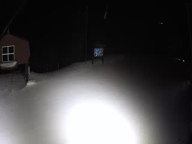

 Southwest
 WebCams
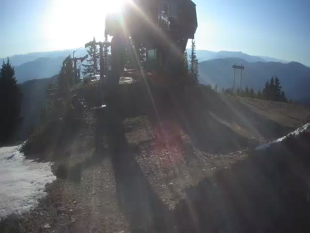
Mountain House, 5,700 ft.
Kellogg Peak 6,300 ft.
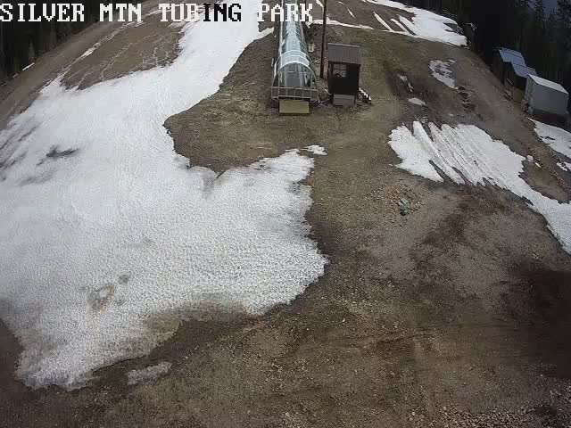
Snow Tubing Park
WEDNESDAY
May 13

28° / 22°

8 - 16
mph
 9
9
THURSDAY
May 14
24° / 21°

17 - 28
mph
3
FRIDAY
May 15

29° / 24°
21 - 32
mph
0
SATURDAY
May 16
29° / 26°

16 - 27
mph
0
SUNDAY
May 17

32° / 29°
5 - 13
mph
0
MONDAY
May 18
32° / 28°
6 - 14
mph
0
TUESDAY
May 19
33° / 29°
7 - 15
mph
0
Cloudy becoming partly cloudy overnight continuing through overnight, with periods of snow expected at any time.
Moderate snow through the day into the evening with periods of heavy during the day, becoming light overnight. Snowfall is forecast to be 3 to 5 during the day, and 2 to 3 inches in the evening and overnight.
Potential Precip:
0.29 to 1.46
Hi: 34°Low: 27°
2,548 feet to 4397 feet
Winds variable at 5 to 12 mph in the morning, becoming variable at 4 to 12 mph in the afternoon, and then SW at 6 to 14 mph overnight.
Cloudy becoming partly cloudy overnight continuing through overnight, with periods of snow expected at any time.
Heavy snow during the day, becoming moderate with periods of heavy in the evening through overnight. Snowfall is forecast to be 6 to 9 during the day, and 3 to 5 inches in the evening and overnight.
Potential Precip:
0.29 to 1.46
Hi: 26°Low: 18°
2,548 feet to 4397 feet
Winds SW at 6 to 14 mph with gusts to 23 in the morning, becoming SW at 10 to 18 mph with gusts to 31 in the afternoon, and then SW at 12 to 23 mph with gusts to 37 overnight.
Mostly cloudy becoming partly cloudy at times continuing through overnight, with periods of snow expected at any time.
Light snow through the day and into overnight with periods of moderate during the day. Snowfall is forecast to be 1 to 2 during the day, and a trace amount in the evening and overnight.
Potential Precip:
0.07 to 0.33
Hi: 30°Low: 24°
490 feet to 3675 feet
Winds SW at 9 to 17 mph in the morning, becoming S at 8 to 16 mph with gusts to 22 in the afternoon, and then SW at 8 to 16 mph overnight.
Mostly cloudy becoming partly cloudy at times continuing through overnight, with periods of snow expected at any time.
Moderate snow during the day, becoming light in the evening through overnight. Snowfall is forecast to be 2 to 4 during the day, and 1 to 2 inches in the evening and overnight.
Potential Precip:
0.07 to 0.33
Hi: 22°Low: 19°
490 feet to 3675 feet
Winds SW at 18 to 29 mph in the morning, becoming SW at 24 to 35 mph in the afternoon, and then SW at 20 to 31 mph with gusts to 46 overnight.
Cloudy becoming mostly clear overnight continuing through overnight, with periods of snow expected in the morning.
Periods of light snow during the day. Snowfall is forecast to be a trace amount during the day.
Potential Precip:
0 to 0.01
Hi: 31°Low: 26°
723 feet to 5055 feet
Winds SW at 8 to 16 mph in the morning, becoming S at 9 to 17 mph with gusts to 26 in the afternoon, and then SW at 9 to 17 mph with gusts to 26 overnight.
Cloudy becoming mostly clear overnight continuing through overnight, with periods of snow expected in the morning.
Periods of light snow during the day. Snowfall is forecast to be a trace amount during the day.
Potential Precip:
0 to 0.01
Hi: 26°Low: 20°
723 feet to 5055 feet
Winds SW at 15 to 26 mph with gusts to 43 in the morning, becoming SW at 30 to 41 mph with gusts to 49 in the afternoon, and then SW at 25 to 36 mph with gusts to 50 overnight.
Mostly cloudy becoming mostly clear in the late morning and then partly cloudy overnight. Periods of snow are expected in the morning.
Periods of light snow throughout the day. Snowfall is forecast to be a trace amount.
Potential Precip:
0 to 0.01
Hi: 35°Low: 29°
1,695 feet to 4863 feet
Winds SW at 9 to 17 mph in the morning, becoming S at 7 to 15 mph in the afternoon, and then variable at 5 to 13 mph overnight.
Mostly cloudy becoming mostly clear in the late morning and then partly cloudy overnight. Periods of snow are expected in the morning.
Periods of light snow throughout the day. Snowfall is forecast to be a trace amount.
Potential Precip:
0 to 0.01
Hi: 26°Low: 23°
1,695 feet to 4863 feet
Winds SW at 19 to 30 mph with gusts to 48 in the morning, becoming SW at 24 to 35 mph with gusts to 43 in the afternoon, and then SW at 9 to 18 mph with gusts to 35 overnight.
Cloudy through the day and overnight, with periods of snow expected in the afternoon.
Periods of light snow throughout the day. Snowfall is forecast to be a trace amount.
Potential Precip:
0 to 0.01
Hi: 36°Low: 32°
2,335 feet to 5356 feet
Winds variable at 3 to 11 mph throughout the day and into overnight.
Cloudy through the day and overnight, with periods of snow expected in the afternoon.
Periods of light snow throughout the day. Snowfall is forecast to be a trace amount.
Potential Precip:
0 to 0.01
Hi: 30°Low: 26°
2,335 feet to 5356 feet
Winds S at 6 to 14 mph with gusts to 21 through the day, becoming SW at 9 to 17 mph with gusts to 26 overnight.
Cloudy becoming partly cloudy overnight continuing through overnight, with periods of snow expected in the afternoon.
Periods of light snow throughout the day. Snowfall is forecast to be a trace amount.
Potential Precip:
0 to 0.02
Hi: 37°Low: 31°
2,579 feet to 5564 feet
Winds variable at 3 to 11 mph through the day, becoming variable at 5 to 13 mph overnight.
Cloudy becoming partly cloudy overnight continuing through overnight, with periods of snow expected in the afternoon.
Periods of light snow throughout the day. Snowfall is forecast to be a trace amount.
Potential Precip:
0 to 0.02
Hi: 29°Low: 26°
2,579 feet to 5564 feet
Winds SW at 6 to 14 mph with gusts to 21 through the day, becoming SW at 8 to 16 mph overnight.
Partly cloudy becoming mostly clear in the evening continuing through overnight, with periods of snow expected in the morning through afternoon.
Periods of light snow throughout the day. Snowfall is forecast to be a trace amount.
Potential Precip:
0 to 0.01
Hi: 37°Low: 33°
2,706 feet to 5507 feet
Winds variable at 4 to 12 mph through the day, becoming variable at 5 to 13 mph overnight.
Partly cloudy becoming mostly clear in the evening continuing through overnight, with periods of snow expected in the morning through afternoon.
Periods of light snow throughout the day. Snowfall is forecast to be a trace amount.
Potential Precip:
0 to 0.01
Hi: 29°Low: 26°
2,706 feet to 5507 feet
Winds SW at 9 to 17 mph throughout the day and into overnight.
 Sunrise & Sunset

Lunar Calendar


 Snow Maps and Weather Stations in the Area
 ![]() 20in, past 4 days. Snow surface is machine groomed and packed powder
20in, past 4 days. Snow surface is machine groomed and packed powder
Snow report provided by SnoCountry
 Mountain Base


