 Stevens Pass...
  Summit @ Sno... Summit @ Sno... Summit @ Sno...
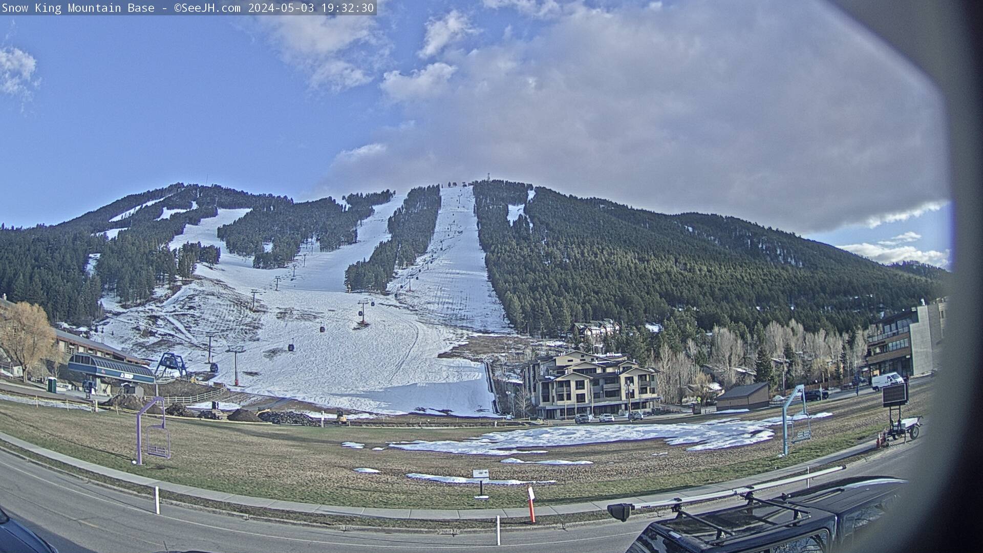
 Snow King Resort
  Jackson, Jackson Hole Airport, WY Updated May 01 @ 03:13

 South
South WebCams
base
WEDNESDAY
May 1

34° / 20°

4 - 12
mph
 3
3
THURSDAY
May 2
40° / 26°
0 - 0
mph
0
FRIDAY
May 3

50° / 30°
0 - 0
mph
0
SATURDAY
May 4

59° / 43°
5 - 13
mph
0
SUNDAY
May 5
52° / 34°
4 - 12
mph
2
MONDAY
May 6
36° / 27°
7 - 15
mph
10
TUESDAY
May 7
34° / 28°
7 - 15
mph
5
Cloudy becoming partly cloudy at times and then mostly clear overnight. Periods of snow are expected in the morning through evening.
Moderate snow with periods of heavy during the day and light in the evening. Snowfall is forecast to be 2 to 4 during the day, and a trace amount in the evening.
Potential Precip:
0.1 to 0.48
Hi: 34°Low: 20°
2,797 feet to 6921 feet
Winds W at 6 to 14 mph in the morning, becoming variable at 4 to 12 mph in the afternoon, and then variable at 3 to 11 mph overnight.
Mostly cloudy becoming partly cloudy at times and then mostly clear overnight. Periods of snow are expected in the morning.
Scattered snow showers possible.
Potential Precip:
0.01 to 0.06
Hi: 40°Low: 26°
4,753 feet to 8170 feet
Winds W at 8 to 16 mph in the morning, becoming calm in the afternoon, and then variable at 5 to 12 mph overnight.
Mostly cloudy becoming mostly clear at times continuing through overnight. Periods of rain are expected in the morning.
No snow.
Potential Precip:
0 to 0.01
Hi: 50°Low: 30°
6,740 feet to 10947 feet
Winds variable at 5 to 13 mph in the morning, becoming calm in the afternoon, and then variable at 4 to 12 mph overnight.
Mostly cloudy becoming cloudy at times continuing through overnight, with periods of rain developing in the afternoon through overnight.
No snow.
Potential Precip:
0.01 to 0.06
Hi: 59°Low: 43°
10,296 feet to 12274 feet
Winds S at 6 to 14 mph in the morning, becoming variable at 5 to 13 mph in the afternoon, and then variable at 4 to 12 mph overnight.
Cloudy through the day and overnight, with periods of rain and snow expected overnight.
Periods of light snow throughout the day, moderate at times overnight. Snowfall is forecast to be 2 to 3 inches.
Potential Precip:
0.29 to 1.45
Hi: 52°Low: 34°
7,124 feet to 10820 feet
Winds variable at 4 to 12 mph throughout the day and into overnight.
Cloudy becoming mostly cloudy at times continuing through overnight, with periods of snow expected at any time.
Periods of moderate to heavy snow throughout the day and overnight. Snowfall is forecast to be 8 to 12 inches.
Potential Precip:
0.52 to 2.59
Hi: 36°Low: 27°
5,263 feet to 7683 feet
Winds W at 7 to 15 mph through the day, becoming variable at 5 to 13 mph overnight.
Mostly cloudy becoming cloudy in the late morning continuing through overnight, with periods of snow expected at any time.
Periods of moderate snow throughout the day and overnight. Snowfall is forecast to be 4 to 7 inches.
Potential Precip:
0.22 to 1.12
Hi: 34°Low: 28°
5,281 feet to 6918 feet
Winds W at 7 to 15 mph through the day, becoming NW at 6 to 14 mph overnight.
 Sunrise & Sunset

Lunar Calendar


 Snow Maps and Weather Stations in the Area
 ![]() 6in, past 7 days. Snow surface is machine groomed and variable conditions
6in, past 7 days. Snow surface is machine groomed and variable conditions
Snow report provided by SnoCountry
advertisement

 Mid-Mountain


