 Mt Waterman Mountain Hig... Mt Baldy Alta Sierra...
 Mt Mawson Ski Resort
  WebCams
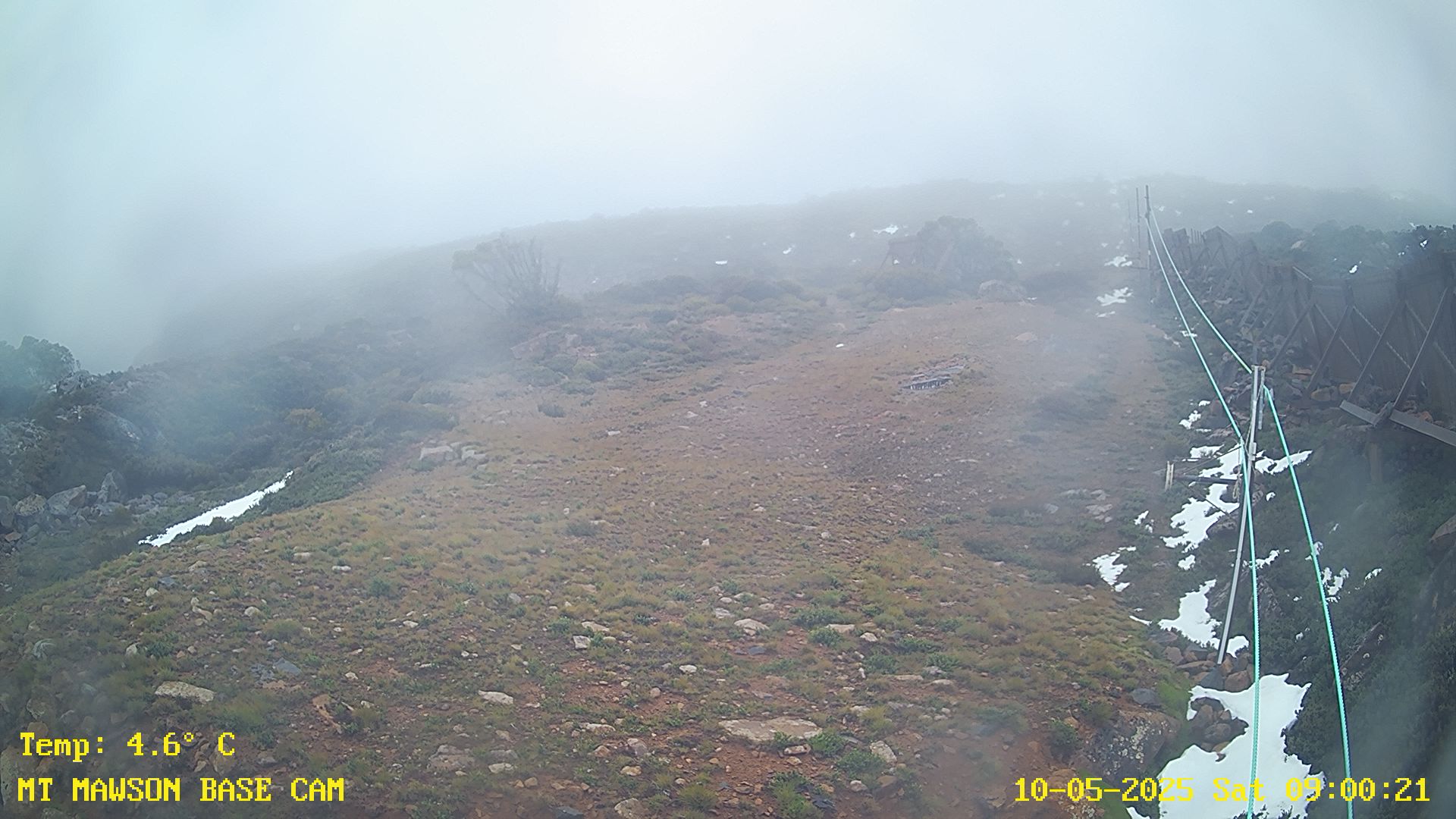
Base Cam
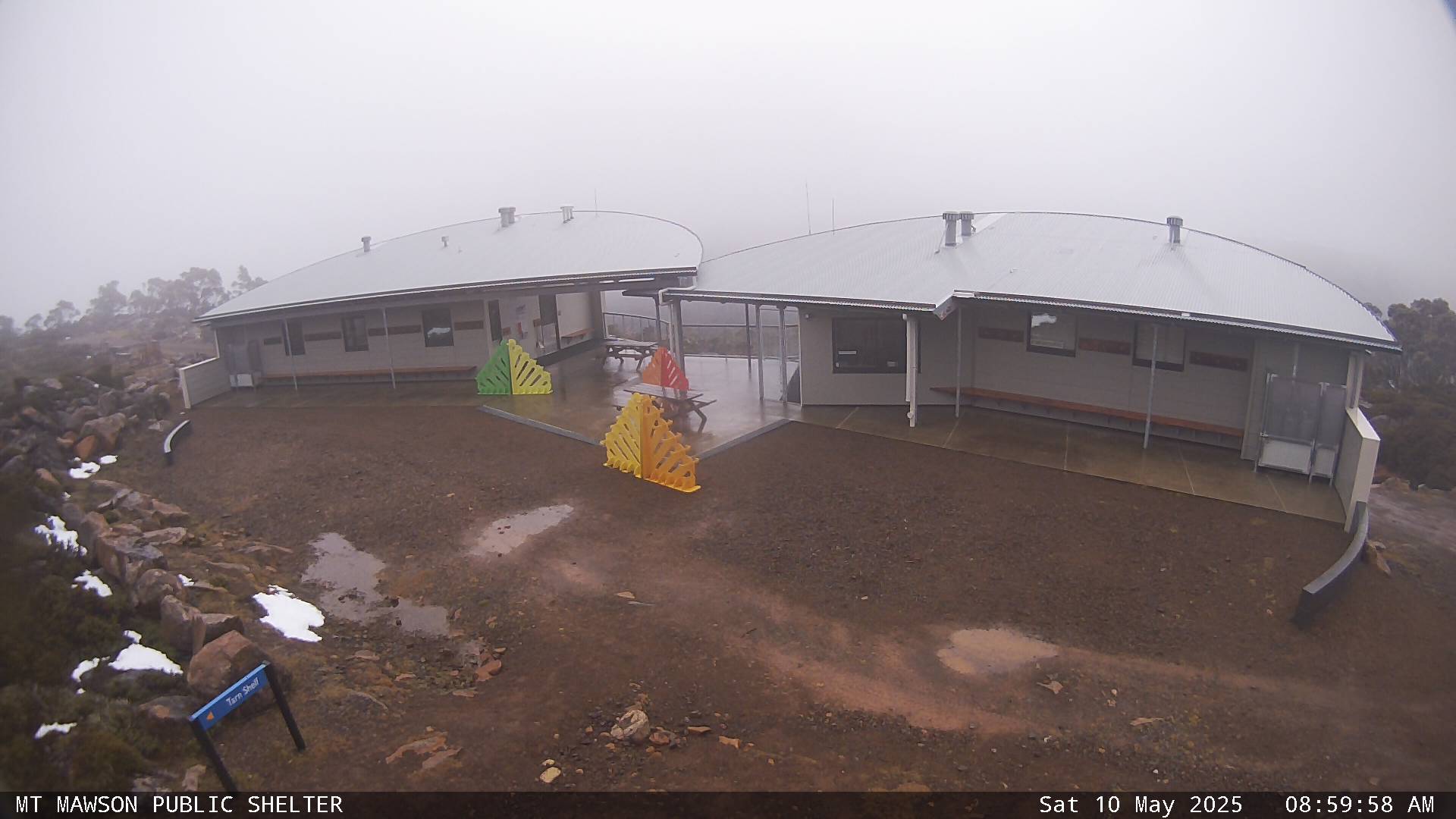
Base Cam 2
THURSDAY
Jun 11

48° / 39°

11 - 20
mph
 0
0
FRIDAY
Jun 12

50° / 37°
10 - 19
mph
0
SATURDAY
Jun 13
53° / 43°

4 - 12
mph
0
SUNDAY
Jun 14
59° / 48°
5 - 13
mph
0
MONDAY
Jun 15

61° / 49°
10 - 19
mph
0
TUESDAY
Jun 16
60° / 51°

25 - 36
mph
0
WEDNESDAY
Jun 17
58° / 53°

14 - 25
mph
0
Clear through the day and overnight, with periods of rain expected in the afternoon.
No snow.
Potential Precip:
0 to 0.02
Hi: 51°Low: 42°
7,735 feet to 11387 feet
Winds SW at 11 to 20 mph in the morning, becoming SW at 10 to 18 mph in the afternoon, and then variable at 6 to 14 mph overnight.
Clear through the day and overnight.
No forecasts available
Potential Precip:
0 to 0.02
Hi: 47°Low: 38°
7,735 feet to 11387 feet
Winds SW at 14 to 25 mph in the morning, becoming SW at 11 to 20 mph in the afternoon, and then variable at 5 to 13 mph overnight.
Partly cloudy becoming mostly cloudy at times continuing through overnight. Periods of rain are expected overnight.
No snow.
Potential Precip:
0 to 0.01
Hi: 53°Low: 38°
8,733 feet to 9791 feet
Winds variable at 10 to 18 mph in the morning, becoming variable at 5 to 13 mph with gusts to 19 in the afternoon, and then variable at 6 to 14 mph overnight.
Partly cloudy becoming mostly cloudy at times continuing through overnight. Periods of rain are expected overnight.
No snow.
Potential Precip:
0 to 0.01
Hi: 49°Low: 36°
8,733 feet to 9791 feet
Winds variable at 9 to 17 mph in the morning, becoming NW at 11 to 20 mph in the afternoon, and then variable at 7 to 15 mph overnight.
Mostly clear becoming cloudy overnight continuing through overnight, with windy conditions at times.
No snow.
No precipitation expected.
Hi: 57°Low: 44°
9,446 feet to 11106 feet
Winds variable at 6 to 14 mph in the morning, becoming variable at 4 to 12 mph in the afternoon, and then variable at 7 to 15 mph overnight.
Mostly clear becoming cloudy overnight continuing through overnight, with windy conditions at times.
No snow.
No precipitation expected.
Hi: 53°Low: 43°
9,446 feet to 11106 feet
Winds variable at 7 to 15 mph in the morning, becoming variable at 4 to 12 mph in the afternoon, and then variable at 7 to 15 mph overnight.
Partly cloudy becoming clear in the afternoon continuing through overnight, with windy conditions at times.
No snow.
No precipitation expected.
Hi: 62°Low: 49°
10,788 feet to 12171 feet
Winds variable at 6 to 14 mph in the morning, becoming variable at 4 to 12 mph in the afternoon, and then E at 10 to 18 mph overnight.
Partly cloudy becoming clear in the afternoon continuing through overnight, with windy conditions at times.
No snow.
No precipitation expected.
Hi: 58°Low: 48°
10,788 feet to 12171 feet
Winds variable at 7 to 15 mph in the morning, becoming variable at 5 to 13 mph in the afternoon, and then E at 9 to 17 mph overnight.
Clear becoming mostly cloudy at times continuing through overnight, with windy conditions at times.
No snow.
No precipitation expected.
Hi: 65°Low: 50°
12,420 feet to 13244 feet
Winds NE at 8 to 16 mph through the day, becoming NE at 13 to 24 mph overnight.
Clear becoming mostly cloudy at times continuing through overnight, with windy conditions at times.
No snow.
No precipitation expected.
Hi: 61°Low: 49°
12,420 feet to 13244 feet
Winds NE at 11 to 20 mph through the day, becoming NE at 14 to 25 mph overnight.
Partly cloudy becoming mostly clear at times continuing through overnight, with periods of rain developing in the afternoon through overnight.
No snow.
Potential Precip:
0.03 to 0.15
Hi: 63°Low: 51°
11,713 feet to 12809 feet
Winds variable at 16 to 27 mph with gusts to 43 through the day, becoming NW at 14 to 23 mph with gusts to 30 overnight.
Partly cloudy becoming mostly clear at times continuing through overnight, with periods of rain developing in the afternoon through overnight.
No snow.
Potential Precip:
0.03 to 0.15
Hi: 59°Low: 51°
11,713 feet to 12809 feet
Winds variable at 27 to 38 mph through the day, becoming NW at 16 to 27 mph with gusts to 35 overnight.
Partly cloudy becoming mostly clear overnight continuing through overnight, with periods of rain expected in the morning.
No snow.
Potential Precip:
0.02 to 0.11
Hi: 61°Low: 54°
12,452 feet to 13093 feet
Winds NW at 10 to 19 mph with gusts to 26 through the day, becoming W at 10 to 19 mph overnight.
Partly cloudy becoming mostly clear overnight continuing through overnight, with periods of rain expected in the morning.
No snow.
Potential Precip:
0.02 to 0.11
Hi: 58°Low: 53°
12,452 feet to 13093 feet
Winds NW at 15 to 26 mph through the day, becoming W at 13 to 22 mph overnight.
 Sunrise & Sunset

Lunar Calendar


 Mountain Base


