 Mt Waterman Mountain Hig... Mt Baldy Alta Sierra...
 Whakapapa Ski Field
  WebCams

Snow Plaza

Happy Valley
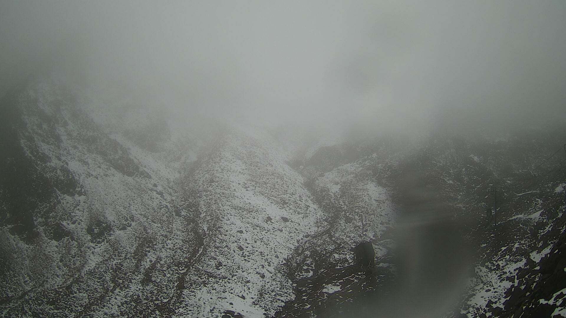
Te Huehue
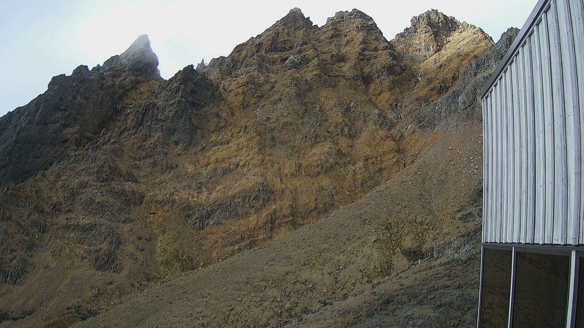
The Pinnacles
SATURDAY
Jun 13
47° / 42°

8 - 16
mph
 0
0
SUNDAY
Jun 14

46° / 40°

15 - 26
mph
0
MONDAY
Jun 15

40° / 36°
14 - 23
mph
0
TUESDAY
Jun 16
36° / 34°
8 - 16
mph
1
WEDNESDAY
Jun 17

37° / 34°

10 - 19
mph
0
THURSDAY
Jun 18
37° / 18°
13 - 22
mph
5
FRIDAY
Jun 19

27° / 16°

32 - 43
mph
2
Partly cloudy becoming mostly cloudy at times continuing through overnight, with windy conditions at times.
No snow.
No precipitation expected.
Hi: 56°Low: 52°
13,773 feet to 14028 feet
Winds variable at 8 to 16 mph in the morning, becoming variable at 4 to 11 mph in the afternoon, and then variable at 3 to 11 mph overnight.
Partly cloudy through the day and overnight. Expect windy conditions at times.
No snow.
No precipitation expected.
Hi: 48°Low: 43°
13,773 feet to 14028 feet
Winds SE at 12 to 21 mph in the morning, becoming E at 6 to 14 mph in the afternoon, and then variable at 6 to 14 mph overnight.
Mostly cloudy through the day and overnight, with periods of rain developing in the evening through overnight.
No snow.
Potential Precip:
0 to 0.02
Hi: 52°Low: 47°
12,040 feet to 13725 feet
Winds NW at 13 to 22 mph in the morning, becoming W at 16 to 27 mph in the afternoon, and then W at 14 to 23 mph overnight.
Mostly cloudy through the day and overnight, with periods of rain expected overnight.
No snow.
Potential Precip:
0 to 0.02
Hi: 48°Low: 41°
12,040 feet to 13725 feet
Winds NW at 13 to 24 mph in the morning, becoming W at 16 to 27 mph in the afternoon, and then W at 15 to 26 mph overnight.
Cloudy becoming mostly cloudy at times continuing through overnight, with periods of rain expected in the morning through overnight.
No snow.
Potential Precip:
0.05 to 0.26
Hi: 51°Low: 47°
9,967 feet to 11851 feet
Winds W at 14 to 23 mph in the morning, becoming W at 13 to 22 mph in the afternoon, and then variable at 6 to 14 mph overnight.
Partly cloudy through the day becoming mostly cloudy overnight. Periods of rain and snow are expected overnight.
Light snow in the evening. Snowfall is forecast to be a trace amount in the evening.
Potential Precip:
0.13 to 0.66
Hi: 42°Low: 37°
9,967 feet to 11851 feet
Winds W at 13 to 22 mph in the morning, becoming W at 12 to 21 mph in the afternoon, and then W at 6 to 14 mph overnight.
Mostly cloudy becoming partly cloudy in the evening continuing through overnight, with periods of rain expected at any time.
No snow.
Potential Precip:
0.07 to 0.34
Hi: 49°Low: 46°
9,284 feet to 9812 feet
Winds variable at 13 to 24 mph in the morning, becoming S at 13 to 24 mph in the afternoon, and then variable at 6 to 14 mph overnight.
Mostly cloudy becoming mostly clear at times continuing through overnight, with periods of rain and snow expected overnight.
Periods of light snow throughout the day and overnight. Snowfall is forecast to be a trace amount.
Potential Precip:
0.09 to 0.47
Hi: 39°Low: 36°
9,284 feet to 9812 feet
Winds variable at 7 to 15 mph in the morning, becoming NW at 8 to 16 mph in the afternoon, and then NW at 9 to 17 mph overnight.
Partly cloudy becoming clear in the afternoon continuing through overnight, with periods of rain expected in the morning.
No snow.
Potential Precip:
0.01 to 0.04
Hi: 50°Low: 45°
9,459 feet to 10557 feet
Winds W at 7 to 15 mph through the day, becoming SW at 13 to 22 mph overnight.
Clear through the day becoming mostly clear overnight.
Periods of snow throughout the day and overnight.
Potential Precip:
0.01 to 0.04
Hi: 39°Low: 35°
9,459 feet to 10557 feet
Winds W at 10 to 19 mph through the day, becoming W at 13 to 24 mph overnight.
Clear becoming mostly clear in the late morning continuing through overnight, with periods of snow expected in the evening.
Periods of light snow throughout the day. Snowfall is forecast to be a trace amount.
Potential Precip:
0 to 0.02
Hi: 48°Low: 32°
4,465 feet to 10427 feet
Winds variable at 12 to 21 mph through the day, becoming S at 15 to 26 mph with gusts to 32 overnight.
Mostly clear becoming mostly cloudy in the late morning and then partly cloudy overnight. Periods of snow are expected at any time.
Periods of light snow throughout the day, heavy at times overnight. Snowfall is forecast to be 3 to 6 inches.
Potential Precip:
0.11 to 0.53
Hi: 39°Low: 20°
4,465 feet to 10427 feet
Winds variable at 13 to 22 mph through the day, becoming S at 32 to 43 mph overnight.
Mostly clear through the day and overnight, with periods of snow expected overnight.
Periods of light snow overnight. Snowfall is forecast to be a trace amount.
Potential Precip:
0.01 to 0.03
Hi: 37°Low: 29°
4,092 feet to 5980 feet
Winds S at 20 to 31 mph through the day, becoming S at 17 to 28 mph with gusts to 45 overnight.
Mostly cloudy becoming partly cloudy in the evening continuing through overnight, with periods of snow expected at any time.
Periods of light snow throughout the day and overnight. Snowfall is forecast to be 2 to 3 inches.
Potential Precip:
0.04 to 0.2
Hi: 27°Low: 18°
4,092 feet to 5980 feet
Winds S at 33 to 44 mph throughout the day and into overnight.
 Sunrise & Sunset

Lunar Calendar


 Mountain Base


