 Mad River Mo... Nitehawk Ski... Clear Fork R... Snow Trails
 Grand Targhee Resort
  Jackson, Jackson Hole Airport, WY Updated Apr 26 @ 08:15


 WebCams
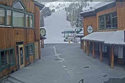
Base
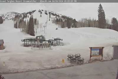
Dream Catcher

Peaked
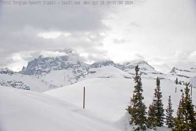
Summit

Teton Pass - West
FRIDAY
Apr 26

41° / 34°

10 - 19
mph
 0
0
SATURDAY
Apr 27
39° / 29°

5 - 13
mph
6
SUNDAY
Apr 28
35° / 30°

16 - 27
mph
3
MONDAY
Apr 29
32° / 23°
15 - 26
mph
2
TUESDAY
Apr 30
34° / 20°

22 - 33
mph
9
WEDNESDAY
May 1

31° / 22°
13 - 24
mph
3
THURSDAY
May 2
43° / 35°
6 - 14
mph
0
Mostly cloudy becoming cloudy at times continuing through overnight. Periods of rain are expected in the morning through evening.
No snow.
Potential Precip:
0.02 to 0.1
Hi: 55°Low: 42°
8,805 feet to 9911 feet
Winds variable at 5 to 12 mph in the morning, becoming variable at 4 to 12 mph in the afternoon through overnight.
Mostly cloudy becoming cloudy in the late morning continuing through overnight, with periods of rain expected at any time.
No snow.
Potential Precip:
0.36 to 1.78
Hi: 53°Low: 40°
7,281 feet to 9694 feet
Winds SW at 6 to 14 mph in the morning, becoming variable at 4 to 11 mph in the afternoon, and then variable at 5 to 13 mph overnight.
Cloudy becoming partly cloudy at times and then mostly cloudy overnight. Periods of rain are expected in the morning through overnight.
No snow.
Potential Precip:
0.15 to 0.73
Hi: 46°Low: 39°
7,235 feet to 8692 feet
Winds SW at 6 to 14 mph in the morning, becoming variable at 4 to 12 mph in the afternoon, and then S at 7 to 15 mph overnight.
Partly cloudy becoming mostly cloudy at times continuing through overnight.
Periods of light snow throughout the day. Snowfall is forecast to be a trace amount.
Potential Precip:
0.06 to 0.32
Hi: 46°Low: 28°
3,757 feet to 8108 feet
Winds SW at 15 to 26 mph in the morning, becoming SW at 6 to 14 mph in the afternoon, and then variable at 8 to 16 mph overnight.
Cloudy through the day and overnight, with periods of rain and snow expected overnight.
Periods of light snow throughout the day, moderate at times overnight. Snowfall is forecast to be 1 to 2 inches.
Potential Precip:
0.23 to 1.13
Hi: 46°Low: 33°
5,378 feet to 8468 feet
Winds SW at 10 to 18 mph through the day, becoming SW at 10 to 19 mph overnight.
Cloudy becoming mostly clear at times and then clear overnight. Periods of snow are expected in the morning.
Periods of light to moderate snow throughout the day. Snowfall is forecast to be 1 to 2 inches.
Potential Precip:
0.08 to 0.42
Hi: 45°Low: 27°
3,759 feet to 7900 feet
Winds variable at 8 to 16 mph through the day, becoming variable at 3 to 11 mph overnight.
Mostly cloudy becoming partly cloudy at times continuing through overnight, with periods of rain expected overnight.
No snow.
Potential Precip:
0 to 0.01
Hi: 56°Low: 39°
7,713 feet to 10371 feet
Winds variable at 4 to 12 mph throughout the day and into overnight.
Mostly cloudy becoming partly cloudy at times continuing through overnight, with periods of rain expected overnight.
No snow.
Potential Precip:
0 to 0.01
Hi: 56°Low: 39°
7,713 feet to 10371 feet
Winds variable at 4 to 12 mph throughout the day and into overnight.
 Sunrise & Sunset

Lunar Calendar


advertisement

 Snow Maps and Weather Stations in the Area
 ![]() 27in, past 7 days. Snow surface is packed powder and machine groomed
27in, past 7 days. Snow surface is packed powder and machine groomed
Snow report provided by SnoCountry
advertisement
 Mountain Base


