 Mt Waterman Mountain Hig... Mt Baldy Alta Sierra...
 Areches (Beaufort)
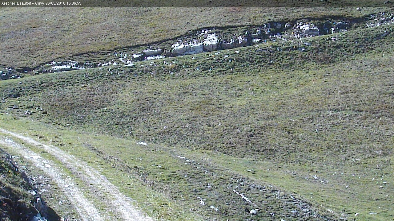
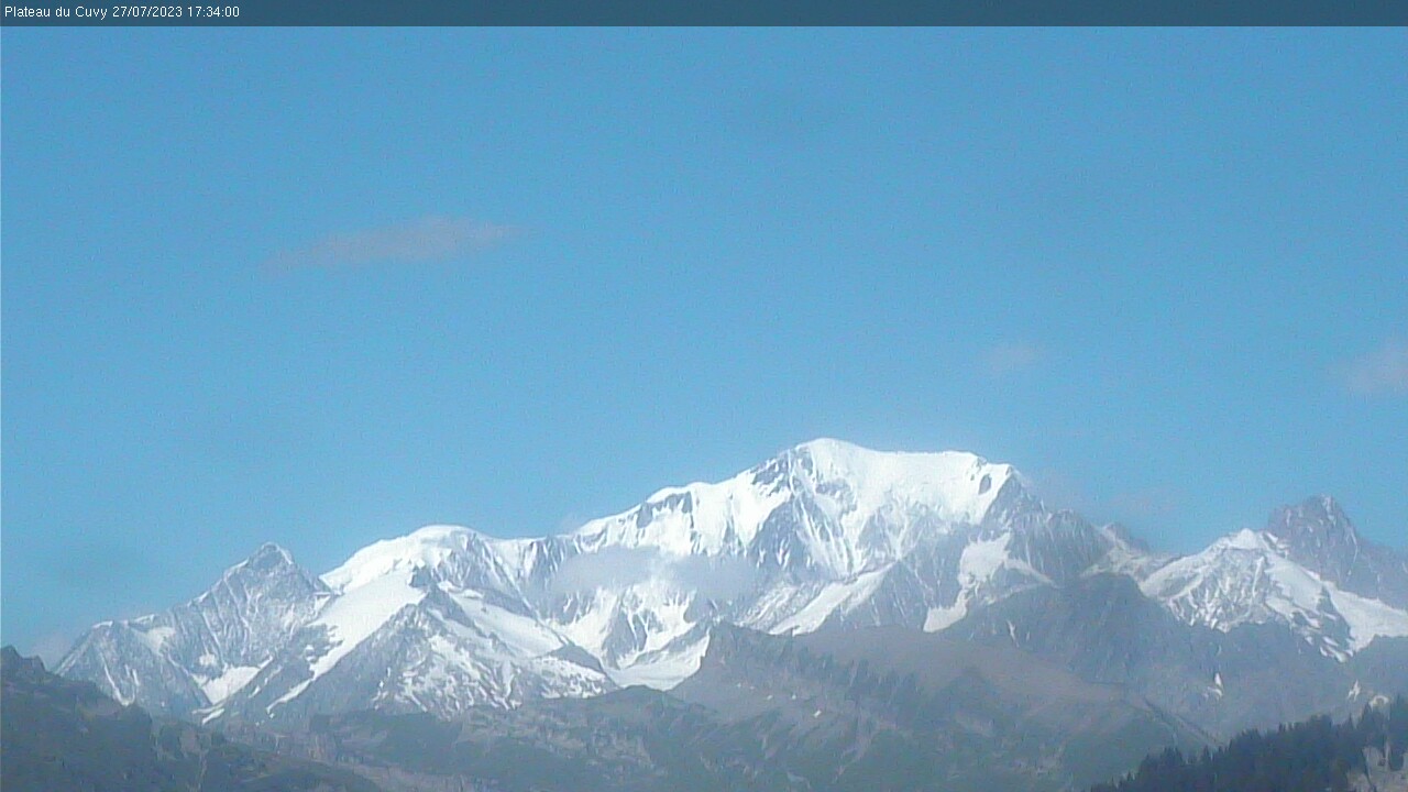
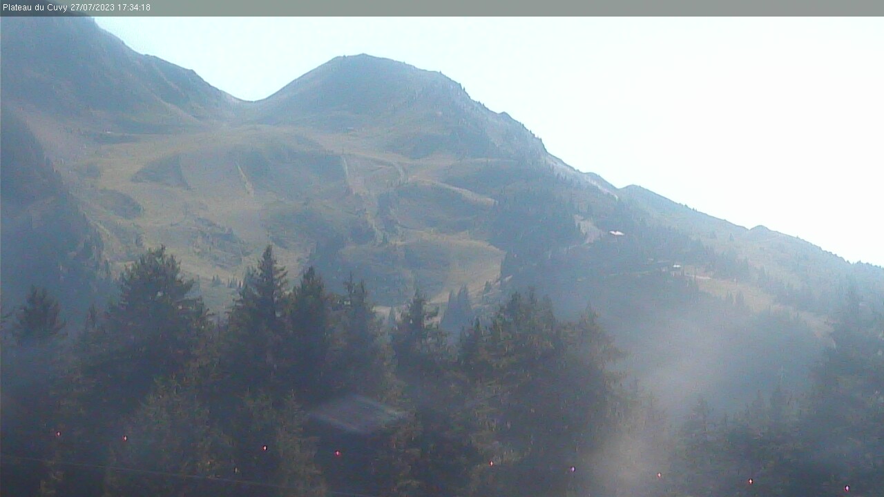
  WebCams
ARRIVE TSD GRAND MONT
SECTUER GRANDE COMBE
PISTE DE BONNETS ROUGES
TUESDAY
Mar 31

51° / 39°

5 - 12
mph
 0
0
WEDNESDAY
Apr 1

50° / 38°
5 - 12
mph
0
THURSDAY
Apr 2
52° / 38°
5 - 12
mph
0
FRIDAY
Apr 3

48° / 38°
5 - 12
mph
0
SATURDAY
Apr 4

48° / 37°

3 - 10
mph
0
SUNDAY
Apr 5

51° / 38°
4 - 12
mph
0
Partly cloudy becoming mostly clear overnight continuing through overnight, with periods of rain expected in the morning through evening.
No snow.
Potential Precip:
0 to 0.02
Hi: 51°Low: 39°
9,869 feet to 10264 feet
Winds variable at 4 to 12 mph in the morning, becoming variable at 5 to 12 mph in the afternoon, and then variable at 4 to 12 mph overnight.
Mostly clear becoming clear overnight continuing through overnight.
Scattered snow showers possible.
Potential Precip:
0.01 to 0.04
Hi: 50°Low: 38°
9,324 feet to 9909 feet
Winds variable at 4 to 12 mph in the morning, becoming variable at 5 to 12 mph in the afternoon, and then variable at 4 to 12 mph overnight.
Mostly clear becoming partly cloudy overnight continuing through overnight.
Periods of snow throughout the day and overnight.
Potential Precip:
0.01 to 0.04
Hi: 52°Low: 38°
8,712 feet to 9922 feet
Winds variable at 4 to 12 mph in the morning, becoming variable at 5 to 12 mph in the afternoon, and then variable at 4 to 12 mph overnight.
Mostly cloudy becoming partly cloudy at times continuing through overnight, with periods of rain and snow expected overnight.
Periods of light snow throughout the day. Snowfall is forecast to be a trace amount.
Potential Precip:
0.01 to 0.04
Hi: 48°Low: 38°
6,045 feet to 8527 feet
Winds variable at 5 to 12 mph through the day, becoming variable at 4 to 11 mph overnight.
Partly cloudy becoming mostly cloudy at times continuing through overnight, with periods of snow expected in the morning.
Periods of light snow throughout the day. Snowfall is forecast to be a trace amount.
Potential Precip:
0.01 to 0.04
Hi: 48°Low: 37°
5,386 feet to 7287 feet
Winds variable at 3 to 10 mph through the day, becoming variable at 5 to 12 mph overnight.
Cloudy becoming partly cloudy in the late morning and then cloudy overnight. Periods of rain are expected in the morning through overnight.
No snow.
Potential Precip:
0.01 to 0.06
Hi: 51°Low: 38°
6,858 feet to 7613 feet
Winds variable at 4 to 12 mph throughout the day and into overnight.
 Sunrise & Sunset

Lunar Calendar


 Mid-Mountain


