 Mt Waterman Mountain Hig... Mt Baldy Alta Sierra...
 Aussois
  WebCams
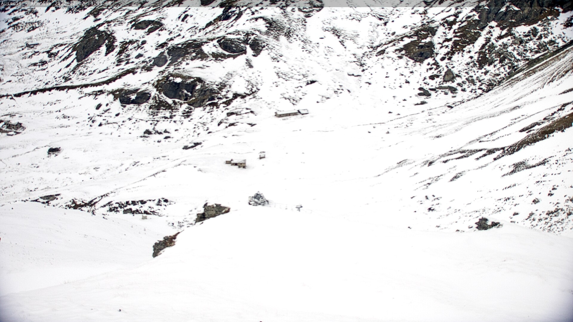
Depart TSF Fournache
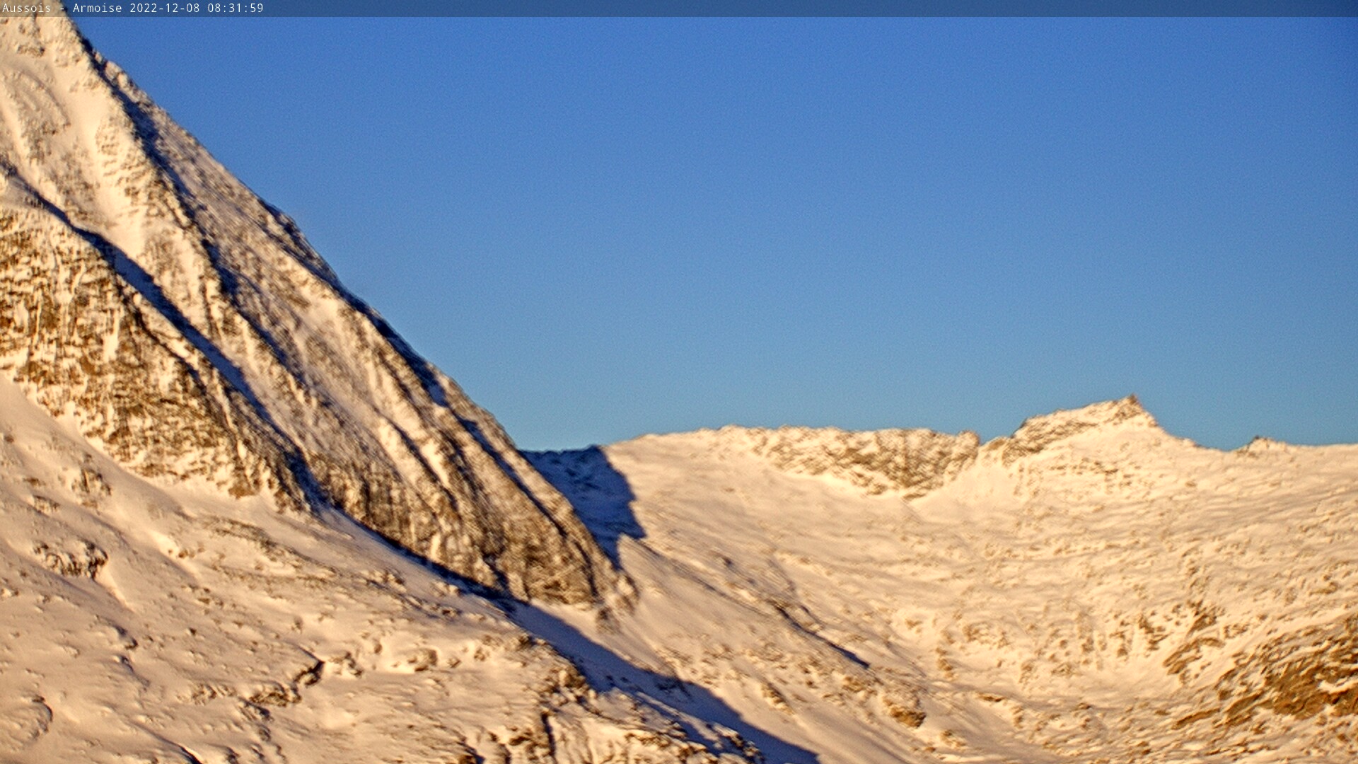
Le col d'Aussois
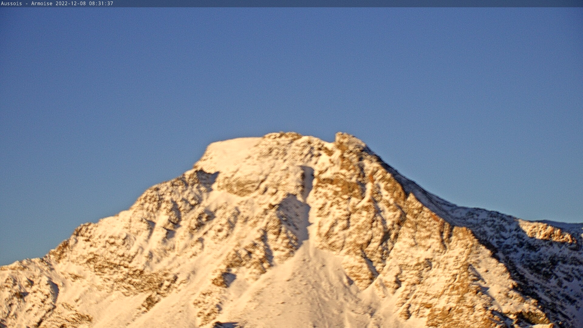
La Dent Parrachee
MONDAY
Apr 6

45° / 37°

7 - 15
mph
 0
0
TUESDAY
Apr 7
46° / 36°
4 - 11
mph
0
WEDNESDAY
Apr 8

44° / 35°
5 - 12
mph
0
THURSDAY
Apr 9
43° / 31°
4 - 12
mph
0
FRIDAY
Apr 10

42° / 29°

3 - 11
mph
0
SATURDAY
Apr 11

40° / 28°
4 - 12
mph
0
SUNDAY
Apr 12
41° / 32°
6 - 14
mph
0
Clear becoming mostly clear in the afternoon and then partly cloudy overnight.
No snow.
Potential Precip:
0 to 0.01
Hi: 45°Low: 37°
7,732 feet to 10863 feet
Winds NW at 8 to 16 mph in the morning, becoming NW at 7 to 15 mph in the afternoon, and then variable at 4 to 12 mph overnight.
Mostly clear becoming partly cloudy at times and then mostly clear overnight. Periods of rain are expected in the morning through evening.
No snow.
Potential Precip:
0 to 0.02
Hi: 46°Low: 36°
6,702 feet to 11439 feet
Winds variable at 5 to 12 mph in the morning, becoming variable at 4 to 11 mph in the afternoon, and then variable at 5 to 12 mph overnight.
Partly cloudy becoming clear in the afternoon continuing through overnight.
Scattered snow showers possible.
Potential Precip:
0 to 0.02
Hi: 44°Low: 35°
8,909 feet to 10836 feet
Winds variable at 4 to 12 mph in the morning, becoming variable at 5 to 12 mph in the afternoon through overnight.
Mostly clear becoming clear in the afternoon and then mostly clear overnight. Periods of rain and snow are expected overnight.
Periods of snow throughout the day and overnight.
Potential Precip:
0.01 to 0.03
Hi: 43°Low: 31°
4,729 feet to 10137 feet
Winds variable at 4 to 11 mph in the morning, becoming variable at 4 to 12 mph in the afternoon, and then variable at 5 to 12 mph overnight.
Mostly cloudy becoming clear at times continuing through overnight, with periods of snow expected in the morning.
Periods of light snow throughout the day. Snowfall is forecast to be a trace amount.
Potential Precip:
0.01 to 0.03
Hi: 42°Low: 29°
3,888 feet to 7458 feet
Winds variable at 3 to 11 mph through the day, becoming variable at 5 to 12 mph overnight.
Clear becoming partly cloudy at times and then mostly cloudy overnight.
Periods of light snow throughout the day. Snowfall is forecast to be a trace amount.
Potential Precip:
0.01 to 0.03
Hi: 40°Low: 28°
3,652 feet to 7147 feet
Winds variable at 4 to 12 mph throughout the day and into overnight.
Partly cloudy through the day and overnight, with periods of rain and snow expected overnight.
Periods of light snow throughout the day and overnight. Snowfall is forecast to be a trace amount.
Potential Precip:
0.03 to 0.14
Hi: 41°Low: 32°
4,741 feet to 7088 feet
Winds SE at 6 to 14 mph through the day, becoming variable at 4 to 12 mph overnight.
 Sunrise & Sunset

Lunar Calendar


 Mid-Mountain


