 Mt Waterman Mountain Hig... Mt Baldy Alta Sierra...
 Autrans-La Sure
  WebCams
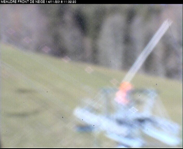
Piste de I'Ecureil
TSF du goncon
TK ECUREUIL
WEDNESDAY
Jul 29
49° / 45°

12 - 21
mph
 0
0
THURSDAY
Jul 30
47° / 44°

8 - 16
mph
0
FRIDAY
Jul 31

45° / 44°
4 - 11
mph
0
SATURDAY
Aug 1
45° / 42°
11 - 20
mph
0
SUNDAY
Aug 2

42° / 36°
10 - 19
mph
0
MONDAY
Aug 3

41° / 32°
5 - 13
mph
0
TUESDAY
Aug 4

43° / 40°

13 - 22
mph
0
Clear becoming partly cloudy in the evening continuing through overnight, with windy conditions at times.
No snow.
No precipitation expected.
Hi: 49°Low: 45°
9,951 feet to 10588 feet
Winds N at 14 to 25 mph in the morning, becoming N at 12 to 21 mph in the afternoon, and then variable at 5 to 13 mph overnight.
Partly cloudy becoming mostly clear in the afternoon continuing through overnight, with windy conditions at times.
No snow.
No precipitation expected.
Hi: 47°Low: 44°
9,774 feet to 10143 feet
Winds SW at 6 to 14 mph in the morning, becoming S at 8 to 16 mph in the afternoon, and then S at 7 to 15 mph overnight.
Mostly clear through the day becoming clear overnight. Expect windy conditions at times.
No snow.
No precipitation expected.
Hi: 45°Low: 44°
9,403 feet to 10263 feet
Winds variable at 4 to 12 mph in the morning, becoming variable at 4 to 11 mph in the afternoon, and then variable at 4 to 12 mph overnight.
Mostly clear becoming partly cloudy at times continuing through overnight, with windy conditions at times.
No snow.
No precipitation expected.
Hi: 45°Low: 42°
8,671 feet to 10002 feet
Winds S at 8 to 16 mph in the morning, becoming S at 11 to 20 mph in the afternoon through overnight.
Mostly cloudy through the day and overnight, with windy conditions at times.
No snow.
No precipitation expected.
Hi: 42°Low: 36°
6,163 feet to 8263 feet
Winds S at 10 to 19 mph through the day, becoming variable at 5 to 12 mph overnight.
Mostly cloudy becoming mostly clear in the afternoon and then partly cloudy overnight. Periods of snow are expected in the morning.
Periods of light snow throughout the day. Snowfall is forecast to be a trace amount.
Potential Precip:
0 to 0.01
Hi: 41°Low: 32°
4,943 feet to 7496 feet
Winds variable at 5 to 13 mph through the day, becoming S at 8 to 16 mph overnight.
Partly cloudy becoming cloudy in the afternoon and then mostly cloudy overnight. Periods of rain are expected in the morning.
No snow.
Potential Precip:
0 to 0.01
Hi: 43°Low: 40°
6,893 feet to 7678 feet
Winds S at 13 to 22 mph through the day, becoming variable at 5 to 13 mph overnight.
 Sunrise & Sunset

Lunar Calendar


 Mid-Mountain


