 Mt Waterman Mountain Hig... Mt Baldy Alta Sierra...
 Big White Ski Resort
  WebCams
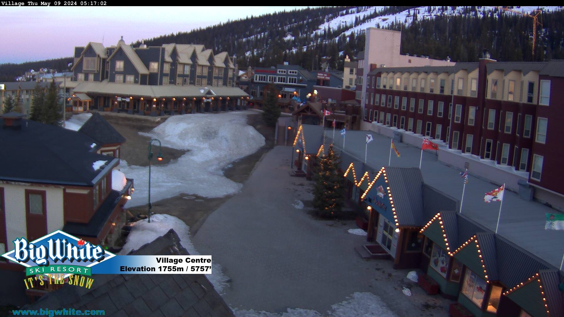
Village - 5,757'/ 1,755m

Easy Street - 5,790'/ 1,765m

Happy Valley - 5,470'/ 1,667m
TELUS Park - 5,973'/ 1,820m
SUNDAY
Jul 19

26° / 20°

10 - 18
mph
 0
0
MONDAY
Jul 20
25° / 22°

16 - 27
mph
0
TUESDAY
Jul 21

25° / 17°

26 - 37
mph
1
WEDNESDAY
Jul 22
25° / 19°

4 - 12
mph
0
THURSDAY
Jul 23

28° / 24°
6 - 14
mph
0
FRIDAY
Jul 24
29° / 26°
7 - 15
mph
0
Partly cloudy becoming cloudy at times and then mostly cloudy overnight. Periods of snow are expected in the afternoon.
Periods of light snow during the day. Snowfall is forecast to be a trace amount during the day.
Potential Precip:
0 to 0.01
Hi: 28°Low: 25°
0 feet to 3928 feet
Winds S at 10 to 18 mph in the morning, becoming S at 10 to 19 mph in the afternoon, and then SW at 13 to 22 mph overnight.
Partly cloudy becoming cloudy at times and then mostly cloudy overnight. Periods of snow are expected in the afternoon.
Periods of light snow during the day. Snowfall is forecast to be a trace amount during the day.
Potential Precip:
0 to 0.02
Hi: 29°Low: 24°
615 feet to 4164 feet
Winds S at 13 to 24 mph in the morning, becoming SW at 13 to 24 mph in the afternoon, and then SW at 9 to 17 mph overnight.
Mostly cloudy becoming mostly clear at times continuing through overnight. Periods of snow are expected in the morning through afternoon.
Periods of light snow throughout the day. Snowfall is forecast to be a trace amount.
Potential Precip:
0.01 to 0.06
Hi: 31°Low: 21°
0 feet to 4869 feet
Winds SW at 7 to 15 mph in the morning, becoming NW at 14 to 25 mph in the afternoon, and then W at 7 to 15 mph overnight.
Mostly clear becoming partly cloudy in the late morning and then mostly clear overnight. Expect windy conditions at times.
No snow.
No precipitation expected.
Hi: 28°Low: 24°
0 feet to 4154 feet
Winds variable at 5 to 12 mph throughout the day and into overnight.
Mostly clear becoming partly cloudy in the late morning and then mostly clear overnight. Expect windy conditions at times.
No snow.
No precipitation expected.
Hi: 28°Low: 24°
0 feet to 4154 feet
Winds variable at 5 to 12 mph throughout the day and into overnight.
Mostly clear through the day and overnight.
Periods of snow throughout the day and overnight.
Potential Precip:
0 to 0.01
Hi: 31°Low: 26°
430 feet to 4722 feet
Winds S at 6 to 14 mph throughout the day and into overnight.
Mostly clear through the day and overnight.
Periods of snow throughout the day and overnight.
Potential Precip:
0 to 0.01
Hi: 31°Low: 26°
430 feet to 4722 feet
Winds S at 6 to 14 mph throughout the day and into overnight.
Partly cloudy becoming mostly clear overnight continuing through overnight, with windy conditions at times.
No snow.
No precipitation expected.
Hi: 33°Low: 30°
1,478 feet to 5166 feet
Winds S at 8 to 16 mph through the day, becoming variable at 4 to 11 mph overnight.
Partly cloudy becoming mostly clear overnight continuing through overnight, with windy conditions at times.
No snow.
No precipitation expected.
Hi: 33°Low: 30°
1,478 feet to 5166 feet
Winds S at 8 to 16 mph through the day, becoming variable at 4 to 11 mph overnight.
 Sunrise & Sunset

Lunar Calendar


 Snow Maps and Weather Stations in the Area
 ![]() 13in, past 6 days. Snow surface is packed powder and machine groomed
13in, past 6 days. Snow surface is packed powder and machine groomed
Snow report provided by SnoCountry
 Mountain Base


