 Vars
Vars  Mt Waterman Mountain Hig... Mt Baldy
 Chatel
  WebCams
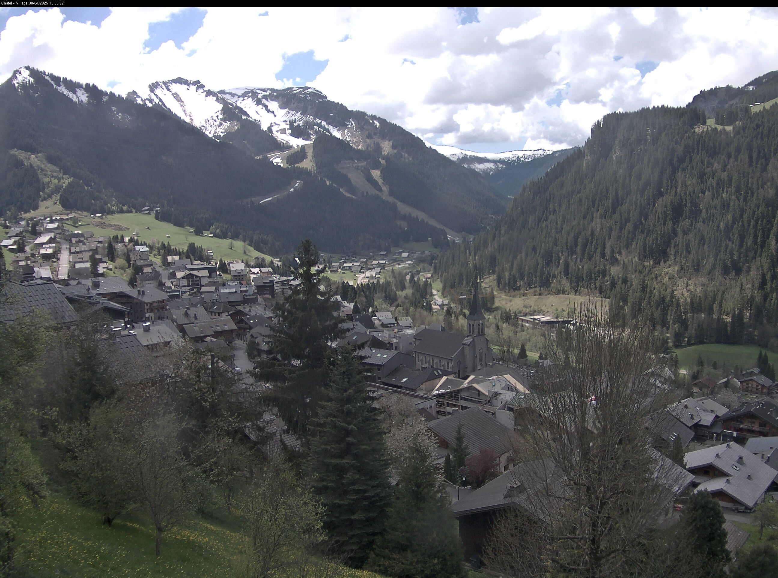
Village

Vonnes Lake
SUNDAY
Mar 29

46° / 40°

5 - 13
mph
 0
0
MONDAY
Mar 30

45° / 43°
5 - 12
mph
0
TUESDAY
Mar 31
43° / 42°

0 - 0
mph
0
WEDNESDAY
Apr 1
44° / 41°
4 - 12
mph
0
THURSDAY
Apr 2

40° / 33°
4 - 11
mph
0
FRIDAY
Apr 3

38° / 31°
4 - 12
mph
0
SATURDAY
Apr 4
41° / 35°
4 - 12
mph
0
Mostly clear becoming clear at times continuing through overnight.
No snow.
Potential Precip:
0 to 0.01
Hi: 46°Low: 40°
8,156 feet to 10449 feet
Winds variable at 4 to 12 mph in the morning, becoming variable at 5 to 13 mph in the afternoon, and then variable at 4 to 12 mph overnight.
Clear becoming mostly clear at times continuing through overnight, with windy conditions at times.
No snow.
No precipitation expected.
Hi: 45°Low: 43°
9,288 feet to 10180 feet
Winds variable at 4 to 12 mph in the morning, becoming variable at 5 to 12 mph in the afternoon through overnight.
Mostly clear becoming clear in the evening continuing through overnight, with windy conditions at times.
No snow.
No precipitation expected.
Hi: 43°Low: 42°
9,051 feet to 9689 feet
Winds variable at 4 to 11 mph in the morning, becoming calm in the afternoon, and then variable at 4 to 11 mph overnight.
Clear becoming partly cloudy at times continuing through overnight, with windy conditions at times.
No snow.
No precipitation expected.
Hi: 44°Low: 41°
8,238 feet to 9554 feet
Winds variable at 4 to 12 mph through the day, becoming variable at 5 to 12 mph overnight.
Partly cloudy becoming mostly cloudy in the afternoon continuing through overnight, with periods of snow expected overnight.
Periods of light snow overnight. Snowfall is forecast to be a trace amount.
Potential Precip:
0 to 0.01
Hi: 40°Low: 33°
5,982 feet to 8001 feet
Winds variable at 4 to 11 mph through the day, becoming variable at 5 to 12 mph overnight.
Mostly cloudy through the day and overnight, with periods of snow expected in the morning.
Periods of light snow throughout the day. Snowfall is forecast to be a trace amount.
Potential Precip:
0.01 to 0.07
Hi: 38°Low: 31°
5,549 feet to 7572 feet
Winds variable at 4 to 12 mph throughout the day and into overnight.
Cloudy becoming partly cloudy in the late morning continuing through overnight, with periods of snow developing in the evening through overnight.
Periods of light snow throughout the day and overnight. Snowfall is forecast to be a trace amount.
Potential Precip:
0.01 to 0.07
Hi: 41°Low: 35°
6,520 feet to 8193 feet
Winds variable at 4 to 12 mph through the day, becoming variable at 4 to 11 mph overnight.
 Sunrise & Sunset

Lunar Calendar


 Mid-Mountain


