 Mt Waterman Mt Baldy Mountain Hig... Snow Valley...
 Antagnod
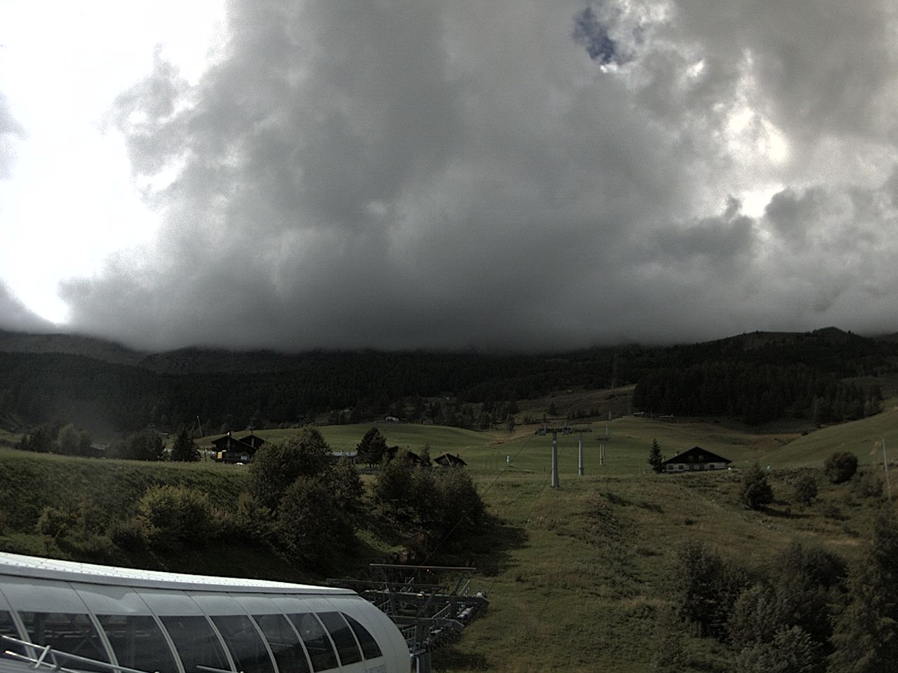
  WebCams

MONDAY
Jun 8

39° / 32°

6 - 14
mph
 0
0
TUESDAY
Jun 9

41° / 35°
4 - 11
mph
0
WEDNESDAY
Jun 10

40° / 31°
5 - 12
mph
0
THURSDAY
Jun 11
37° / 30°
5 - 13
mph
0
FRIDAY
Jun 12

34° / 26°
5 - 13
mph
0
SATURDAY
Jun 13

32° / 23°
4 - 12
mph
0
SUNDAY
Jun 14
32° / 26°
8 - 16
mph
1
Clear becoming mostly clear in the late morning continuing through overnight, with windy conditions at times.
No snow.
No precipitation expected.
Hi: 39°Low: 32°
6,999 feet to 10819 feet
Winds N at 7 to 15 mph in the morning, becoming N at 6 to 14 mph in the afternoon, and then variable at 4 to 12 mph overnight.
Mostly clear becoming clear in the afternoon and then mostly clear overnight.
No snow.
Potential Precip:
0 to 0.01
Hi: 41°Low: 35°
8,338 feet to 10903 feet
Winds variable at 5 to 12 mph in the morning, becoming variable at 4 to 11 mph in the afternoon through overnight.
Mostly clear becoming clear overnight continuing through overnight.
Scattered snow showers possible.
Potential Precip:
0 to 0.01
Hi: 40°Low: 31°
7,662 feet to 11377 feet
Winds variable at 5 to 13 mph in the morning, becoming variable at 5 to 12 mph in the afternoon through overnight.
Clear becoming mostly clear in the afternoon continuing through overnight.
Periods of snow throughout the day and overnight.
Potential Precip:
0 to 0.01
Hi: 37°Low: 30°
6,226 feet to 9020 feet
Winds variable at 5 to 13 mph through the day, becoming SE at 6 to 14 mph overnight.
Partly cloudy becoming mostly cloudy in the late morning continuing through overnight. Periods of snow are expected in the morning through afternoon.
Periods of light snow throughout the day. Snowfall is forecast to be a trace amount.
Potential Precip:
0 to 0.02
Hi: 34°Low: 26°
5,191 feet to 7559 feet
Winds variable at 5 to 13 mph through the day, becoming variable at 4 to 12 mph overnight.
Mostly clear becoming partly cloudy in the afternoon and then mostly cloudy overnight. Periods of snow are expected in the evening through overnight.
Periods of light snow throughout the day and overnight. Snowfall is forecast to be a trace amount.
Potential Precip:
0.01 to 0.04
Hi: 32°Low: 23°
4,500 feet to 7122 feet
Winds variable at 4 to 12 mph through the day, becoming S at 7 to 15 mph overnight.
Mostly cloudy becoming partly cloudy at times and then mostly cloudy overnight. Periods of snow are expected at any time.
Periods of light snow throughout the day and overnight. Snowfall is forecast to be a trace amount.
Potential Precip:
0.02 to 0.08
Hi: 32°Low: 26°
5,238 feet to 6951 feet
Winds SE at 8 to 16 mph through the day, becoming variable at 5 to 13 mph overnight.
 Sunrise & Sunset

Lunar Calendar


 Mid-Mountain


