 Mt Waterman Mountain Hig... Mt Baldy Alta Sierra...
 Autrans-La Sure
  WebCams
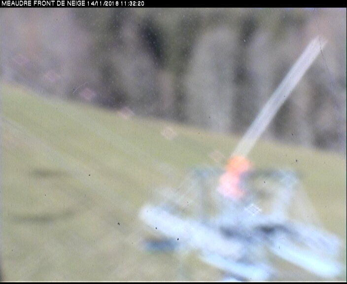
Piste de I'Ecureil
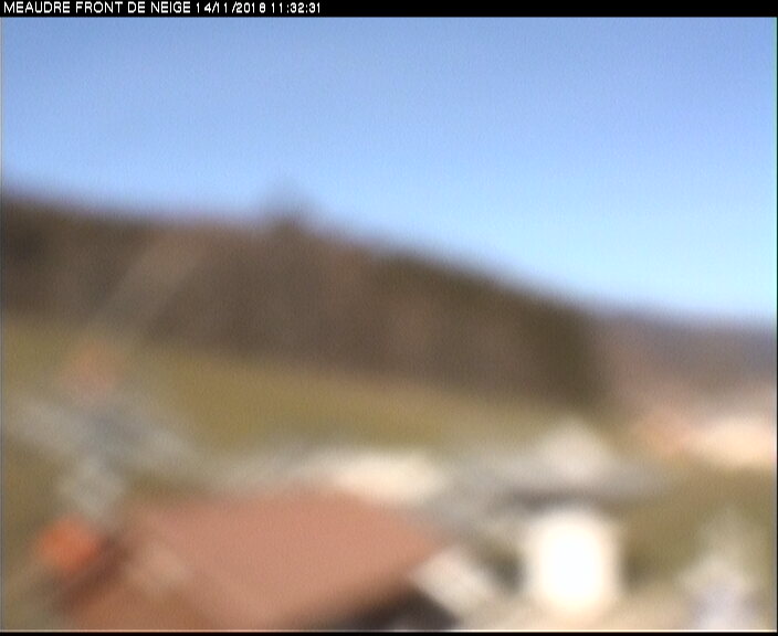
TSF du goncon
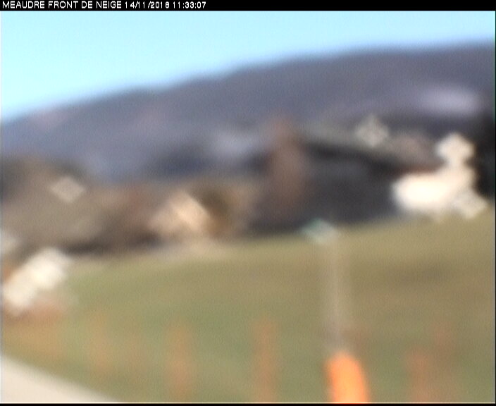
TK ECUREUIL
WEDNESDAY
Jul 2

74° / 65°

6 - 14
mph
 0
0
THURSDAY
Jul 3
64° / 59°

10 - 18
mph
0
FRIDAY
Jul 4
67° / 60°
9 - 17
mph
0
SATURDAY
Jul 5
72° / 65°
8 - 16
mph
0
SUNDAY
Jul 6

71° / 57°
6 - 14
mph
0
MONDAY
Jul 7

57° / 50°
5 - 13
mph
0
Clear becoming mostly clear in the afternoon continuing through overnight, with periods of rain expected overnight.
No snow.
Potential Precip:
0 to 0.01
Hi: 74°Low: 65°
12,448 feet to 13713 feet
Winds variable at 4 to 12 mph in the morning, becoming variable at 6 to 14 mph in the afternoon, and then variable at 9 to 17 mph overnight.
Clear becoming mostly clear in the afternoon continuing through overnight.
No snow.
Potential Precip:
0 to 0.01
Hi: 64°Low: 59°
13,341 feet to 13754 feet
Winds N at 13 to 22 mph in the morning, becoming N at 10 to 18 mph in the afternoon, and then N at 10 to 19 mph overnight.
Clear becoming mostly clear overnight continuing through overnight.
No snow.
Potential Precip:
0 to 0.01
Hi: 67°Low: 60°
13,210 feet to 13976 feet
Winds N at 13 to 22 mph in the morning, becoming variable at 9 to 17 mph in the afternoon through overnight.
Mostly clear becoming clear in the afternoon continuing through overnight.
No snow.
Potential Precip:
0 to 0.02
Hi: 72°Low: 65°
12,685 feet to 13175 feet
Winds S at 8 to 16 mph through the day, becoming variable at 6 to 14 mph overnight.
Mostly clear becoming cloudy at times continuing through overnight, with periods of rain expected at any time.
No snow.
Potential Precip:
0.44 to 2.18
Hi: 71°Low: 57°
11,817 feet to 14062 feet
Winds SW at 6 to 14 mph through the day, becoming variable at 5 to 13 mph with gusts to 21 overnight.
Cloudy becoming clear at times continuing through overnight, with periods of rain expected at any time.
No snow.
Potential Precip:
0.8 to 4
Hi: 57°Low: 50°
10,031 feet to 11553 feet
Winds variable at 5 to 13 mph through the day, becoming variable at 11 to 20 mph overnight.
 Sunrise & Sunset

Lunar Calendar


 Mid-Mountain


