 Mt Waterman Mt Baldy Mountain Hig... Snow Valley...
 Balme/Les Autannes-Vallorcine/Le Tour
  WebCams
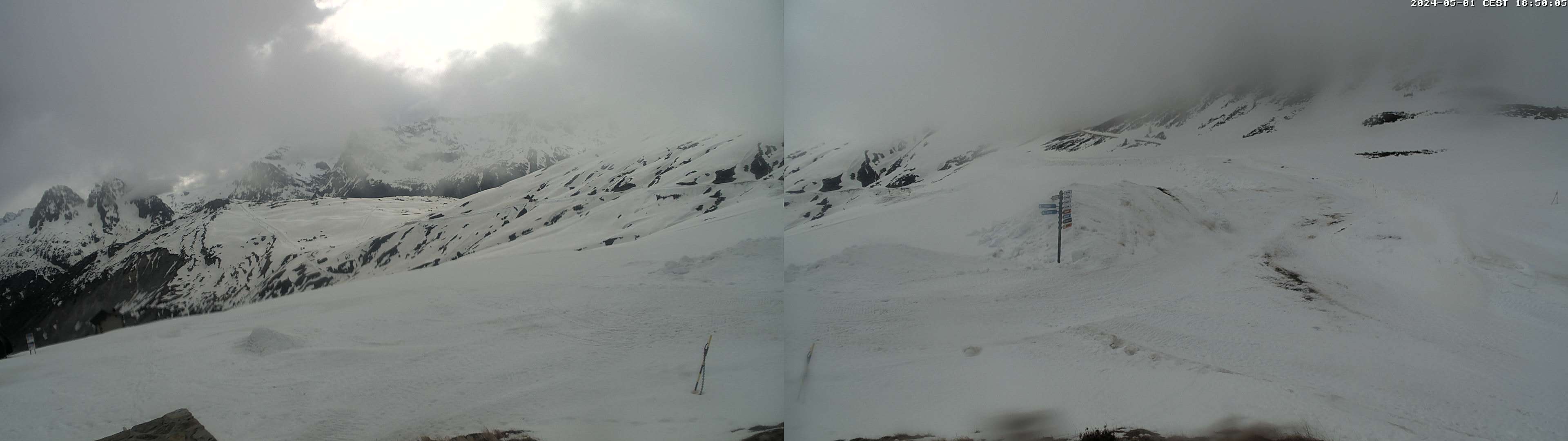
Depuis les Autannes

Caisses Balme
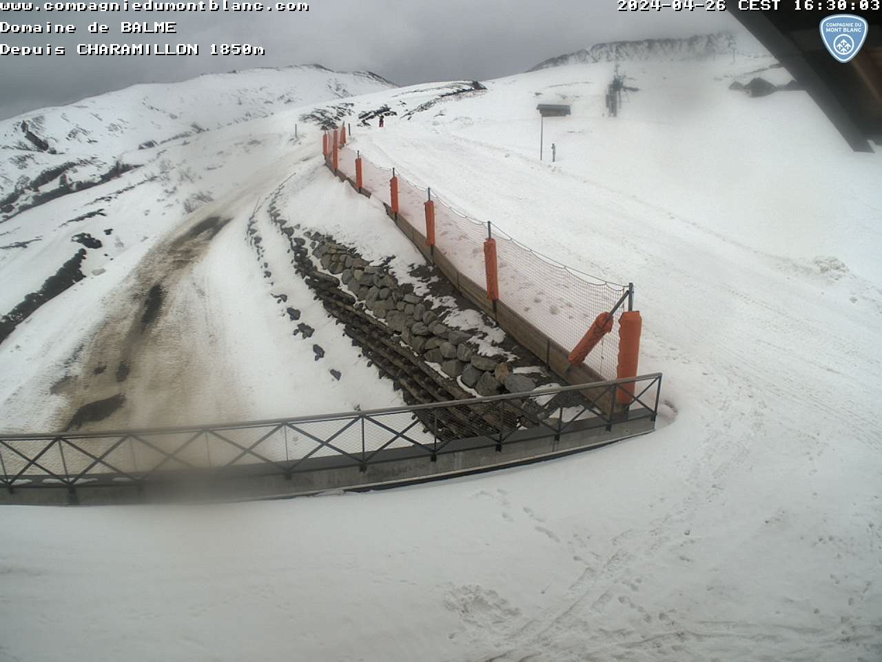
BALME Depuis Charamillon
FRIDAY
Jun 5

37° / 32°

4 - 12
mph
 0
0
SATURDAY
Jun 6

40° / 35°
5 - 12
mph
0
SUNDAY
Jun 7

38° / 34°
4 - 11
mph
0
MONDAY
Jun 8
40° / 33°
4 - 12
mph
0
TUESDAY
Jun 9

36° / 30°
4 - 12
mph
0
WEDNESDAY
Jun 10

36° / 27°
4 - 11
mph
0
THURSDAY
Jun 11
36° / 31°
6 - 14
mph
0
Clear becoming mostly clear in the afternoon continuing through overnight, with windy conditions at times.
No snow.
No precipitation expected.
Hi: 37°Low: 32°
8,759 feet to 10455 feet
Winds variable at 4 to 12 mph throughout the day and into overnight.
Mostly clear through the day and overnight.
No snow.
Potential Precip:
0 to 0.01
Hi: 40°Low: 35°
9,916 feet to 10343 feet
Winds variable at 5 to 13 mph in the morning, becoming variable at 5 to 12 mph in the afternoon, and then variable at 4 to 12 mph overnight.
Mostly clear becoming clear overnight continuing through overnight.
Scattered snow showers possible.
Potential Precip:
0 to 0.01
Hi: 38°Low: 34°
7,608 feet to 9687 feet
Winds variable at 4 to 12 mph in the morning, becoming variable at 4 to 11 mph in the afternoon, and then variable at 3 to 11 mph overnight.
Clear through the day becoming mostly clear overnight.
Periods of snow throughout the day and overnight.
Potential Precip:
0 to 0.01
Hi: 40°Low: 33°
7,048 feet to 9601 feet
Winds variable at 5 to 13 mph in the morning, becoming variable at 4 to 12 mph in the afternoon through overnight.
Mostly cloudy through the day and overnight, with periods of snow expected in the morning through overnight.
Periods of light snow throughout the day and overnight. Snowfall is forecast to be a trace amount.
Potential Precip:
0 to 0.02
Hi: 36°Low: 30°
6,225 feet to 8033 feet
Winds variable at 4 to 12 mph through the day, becoming variable at 4 to 11 mph overnight.
Partly cloudy becoming mostly clear in the afternoon and then partly cloudy overnight. Periods of snow are expected in the morning through evening.
Periods of light snow throughout the day. Snowfall is forecast to be a trace amount.
Potential Precip:
0 to 0.02
Hi: 36°Low: 27°
5,405 feet to 7532 feet
Winds variable at 4 to 11 mph through the day, becoming variable at 4 to 12 mph overnight.
Cloudy becoming partly cloudy in the late morning and then cloudy overnight. Periods of snow are expected at any time.
Periods of light snow throughout the day and overnight. Snowfall is forecast to be a trace amount.
Potential Precip:
0.01 to 0.07
Hi: 36°Low: 31°
6,105 feet to 7545 feet
Winds S at 6 to 14 mph through the day, becoming variable at 3 to 11 mph overnight.
 Sunrise & Sunset

Lunar Calendar


 Mid-Mountain


