 Mt Waterman Mountain Hig... Mt Baldy Alta Sierra...
 Bonneval sur Arc
  WebCams
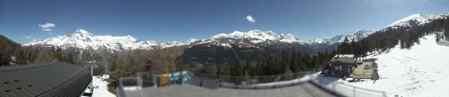
Termignon 2100m

Panoramique
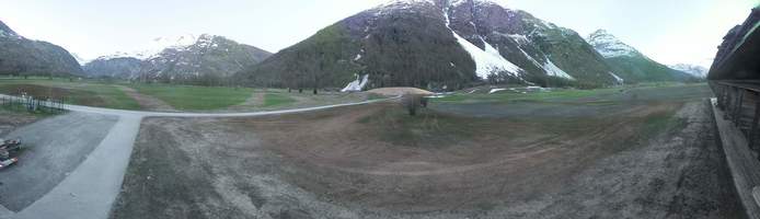
Carreley
WEDNESDAY
May 6

45° / 33°

4 - 11
mph
 0
0
THURSDAY
May 7

44° / 38°

0 - 0
mph
0
FRIDAY
May 8

44° / 36°
0 - 0
mph
0
SATURDAY
May 9
42° / 33°
5 - 12
mph
0
SUNDAY
May 10

39° / 33°
5 - 12
mph
0
MONDAY
May 11

38° / 31°
4 - 11
mph
0
TUESDAY
May 12
38° / 32°
5 - 13
mph
0
Clear becoming mostly clear in the afternoon continuing through overnight, with windy conditions at times.
No snow.
No precipitation expected.
Hi: 45°Low: 33°
6,320 feet to 10445 feet
Winds variable at 4 to 11 mph through the day, becoming variable at 4 to 12 mph overnight.
Mostly clear through the day becoming partly cloudy overnight. Periods of rain are expected in the afternoon.
No snow.
Potential Precip:
0 to 0.01
Hi: 44°Low: 38°
8,260 feet to 11464 feet
Winds variable at 5 to 13 mph in the morning, becoming calm in the afternoon, and then variable at 5 to 12 mph overnight.
Mostly clear becoming clear in the afternoon continuing through overnight.
Scattered snow showers possible.
Potential Precip:
0 to 0.01
Hi: 44°Low: 36°
8,127 feet to 10088 feet
Winds variable at 4 to 12 mph in the morning, becoming calm in the afternoon, and then variable at 4 to 12 mph overnight.
Mostly clear becoming partly cloudy at times continuing through overnight, with periods of rain and snow expected overnight.
Periods of snow throughout the day and overnight.
Potential Precip:
0 to 0.01
Hi: 42°Low: 33°
6,170 feet to 9259 feet
Winds SE at 6 to 14 mph in the morning, becoming variable at 5 to 12 mph in the afternoon, and then variable at 4 to 12 mph overnight.
Mostly cloudy becoming partly cloudy overnight continuing through overnight, with periods of snow expected in the morning through evening.
Periods of light snow throughout the day. Snowfall is forecast to be a trace amount.
Potential Precip:
0 to 0.02
Hi: 39°Low: 33°
6,284 feet to 7825 feet
Winds variable at 5 to 12 mph through the day, becoming variable at 3 to 10 mph overnight.
Mostly clear becoming partly cloudy in the afternoon and then mostly cloudy overnight. Periods of snow are expected in the evening.
Periods of light snow throughout the day. Snowfall is forecast to be a trace amount.
Potential Precip:
0 to 0.02
Hi: 38°Low: 31°
5,532 feet to 7623 feet
Winds variable at 4 to 11 mph through the day, becoming variable at 4 to 12 mph overnight.
Cloudy becoming partly cloudy in the late morning and then mostly cloudy overnight. Periods of snow are expected at any time.
Periods of light snow throughout the day and overnight. Snowfall is forecast to be a trace amount.
Potential Precip:
0.02 to 0.12
Hi: 38°Low: 32°
5,875 feet to 7432 feet
Winds variable at 5 to 13 mph through the day, becoming variable at 4 to 11 mph overnight.
 Sunrise & Sunset

Lunar Calendar


 Mid-Mountain


