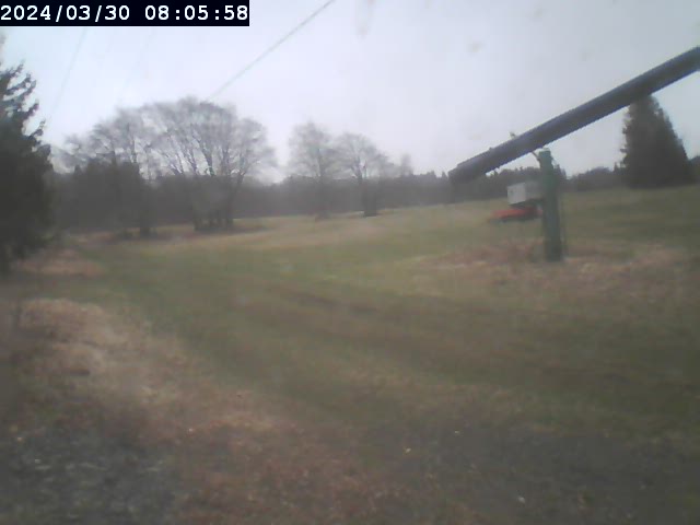
 Mt Waterman Mountain Hig... Mt Baldy Alta Sierra...
 Col d’Ornon
  WebCams
Pistes vertes du Plan du Col
Depart des pistes de ski alpin
THURSDAY
Jul 23

44° / 34°

4 - 12
mph
 0
0
FRIDAY
Jul 24

41° / 33°
5 - 12
mph
0
SATURDAY
Jul 25
40° / 31°
4 - 12
mph
0
SUNDAY
Jul 26

39° / 29°
4 - 12
mph
0
MONDAY
Jul 27
37° / 28°
5 - 12
mph
0
TUESDAY
Jul 28
41° / 33°
4 - 12
mph
0
Mostly clear through the day and overnight.
Periods of light snow during the day. Snowfall is forecast to be a trace amount during the day.
Potential Precip:
0 to 0.02
Hi: 44°Low: 34°
8,411 feet to 10208 feet
Winds variable at 4 to 12 mph throughout the day and into overnight.
Partly cloudy becoming mostly clear at times and then clear overnight.
Scattered snow showers possible.
Potential Precip:
0.01 to 0.04
Hi: 41°Low: 33°
5,050 feet to 10226 feet
Winds variable at 4 to 12 mph in the morning, becoming variable at 5 to 12 mph in the afternoon, and then variable at 4 to 12 mph overnight.
Mostly clear becoming clear in the afternoon and then partly cloudy overnight. Periods of rain and snow are expected overnight.
Periods of snow throughout the day and overnight.
Potential Precip:
0.01 to 0.05
Hi: 40°Low: 31°
9,240 feet to 12253 feet
Winds variable at 5 to 13 mph in the morning, becoming variable at 4 to 12 mph in the afternoon through overnight.
Mostly cloudy becoming partly cloudy at times continuing through overnight. Periods of rain and snow are expected overnight.
Periods of light snow throughout the day. Snowfall is forecast to be a trace amount.
Potential Precip:
0.01 to 0.06
Hi: 39°Low: 29°
6,029 feet to 10130 feet
Winds variable at 4 to 12 mph throughout the day and into overnight.
Mostly clear becoming partly cloudy at times and then mostly cloudy overnight. Periods of snow are expected in the morning through afternoon.
Periods of light snow throughout the day. Snowfall is forecast to be a trace amount.
Potential Precip:
0.01 to 0.06
Hi: 37°Low: 28°
4,039 feet to 8036 feet
Winds variable at 5 to 12 mph through the day, becoming variable at 4 to 12 mph overnight.
Partly cloudy becoming cloudy at times continuing through overnight. Periods of rain and snow are expected overnight.
Periods of light snow throughout the day and overnight. Snowfall is forecast to be a trace amount.
Potential Precip:
0.02 to 0.11
Hi: 41°Low: 33°
6,042 feet to 7967 feet
Winds variable at 4 to 12 mph throughout the day and into overnight.
 Sunrise & Sunset

Lunar Calendar


 Mid-Mountain


