 Mt Waterman Mountain Hig... Mt Baldy Alta Sierra...
 Grands Montets-Argentiere (Chamonix)
  WebCams
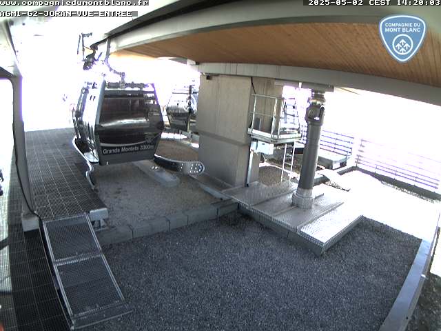
Grands Montets Escalier G1-TC
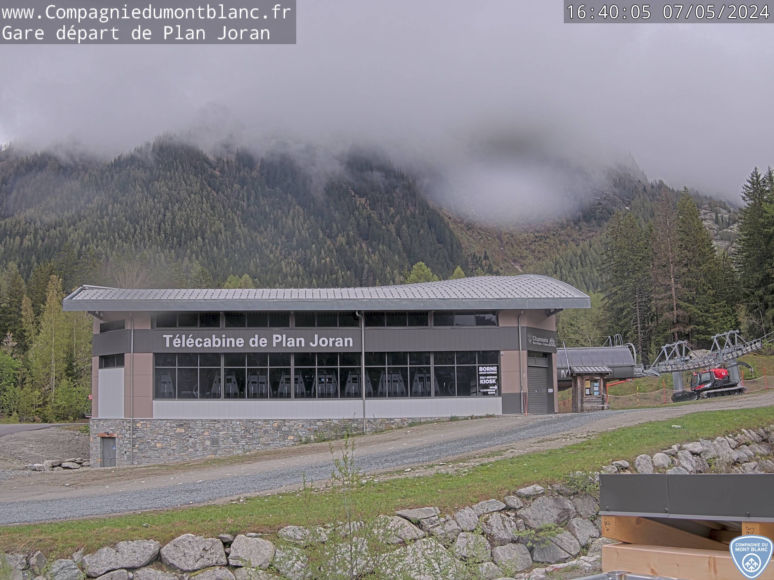
Grands Montets Retour Joran
Grands Montets Gare Lognan
THURSDAY
Jun 11

47° / 41°

5 - 12
mph
 0
0
FRIDAY
Jun 12

51° / 43°
4 - 12
mph
0
SATURDAY
Jun 13
49° / 42°
4 - 11
mph
0
SUNDAY
Jun 14
53° / 43°
4 - 12
mph
0
MONDAY
Jun 15

50° / 42°
4 - 12
mph
0
TUESDAY
Jun 16

49° / 39°

3 - 10
mph
0
WEDNESDAY
Jun 17
49° / 41°
6 - 14
mph
0
Clear becoming mostly clear in the afternoon continuing through overnight, with windy conditions at times.
No snow.
No precipitation expected.
Hi: 47°Low: 41°
8,759 feet to 10455 feet
Winds variable at 5 to 12 mph through the day, becoming variable at 5 to 13 mph overnight.
Mostly clear through the day and overnight.
No snow.
Potential Precip:
0 to 0.01
Hi: 51°Low: 43°
9,916 feet to 10343 feet
Winds S at 6 to 14 mph in the morning, becoming variable at 4 to 12 mph in the afternoon, and then variable at 5 to 13 mph overnight.
Mostly clear becoming clear overnight continuing through overnight.
No snow.
Potential Precip:
0 to 0.01
Hi: 49°Low: 42°
7,608 feet to 9687 feet
Winds variable at 5 to 13 mph in the morning, becoming variable at 4 to 11 mph in the afternoon, and then variable at 4 to 12 mph overnight.
Clear through the day becoming mostly clear overnight.
No snow.
Potential Precip:
0 to 0.01
Hi: 53°Low: 43°
7,048 feet to 9601 feet
Winds S at 6 to 14 mph in the morning, becoming variable at 4 to 12 mph in the afternoon through overnight.
Mostly cloudy through the day and overnight, with periods of rain expected in the morning through overnight.
No snow.
Potential Precip:
0 to 0.02
Hi: 50°Low: 42°
6,225 feet to 8033 feet
Winds variable at 4 to 12 mph through the day, becoming variable at 4 to 11 mph overnight.
Partly cloudy becoming mostly clear in the afternoon and then partly cloudy overnight. Periods of rain are expected in the morning through evening.
No snow.
Potential Precip:
0 to 0.02
Hi: 49°Low: 39°
5,405 feet to 7532 feet
Winds variable at 3 to 10 mph through the day, becoming variable at 4 to 12 mph overnight.
Cloudy becoming partly cloudy in the late morning and then cloudy overnight. Periods of rain are expected at any time.
No snow.
Potential Precip:
0.01 to 0.07
Hi: 49°Low: 41°
6,105 feet to 7545 feet
Winds SE at 6 to 14 mph through the day, becoming variable at 4 to 12 mph overnight.
 Sunrise & Sunset

Lunar Calendar


 Mid-Mountain


