 Mt Waterman Mountain Hig... Mt Baldy Alta Sierra...
 La Croix de Bauzon
  WebCams
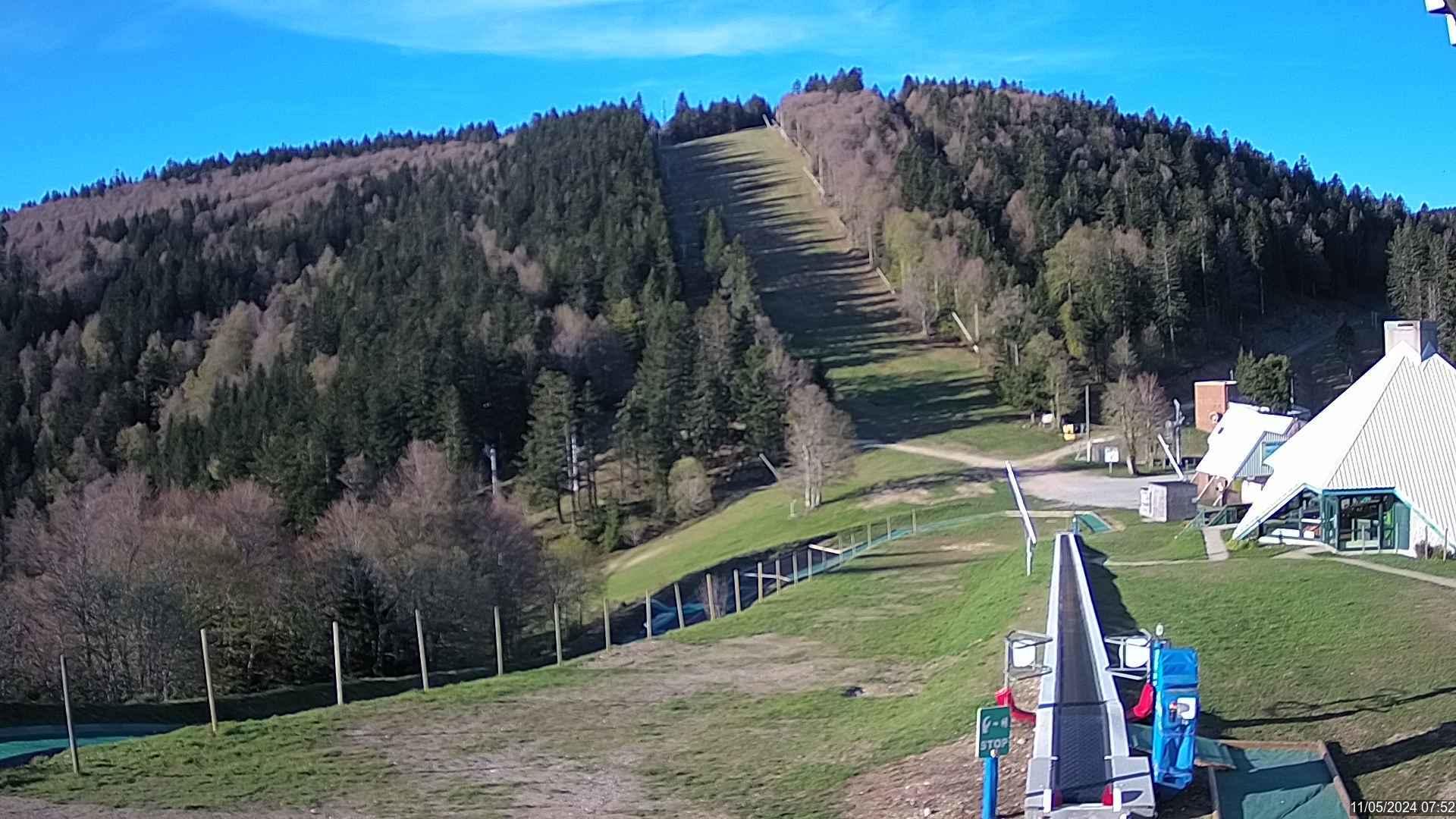
Webcam de la Station de la Croix de Bauzon
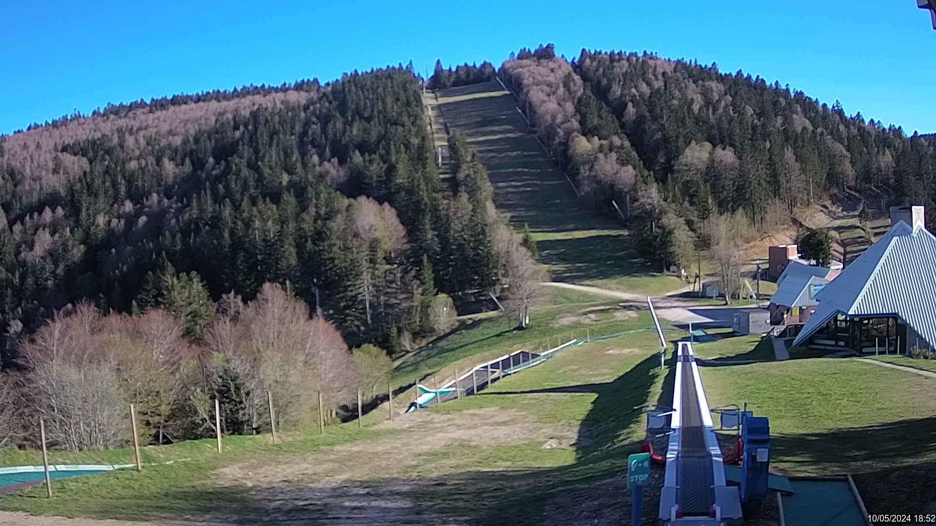
Webcam de la Station de la Croix de Bauzon
SATURDAY
Jul 25
54° / 48°

6 - 14
mph
 0
0
SUNDAY
Jul 26

46° / 41°

10 - 18
mph
0
MONDAY
Jul 27
46° / 42°
4 - 11
mph
0
TUESDAY
Jul 28
44° / 39°
10 - 19
mph
0
WEDNESDAY
Jul 29

39° / 36°
11 - 20
mph
0
THURSDAY
Jul 30

40° / 36°
4 - 12
mph
0
FRIDAY
Jul 31
40° / 36°

15 - 26
mph
0
Clear becoming partly cloudy in the afternoon continuing through overnight, with windy conditions at times.
No snow.
No precipitation expected.
Hi: 54°Low: 48°
10,056 feet to 10360 feet
Winds S at 10 to 19 mph in the morning, becoming variable at 6 to 14 mph in the afternoon, and then variable at 4 to 12 mph overnight.
Mostly clear through the day and overnight, with windy conditions at times.
No snow.
No precipitation expected.
Hi: 46°Low: 41°
10,028 feet to 10269 feet
Winds S at 8 to 16 mph in the morning, becoming S at 10 to 18 mph in the afternoon, and then S at 10 to 19 mph overnight.
Mostly clear becoming clear overnight continuing through overnight, with windy conditions at times.
No snow.
No precipitation expected.
Hi: 46°Low: 42°
9,811 feet to 10172 feet
Winds S at 7 to 15 mph in the morning, becoming variable at 4 to 11 mph in the afternoon, and then variable at 5 to 12 mph overnight.
Mostly clear becoming partly cloudy at times continuing through overnight, with windy conditions at times.
No snow.
No precipitation expected.
Hi: 44°Low: 39°
9,036 feet to 9744 feet
Winds S at 7 to 15 mph in the morning, becoming S at 10 to 19 mph in the afternoon, and then S at 12 to 21 mph overnight.
Partly cloudy becoming cloudy in the late morning and then mostly cloudy overnight. Periods of snow are expected in the afternoon.
Periods of light snow throughout the day. Snowfall is forecast to be a trace amount.
Potential Precip:
0 to 0.01
Hi: 39°Low: 36°
5,816 feet to 8576 feet
Winds S at 11 to 20 mph through the day, becoming variable at 5 to 13 mph overnight.
Mostly cloudy becoming clear at times and then partly cloudy overnight. Periods of snow are expected in the morning.
Periods of snow throughout the day and overnight.
Potential Precip:
0 to 0.02
Hi: 40°Low: 36°
5,567 feet to 6718 feet
Winds variable at 4 to 12 mph through the day, becoming SE at 11 to 20 mph with gusts to 27 overnight.
Mostly cloudy becoming partly cloudy overnight continuing through overnight, with periods of rain and snow expected overnight.
Periods of light snow throughout the day. Snowfall is forecast to be a trace amount.
Potential Precip:
0.02 to 0.1
Hi: 40°Low: 36°
5,751 feet to 7021 feet
Winds S at 15 to 26 mph through the day, becoming S at 12 to 21 mph overnight.
 Sunrise & Sunset

Lunar Calendar


 Mid-Mountain


