 Mt Waterman Mountain Hig... Mt Baldy Alta Sierra...
 La Jarjatte-Lus-la-Croix-Haute
  WebCams
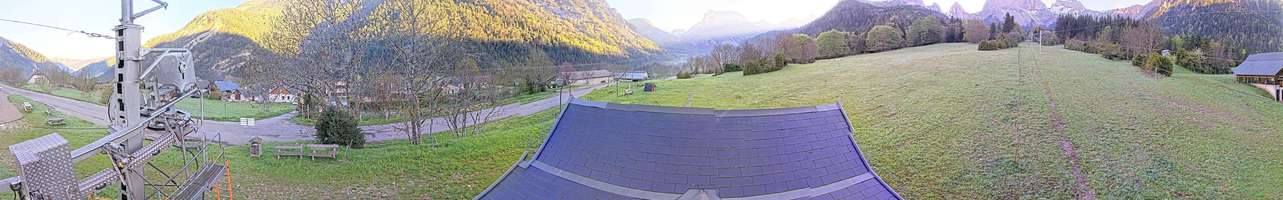
Webcam Lus la Jarjatte
SUNDAY
Jul 19

52° / 42°

4 - 12
mph
 0
0
MONDAY
Jul 20
50° / 42°
5 - 12
mph
0
TUESDAY
Jul 21

50° / 41°
4 - 11
mph
0
WEDNESDAY
Jul 22
49° / 39°
4 - 12
mph
0
THURSDAY
Jul 23
46° / 39°
4 - 12
mph
0
FRIDAY
Jul 24

46° / 37°
5 - 12
mph
0
SATURDAY
Jul 25

47° / 40°
4 - 12
mph
0
Clear becoming mostly clear in the afternoon and then partly cloudy overnight.
No snow.
Potential Precip:
0 to 0.01
Hi: 52°Low: 42°
10,387 feet to 10994 feet
Winds S at 7 to 15 mph in the morning, becoming variable at 4 to 12 mph in the afternoon, and then variable at 5 to 13 mph overnight.
Partly cloudy becoming mostly clear in the afternoon continuing through overnight, with periods of rain expected in the morning through afternoon.
No snow.
Potential Precip:
0 to 0.01
Hi: 50°Low: 42°
9,769 feet to 10180 feet
Winds variable at 4 to 12 mph in the morning, becoming variable at 5 to 12 mph in the afternoon, and then variable at 4 to 12 mph overnight.
Mostly clear becoming clear in the afternoon continuing through overnight.
No snow.
Potential Precip:
0 to 0.02
Hi: 50°Low: 41°
9,625 feet to 10369 feet
Winds variable at 5 to 12 mph in the morning, becoming variable at 4 to 11 mph in the afternoon, and then variable at 3 to 11 mph overnight.
Mostly clear becoming clear in the late morning and then partly cloudy overnight.
No snow.
Potential Precip:
0 to 0.02
Hi: 49°Low: 39°
8,364 feet to 9971 feet
Winds variable at 5 to 13 mph in the morning, becoming variable at 4 to 12 mph in the afternoon, and then variable at 5 to 13 mph overnight.
Mostly cloudy through the day becoming mostly clear overnight. Periods of rain are expected in the morning through afternoon.
No snow.
Potential Precip:
0.01 to 0.03
Hi: 46°Low: 39°
6,586 feet to 8287 feet
Winds variable at 4 to 12 mph throughout the day and into overnight.
Clear becoming mostly cloudy in the evening continuing through overnight, with periods of rain and snow expected overnight.
Periods of light snow throughout the day. Snowfall is forecast to be a trace amount.
Potential Precip:
0.01 to 0.04
Hi: 46°Low: 37°
6,863 feet to 7394 feet
Winds variable at 5 to 12 mph through the day, becoming variable at 4 to 12 mph overnight.
Partly cloudy becoming cloudy at times and then mostly cloudy overnight. Periods of rain are expected in the morning through evening.
No snow.
Potential Precip:
0.02 to 0.09
Hi: 47°Low: 40°
7,040 feet to 7632 feet
Winds variable at 4 to 12 mph through the day, becoming variable at 5 to 13 mph overnight.
 Sunrise & Sunset

Lunar Calendar


 Mid-Mountain


