 Mt Waterman Mt Baldy Mountain Hig... Snow Valley...
 La Poya-Vallorcine
  WebCams
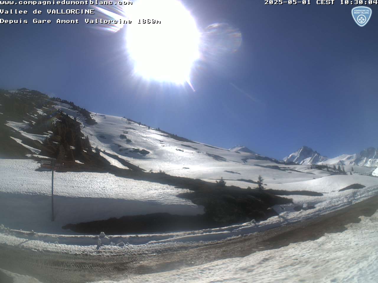
Webcam situee a la gare d'arrivee de la telecabine de Vallorcine 1850 m
SATURDAY
Jul 11

44° / 38°

5 - 12
mph
 0
0
SUNDAY
Jul 12

47° / 40°
4 - 12
mph
0
MONDAY
Jul 13
46° / 39°
4 - 11
mph
0
TUESDAY
Jul 14
49° / 39°
4 - 12
mph
0
WEDNESDAY
Jul 15

46° / 39°
4 - 12
mph
0
THURSDAY
Jul 16

46° / 36°

3 - 10
mph
0
FRIDAY
Jul 17

45° / 38°
6 - 14
mph
0
Clear becoming mostly clear in the afternoon continuing through overnight, with windy conditions at times.
No snow.
No precipitation expected.
Hi: 44°Low: 38°
8,759 feet to 10455 feet
Winds variable at 5 to 12 mph through the day, becoming variable at 5 to 13 mph overnight.
Mostly clear through the day and overnight.
No snow.
Potential Precip:
0 to 0.01
Hi: 47°Low: 40°
9,916 feet to 10343 feet
Winds S at 6 to 14 mph in the morning, becoming variable at 4 to 12 mph in the afternoon, and then variable at 5 to 13 mph overnight.
Mostly clear becoming clear overnight continuing through overnight.
No snow.
Potential Precip:
0 to 0.01
Hi: 46°Low: 39°
7,608 feet to 9687 feet
Winds variable at 5 to 13 mph in the morning, becoming variable at 4 to 11 mph in the afternoon, and then variable at 4 to 12 mph overnight.
Clear through the day becoming mostly clear overnight.
No snow.
Potential Precip:
0 to 0.01
Hi: 49°Low: 39°
7,048 feet to 9601 feet
Winds S at 6 to 14 mph in the morning, becoming variable at 4 to 12 mph in the afternoon through overnight.
Mostly cloudy through the day and overnight, with periods of rain expected in the morning through overnight.
No snow.
Potential Precip:
0 to 0.02
Hi: 46°Low: 39°
6,225 feet to 8033 feet
Winds variable at 4 to 12 mph through the day, becoming variable at 4 to 11 mph overnight.
Partly cloudy becoming mostly clear in the afternoon and then partly cloudy overnight. Periods of rain and snow are expected overnight.
Periods of light snow throughout the day. Snowfall is forecast to be a trace amount.
Potential Precip:
0 to 0.02
Hi: 46°Low: 36°
5,405 feet to 7532 feet
Winds variable at 3 to 10 mph through the day, becoming variable at 4 to 12 mph overnight.
Cloudy becoming partly cloudy in the late morning and then cloudy overnight. Periods of rain and snow are expected overnight.
Periods of light snow throughout the day. Snowfall is forecast to be a trace amount.
Potential Precip:
0.01 to 0.07
Hi: 45°Low: 38°
6,105 feet to 7545 feet
Winds SE at 6 to 14 mph through the day, becoming variable at 4 to 12 mph overnight.
 Sunrise & Sunset

Lunar Calendar


 Mid-Mountain


