
 Mt Waterman
 Mountain Hig... Mt Baldy
 Alta Sierra...
 Le Larmont
 WebCams
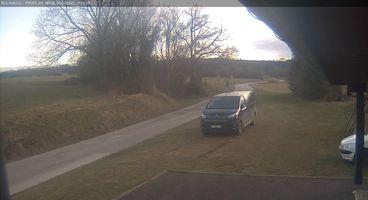
Bolandoz Front-de-Neige
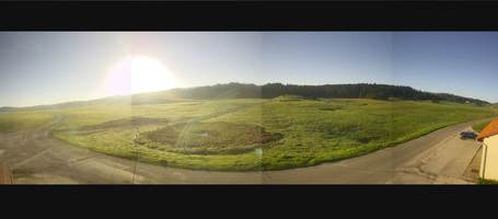
Bellecombe-Bouleme

La Joux
THURSDAY
Nov 12

53° / 36°

4 - 12
mph
 0
FRIDAY
Nov 13

39° / 30°

10 - 19
mph
0
SATURDAY
Nov 14
47° / 30°
5 - 12
mph
0
SUNDAY
Nov 15

51° / 43°
8 - 16
mph
0
MONDAY
Nov 16
47° / 41°
11 - 20
mph
0
TUESDAY
Nov 17

52° / 38°
6 - 14
mph
0
WEDNESDAY
Nov 18
49° / 45°

13 - 22
mph
0
Cloudy becoming mostly cloudy at times continuing through overnight, with periods of rain and snow expected overnight.
Light snow overnight. Snowfall is forecast to be a trace amount overnight.
Potential Precip:
0.19 to 0.96
Hi: 53°Low: 36°
4,999 feet to 9121 feet
Winds variable at 4 to 11 mph in the morning, becoming variable at 4 to 12 mph in the afternoon, and then NE at 9 to 17 mph overnight.
Partly cloudy becoming clear in the afternoon continuing through overnight.
No snow.
No precipitation expected.
Hi: 39°Low: 30°
2,392 feet to 9451 feet
Winds NE at 10 to 18 mph in the morning, becoming NE at 10 to 19 mph in the afternoon, and then E at 6 to 14 mph overnight.
Clear becoming mostly cloudy overnight continuing through overnight, with periods of rain expected overnight.
No snow.
Potential Precip:
0 to 0.01
Hi: 47°Low: 30°
7,291 feet to 10490 feet
Winds variable at 4 to 12 mph in the morning, becoming variable at 5 to 12 mph in the afternoon, and then variable at 4 to 12 mph overnight.
Cloudy through the day and overnight, with periods of rain expected in the morning through overnight.
No snow.
Potential Precip:
0.17 to 0.87
Hi: 51°Low: 43°
6,676 feet to 8157 feet
Winds S at 6 to 14 mph in the morning, becoming S at 8 to 16 mph in the afternoon through overnight.
Cloudy becoming partly cloudy at times continuing through overnight, with periods of rain expected at any time.
No snow.
Potential Precip:
0.39 to 1.97
Hi: 47°Low: 41°
4,986 feet to 6492 feet
Winds SW at 11 to 20 mph through the day, becoming SW at 10 to 19 mph overnight.
Mostly clear becoming cloudy at times and then mostly cloudy overnight. Periods of rain and snow are expected overnight.
Periods of light snow throughout the day. Snowfall is forecast to be a trace amount.
Potential Precip:
0.2 to 1.02
Hi: 52°Low: 38°
6,337 feet to 10440 feet
Winds S at 6 to 14 mph through the day, becoming SW at 12 to 23 mph overnight.
Cloudy through the day and overnight, with periods of rain expected in the morning through overnight.
No snow.
Potential Precip:
0.2 to 1
Hi: 49°Low: 45°
6,263 feet to 8162 feet
Winds SW at 13 to 22 mph throughout the day and into overnight.
 Sunrise & Sunset

Lunar Calendar


 Favorite & Share
 Info for the hard-working snowmaking crew
 Location Info


 Mid-Mountain


