 Mt Waterman Mountain Hig... Mt Baldy Alta Sierra...
 Les Angles
  WebCams

Webcam panoramique snowpark
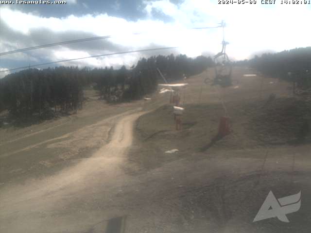
JESSETTES
BAS DE STATION
FRIDAY
Jul 24
42° / 39°

8 - 16
mph
 0
0
SATURDAY
Jul 25

41° / 39°
5 - 12
mph
0
SUNDAY
Jul 26
41° / 37°
6 - 14
mph
0
MONDAY
Jul 27

35° / 27°
7 - 15
mph
1
TUESDAY
Jul 28
34° / 29°
6 - 14
mph
1
WEDNESDAY
Jul 29

34° / 32°

13 - 22
mph
0
Clear becoming partly cloudy in the afternoon continuing through overnight. Expect windy conditions at times.
No snow.
No precipitation expected.
Hi: 42°Low: 39°
9,472 feet to 10601 feet
Winds variable at 5 to 13 mph in the morning, becoming SW at 8 to 16 mph in the afternoon, and then variable at 5 to 13 mph overnight.
Partly cloudy becoming clear in the afternoon continuing through overnight. Expect windy conditions at times.
No snow.
No precipitation expected.
Hi: 41°Low: 39°
9,210 feet to 9932 feet
Winds variable at 5 to 12 mph throughout the day and into overnight.
Clear becoming mostly clear in the late morning and then partly cloudy overnight. Expect windy conditions at times.
No snow.
No precipitation expected.
Hi: 41°Low: 37°
8,909 feet to 10126 feet
Winds variable at 5 to 13 mph in the morning, becoming SW at 6 to 14 mph in the afternoon, and then SW at 7 to 15 mph overnight.
Mostly cloudy becoming partly cloudy at times continuing through overnight. Periods of snow are expected in the afternoon through overnight.
Periods of light snow throughout the day and overnight. Snowfall is forecast to be 1 to 2 inches.
Potential Precip:
0.03 to 0.13
Hi: 35°Low: 27°
6,015 feet to 8539 feet
Winds S at 7 to 15 mph through the day, becoming SW at 6 to 14 mph overnight.
Partly cloudy through the day and overnight, with periods of snow expected in the morning through evening.
Periods of light to moderate snow throughout the day. Snowfall is forecast to be 1 to 2 inches.
Potential Precip:
0.03 to 0.14
Hi: 34°Low: 29°
6,072 feet to 7804 feet
Winds SW at 6 to 14 mph through the day, becoming SW at 9 to 18 mph overnight.
Mostly cloudy becoming partly cloudy in the evening continuing through overnight, with periods of snow expected in the morning through evening.
Periods of light snow throughout the day. Snowfall is forecast to be a trace amount.
Potential Precip:
0.03 to 0.15
Hi: 34°Low: 32°
7,326 feet to 8017 feet
Winds S at 13 to 22 mph through the day, becoming S at 7 to 15 mph overnight.
 Sunrise & Sunset

Lunar Calendar


 Mid-Mountain


