 Mt Waterman Mountain Hig... Mt Baldy Alta Sierra...
 Pont d’Espagne-Cauterets
  WebCams
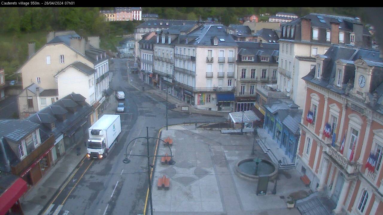
Place de la mairie - 935m.

Telesiege des Cretes - Cirque du Lys - 2400m.
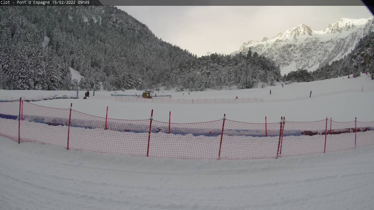
Plateau du Clot - Pont d'Espagne - 1550m.
SATURDAY
Jun 20
52° / 47°

5 - 13
mph
 0
0
SUNDAY
Jun 21
52° / 44°
5 - 13
mph
0
MONDAY
Jun 22

52° / 44°
4 - 12
mph
0
TUESDAY
Jun 23

53° / 38°
4 - 12
mph
0
WEDNESDAY
Jun 24

35° / 29°
5 - 13
mph
5
THURSDAY
Jun 25

43° / 31°
4 - 12
mph
4
FRIDAY
Jun 26
45° / 38°
8 - 16
mph
0
Clear becoming mostly clear at times and then partly cloudy overnight. Expect windy conditions at times.
No snow.
No precipitation expected.
Hi: 52°Low: 47°
10,488 feet to 10841 feet
Winds variable at 4 to 12 mph in the morning, becoming variable at 5 to 13 mph in the afternoon, and then variable at 4 to 12 mph overnight.
Partly cloudy becoming mostly clear in the afternoon continuing through overnight, with windy conditions at times.
No snow.
No precipitation expected.
Hi: 52°Low: 44°
9,211 feet to 10185 feet
Winds variable at 5 to 12 mph in the morning, becoming variable at 5 to 13 mph in the afternoon through overnight.
Mostly clear becoming clear in the afternoon continuing through overnight, with windy conditions at times.
No snow.
No precipitation expected.
Hi: 52°Low: 44°
9,077 feet to 9834 feet
Winds variable at 4 to 12 mph through the day, becoming variable at 5 to 12 mph overnight.
Clear becoming cloudy at times continuing through overnight.
No snow.
Potential Precip:
0 to 0.01
Hi: 53°Low: 38°
8,451 feet to 9622 feet
Winds variable at 4 to 12 mph through the day, becoming variable at 3 to 11 mph overnight.
Mostly cloudy becoming cloudy in the afternoon and then partly cloudy overnight. Periods of snow are expected in the morning through evening.
Periods of moderate to heavy snow throughout the day. Snowfall is forecast to be 4 to 7 inches.
Potential Precip:
0.22 to 1.09
Hi: 35°Low: 29°
3,935 feet to 6102 feet
Winds variable at 5 to 13 mph through the day, becoming variable at 5 to 12 mph overnight.
Clear becoming partly cloudy at times continuing through overnight.
Periods of snow throughout the day and overnight.
Potential Precip:
0.22 to 1.09
Hi: 43°Low: 31°
4,554 feet to 8279 feet
Winds variable at 4 to 12 mph through the day, becoming S at 7 to 15 mph overnight.
Mostly clear becoming partly cloudy in the late morning continuing through overnight. Periods of rain are expected at any time.
No snow.
Potential Precip:
0.26 to 1.3
Hi: 45°Low: 38°
7,257 feet to 7996 feet
Winds S at 8 to 16 mph through the day, becoming variable at 5 to 12 mph overnight.
 Sunrise & Sunset

Lunar Calendar


 Mid-Mountain


