 Mt Waterman Mountain Hig... Mt Baldy Alta Sierra...
 Reallon
  WebCams
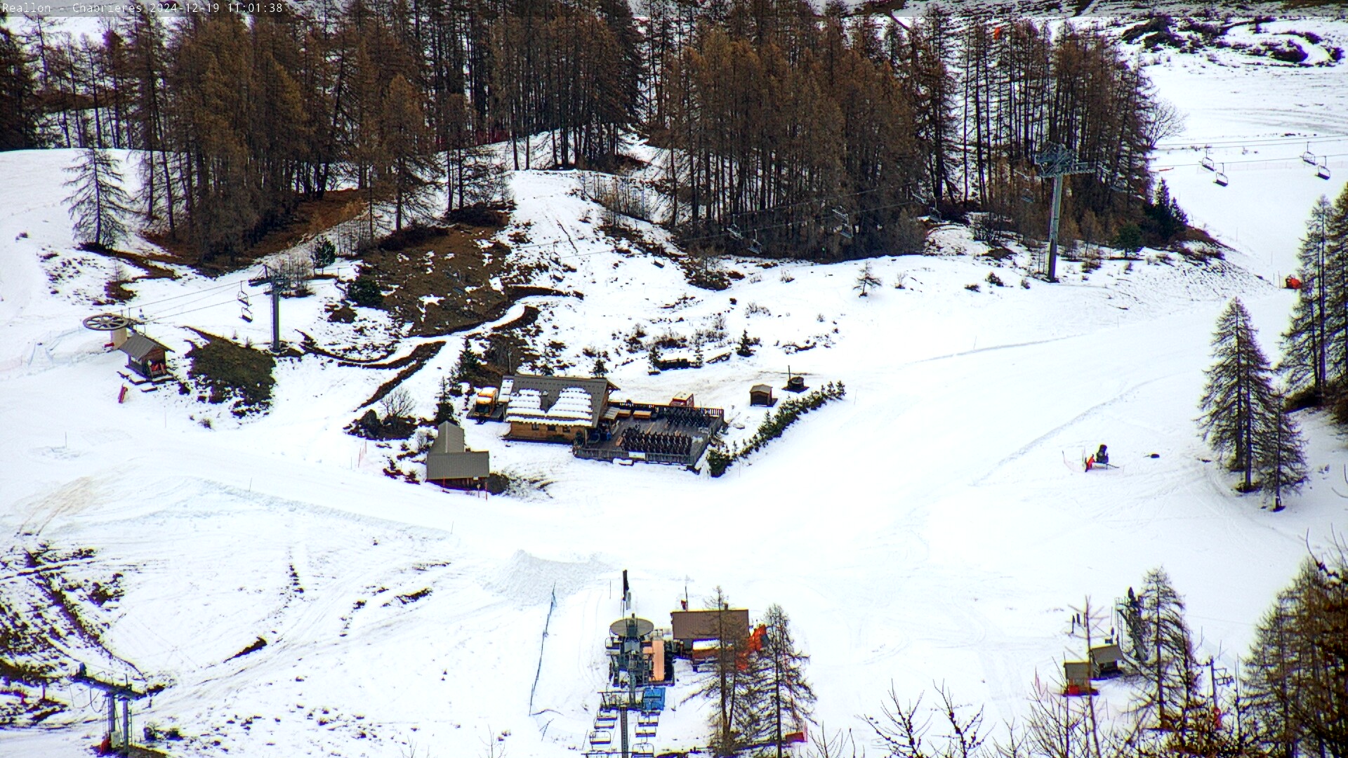
Les Aiguilles de Chabrieres
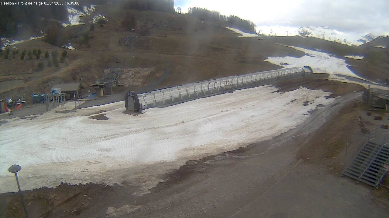
Front de Neige

Arrivee du telesiege de Chabrieres
FRIDAY
Jun 26

46° / 34°

0 - 0
mph
 0
0
SATURDAY
Jun 27

45° / 33°

4 - 11
mph
0
SUNDAY
Jun 28
44° / 32°
0 - 0
mph
0
MONDAY
Jun 29
43° / 31°
5 - 12
mph
0
TUESDAY
Jun 30
42° / 31°
5 - 12
mph
0
WEDNESDAY
Jul 1

45° / 33°
4 - 12
mph
0
Mostly clear becoming partly cloudy at times and then mostly clear overnight.
Periods of light snow during the day. Snowfall is forecast to be a trace amount during the day.
Potential Precip:
0 to 0.02
Hi: 46°Low: 34°
9,857 feet to 10099 feet
Winds E at 6 to 14 mph in the morning, becoming calm in the afternoon, and then variable at 5 to 12 mph overnight.
Mostly clear through the day and overnight.
Scattered snow showers possible.
Potential Precip:
0.01 to 0.04
Hi: 45°Low: 33°
5,563 feet to 10376 feet
Winds variable at 5 to 13 mph in the morning, becoming variable at 4 to 11 mph in the afternoon, and then variable at 4 to 12 mph overnight.
Mostly clear becoming clear in the afternoon and then mostly clear overnight. Periods of rain and snow are expected overnight.
Periods of snow throughout the day and overnight.
Potential Precip:
0.01 to 0.05
Hi: 44°Low: 32°
4,811 feet to 11536 feet
Winds E at 6 to 14 mph in the morning, becoming calm in the afternoon, and then variable at 4 to 12 mph overnight.
Mostly cloudy becoming mostly clear overnight continuing through overnight.
Periods of light snow throughout the day. Snowfall is forecast to be a trace amount.
Potential Precip:
0.01 to 0.06
Hi: 43°Low: 31°
6,072 feet to 8231 feet
Winds variable at 5 to 12 mph throughout the day and into overnight.
Partly cloudy becoming mostly cloudy in the evening continuing through overnight, with periods of rain and snow expected overnight.
Periods of light snow throughout the day. Snowfall is forecast to be a trace amount.
Potential Precip:
0.01 to 0.06
Hi: 42°Low: 31°
6,725 feet to 7431 feet
Winds variable at 5 to 12 mph throughout the day and into overnight.
Partly cloudy through the day and overnight, with periods of rain and snow expected overnight.
Periods of light snow throughout the day. Snowfall is forecast to be a trace amount.
Potential Precip:
0.02 to 0.1
Hi: 45°Low: 33°
4,929 feet to 7767 feet
Winds variable at 4 to 12 mph throughout the day and into overnight.
 Sunrise & Sunset

Lunar Calendar


 Mid-Mountain


