 Mt Waterman Mountain Hig... Mt Baldy Alta Sierra...
 Roubion les Buisses
  WebCams
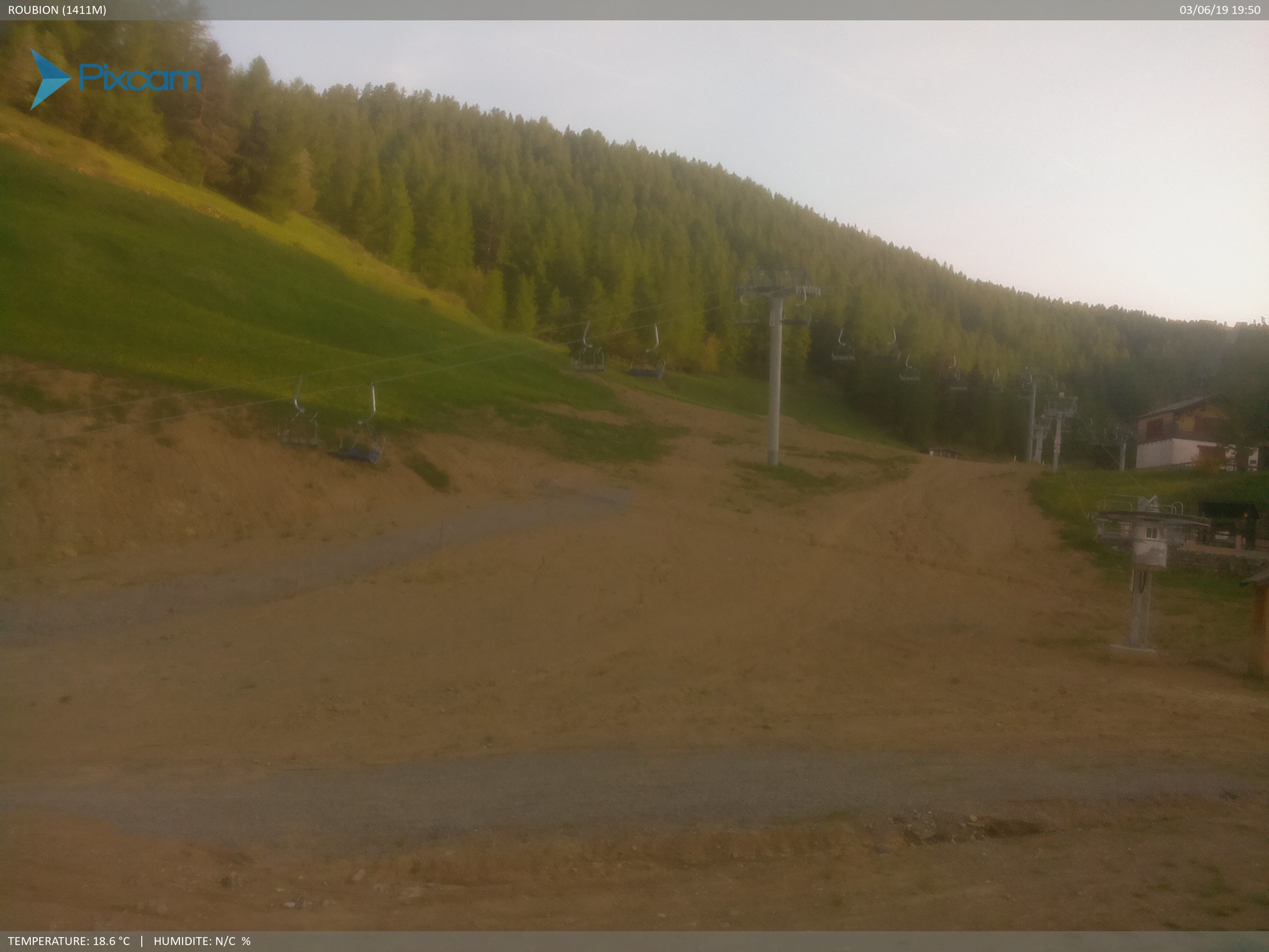
Roubion 1724m
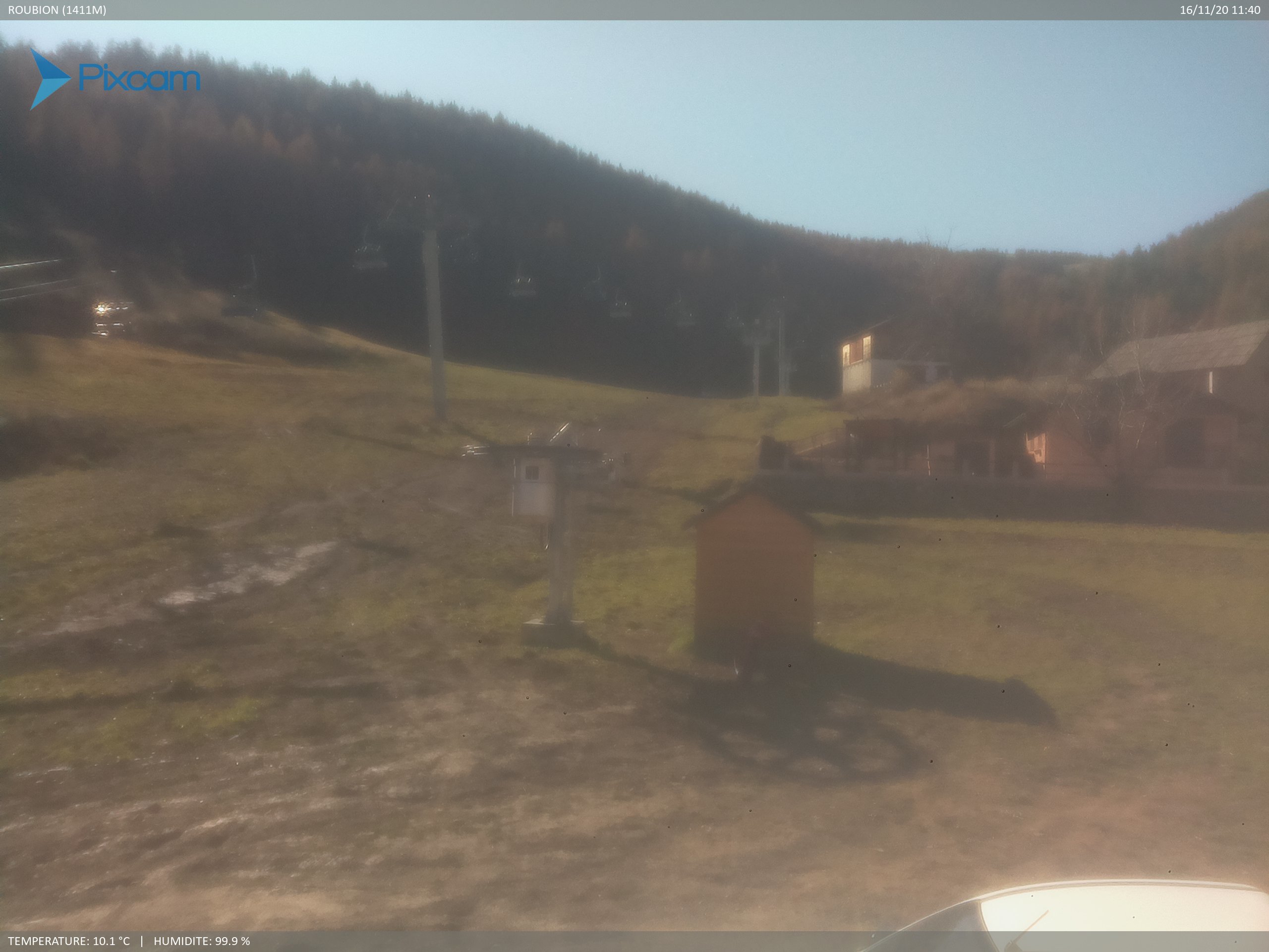
Front de neige Buisses
SUNDAY
Jul 26

47° / 42°

4 - 11
mph
 0
0
MONDAY
Jul 27

49° / 42°
4 - 11
mph
0
TUESDAY
Jul 28
47° / 41°
4 - 11
mph
0
WEDNESDAY
Jul 29

46° / 40°
4 - 11
mph
0
THURSDAY
Jul 30
45° / 39°
4 - 11
mph
0
FRIDAY
Jul 31
44° / 39°
4 - 12
mph
0
Partly cloudy becoming mostly clear in the late morning and then partly cloudy overnight. Periods of rain are expected in the morning through evening.
No snow.
Potential Precip:
0 to 0.01
Hi: 47°Low: 42°
9,955 feet to 10108 feet
Winds variable at 5 to 12 mph in the morning, becoming variable at 4 to 11 mph in the afternoon through overnight.
Mostly clear becoming clear in the afternoon continuing through overnight.
No snow.
Potential Precip:
0 to 0.01
Hi: 49°Low: 42°
10,133 feet to 10408 feet
Winds variable at 5 to 12 mph in the morning, becoming variable at 4 to 11 mph in the afternoon through overnight.
Clear becoming partly cloudy overnight continuing through overnight.
No snow.
Potential Precip:
0 to 0.01
Hi: 47°Low: 41°
8,368 feet to 10079 feet
Winds calm in the morning, becoming variable at 4 to 11 mph in the afternoon, and then variable at 5 to 12 mph overnight.
Mostly cloudy becoming partly cloudy in the late morning continuing through overnight, with periods of rain expected in the morning through evening.
No snow.
Potential Precip:
0 to 0.02
Hi: 46°Low: 40°
6,657 feet to 7990 feet
Winds variable at 4 to 11 mph throughout the day and into overnight.
Mostly clear becoming partly cloudy in the late morning continuing through overnight, with periods of rain expected in the morning through evening.
No snow.
Potential Precip:
0 to 0.02
Hi: 45°Low: 39°
6,670 feet to 7301 feet
Winds variable at 4 to 11 mph through the day, becoming variable at 3 to 11 mph overnight.
Partly cloudy becoming cloudy at times and then partly cloudy overnight. Periods of rain are expected in the morning.
No snow.
Potential Precip:
0 to 0.02
Hi: 44°Low: 39°
7,135 feet to 7517 feet
Winds variable at 4 to 12 mph throughout the day and into overnight.
 Sunrise & Sunset

Lunar Calendar


 Mid-Mountain


