 Mt Waterman Mountain Hig... Mt Baldy Alta Sierra...
 Schnepfenried
  WebCams
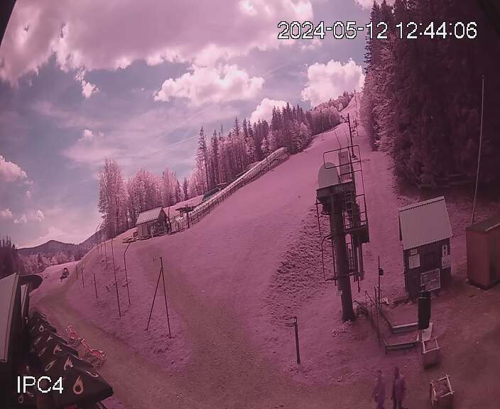
Webcam du Schnepfenried
THURSDAY
Jul 30

54° / 47°

5 - 12
mph
 0
0
FRIDAY
Jul 31

58° / 46°
5 - 12
mph
0
SATURDAY
Aug 1
60° / 48°
5 - 12
mph
0
SUNDAY
Aug 2
61° / 49°
5 - 12
mph
0
MONDAY
Aug 3
54° / 45°
4 - 12
mph
0
TUESDAY
Aug 4
48° / 42°
4 - 12
mph
0
WEDNESDAY
Aug 5

55° / 42°
4 - 11
mph
0
Clear through the day and overnight, with periods of rain expected in the morning through afternoon.
No snow.
Potential Precip:
0.07 to 0.35
Hi: 54°Low: 47°
7,695 feet to 10064 feet
Winds variable at 5 to 13 mph in the morning, becoming variable at 5 to 12 mph in the afternoon through overnight.
Clear becoming partly cloudy overnight continuing through overnight.
No snow.
Potential Precip:
0.07 to 0.35
Hi: 58°Low: 46°
9,591 feet to 10168 feet
Winds variable at 4 to 11 mph in the morning, becoming variable at 5 to 12 mph in the afternoon, and then variable at 4 to 11 mph overnight.
Clear becoming partly cloudy at times and then mostly clear overnight.
No snow.
Potential Precip:
0.07 to 0.35
Hi: 60°Low: 48°
9,055 feet to 9406 feet
Winds variable at 4 to 12 mph in the morning, becoming variable at 5 to 12 mph in the afternoon, and then variable at 4 to 11 mph overnight.
Clear becoming mostly clear overnight continuing through overnight.
No snow.
Potential Precip:
0.07 to 0.35
Hi: 61°Low: 49°
8,700 feet to 9174 feet
Winds variable at 5 to 12 mph through the day, becoming variable at 4 to 11 mph overnight.
Mostly clear becoming mostly cloudy in the afternoon continuing through overnight. Periods of rain are expected in the morning through overnight.
No snow.
Potential Precip:
0.07 to 0.36
Hi: 54°Low: 45°
5,705 feet to 8707 feet
Winds variable at 4 to 12 mph through the day, becoming variable at 3 to 11 mph overnight.
Cloudy becoming clear overnight continuing through overnight, with periods of rain expected in the morning through afternoon.
No snow.
Potential Precip:
0.09 to 0.46
Hi: 48°Low: 42°
4,423 feet to 7132 feet
Winds variable at 4 to 12 mph through the day, becoming variable at 4 to 11 mph overnight.
Clear becoming mostly cloudy overnight continuing through overnight.
No snow.
Potential Precip:
0.09 to 0.46
Hi: 55°Low: 42°
6,801 feet to 7562 feet
Winds variable at 4 to 11 mph through the day, becoming variable at 5 to 12 mph overnight.
 Sunrise & Sunset

Lunar Calendar


 Mid-Mountain


