 Mt Waterman Mt Baldy Mountain Hig... Snow Valley...
 Thollon les Memises
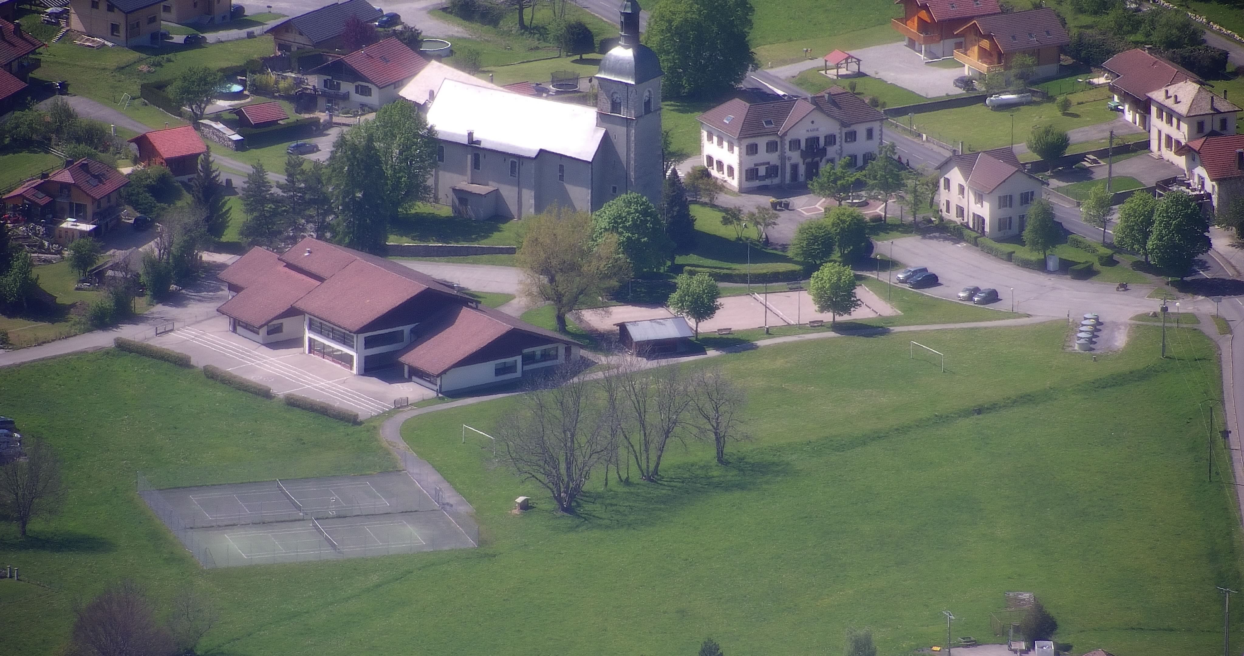
  WebCams
Jardin d'enfant
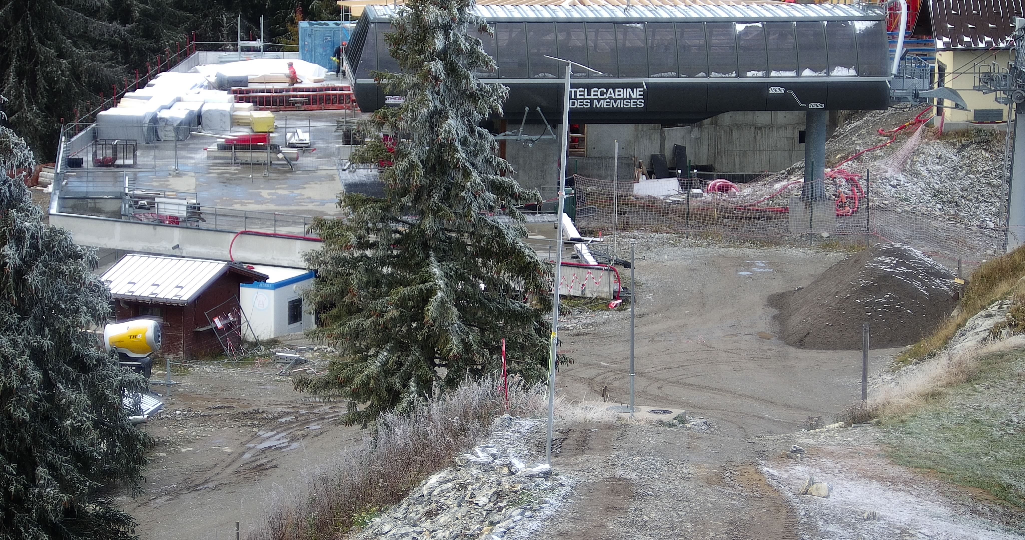
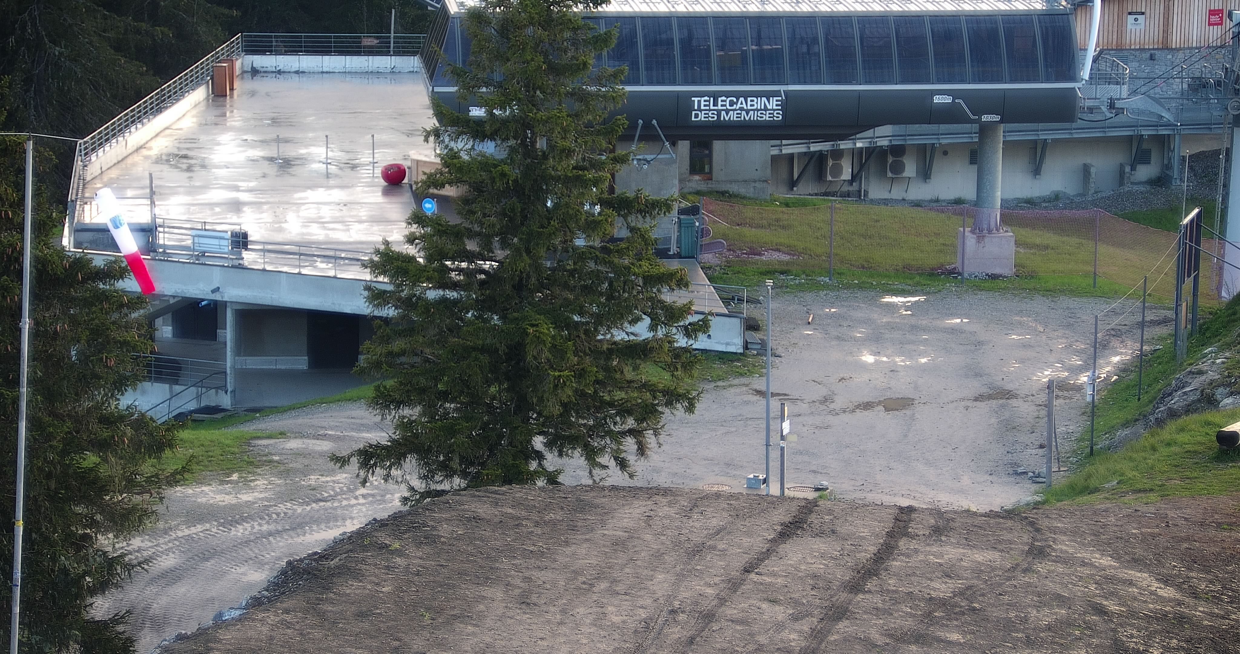
Arrivee telecavine
Snowpark
WEDNESDAY
Jul 22

50° / 44°

9 - 17
mph
 0
0
THURSDAY
Jul 23
52° / 44°

5 - 12
mph
0
FRIDAY
Jul 24
51° / 47°
4 - 12
mph
0
SATURDAY
Jul 25
51° / 46°
8 - 16
mph
0
SUNDAY
Jul 26

47° / 42°
8 - 16
mph
0
MONDAY
Jul 27

42° / 37°
5 - 12
mph
0
TUESDAY
Jul 28

48° / 41°
5 - 12
mph
0
Clear becoming mostly clear in the evening continuing through overnight, with windy conditions at times.
No snow.
No precipitation expected.
Hi: 50°Low: 44°
8,287 feet to 10382 feet
Winds variable at 4 to 11 mph in the morning, becoming NE at 9 to 17 mph in the afternoon, and then NE at 11 to 20 mph overnight.
Mostly clear through the day becoming partly cloudy overnight. Expect windy conditions at times.
No snow.
No precipitation expected.
Hi: 52°Low: 44°
9,682 feet to 10269 feet
Winds variable at 5 to 12 mph through the day, becoming SW at 6 to 14 mph overnight.
Mostly clear becoming clear overnight continuing through overnight, with windy conditions at times.
No snow.
No precipitation expected.
Hi: 51°Low: 47°
9,087 feet to 9436 feet
Winds SW at 7 to 15 mph in the morning, becoming variable at 4 to 12 mph in the afternoon through overnight.
Clear through the day becoming mostly clear overnight. Expect windy conditions at times.
No snow.
No precipitation expected.
Hi: 51°Low: 46°
8,585 feet to 9541 feet
Winds variable at 5 to 13 mph in the morning, becoming SW at 8 to 16 mph in the afternoon, and then SW at 9 to 17 mph overnight.
Partly cloudy becoming cloudy at times continuing through overnight, with windy conditions at times.
No snow.
No precipitation expected.
Hi: 47°Low: 42°
5,973 feet to 8326 feet
Winds SW at 8 to 16 mph through the day, becoming SW at 10 to 18 mph overnight.
Mostly cloudy becoming partly cloudy overnight continuing through overnight, with periods of rain and snow expected overnight.
Periods of light snow throughout the day. Snowfall is forecast to be a trace amount.
Potential Precip:
0.02 to 0.1
Hi: 42°Low: 37°
5,172 feet to 7413 feet
Winds variable at 5 to 12 mph through the day, becoming variable at 4 to 12 mph overnight.
Mostly cloudy becoming partly cloudy in the afternoon and then mostly cloudy overnight. Periods of rain are expected in the morning through overnight.
No snow.
Potential Precip:
0.02 to 0.12
Hi: 48°Low: 41°
6,736 feet to 7972 feet
Winds variable at 5 to 12 mph through the day, becoming variable at 8 to 16 mph overnight.
 Sunrise & Sunset

Lunar Calendar


 Mid-Mountain


