 Ballon d'Alsace
  Mt Waterman Mountain Hig... Mt Baldy
 Le Larmont
  WebCams
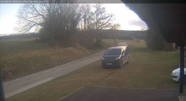
Bolandoz Front-de-Neige
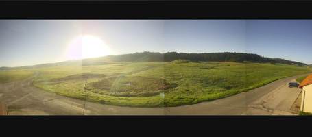
Bellecombe-Bouleme

La Joux
SUNDAY
Mar 29
54° / 43°

5 - 13
mph
 0
0
MONDAY
Mar 30
58° / 43°
4 - 11
mph
0
TUESDAY
Mar 31

56° / 46°
4 - 12
mph
0
WEDNESDAY
Apr 1
57° / 45°
5 - 12
mph
0
THURSDAY
Apr 2

51° / 38°
5 - 13
mph
0
FRIDAY
Apr 3

46° / 37°
5 - 12
mph
0
SATURDAY
Apr 4

55° / 41°

3 - 11
mph
0
Partly cloudy becoming mostly clear in the late morning continuing through overnight.
No snow.
No precipitation expected.
Hi: 54°Low: 43°
8,117 feet to 10218 feet
Winds variable at 5 to 12 mph in the morning, becoming variable at 5 to 13 mph in the afternoon, and then variable at 4 to 12 mph overnight.
Mostly clear becoming partly cloudy at times and then mostly clear overnight.
No snow.
No precipitation expected.
Hi: 58°Low: 43°
9,301 feet to 10122 feet
Winds variable at 5 to 12 mph in the morning, becoming variable at 4 to 11 mph in the afternoon, and then variable at 5 to 12 mph overnight.
Partly cloudy becoming clear in the evening continuing through overnight.
No snow.
No precipitation expected.
Hi: 56°Low: 46°
9,094 feet to 9494 feet
Winds variable at 5 to 13 mph in the morning, becoming variable at 4 to 12 mph in the afternoon, and then variable at 5 to 12 mph overnight.
Clear becoming mostly clear at times continuing through overnight.
No snow.
No precipitation expected.
Hi: 57°Low: 45°
8,343 feet to 9397 feet
Winds variable at 5 to 12 mph throughout the day and into overnight.
Partly cloudy becoming cloudy at times continuing through overnight. Periods of snow are expected overnight.
Periods of light snow overnight. Snowfall is forecast to be a trace amount.
Potential Precip:
0.02 to 0.12
Hi: 51°Low: 38°
4,432 feet to 8149 feet
Winds variable at 5 to 13 mph throughout the day and into overnight.
Cloudy becoming partly cloudy in the late morning continuing through overnight. Periods of rain and snow are expected overnight.
Periods of light snow throughout the day. Snowfall is forecast to be a trace amount.
Potential Precip:
0.02 to 0.1
Hi: 46°Low: 37°
4,560 feet to 7351 feet
Winds variable at 5 to 12 mph through the day, becoming variable at 4 to 12 mph overnight.
Cloudy becoming partly cloudy at times continuing through overnight. Periods of rain are expected in the evening.
No snow.
Potential Precip:
0 to 0.02
Hi: 55°Low: 41°
6,412 feet to 7880 feet
Winds variable at 3 to 11 mph throughout the day and into overnight.
 Sunrise & Sunset

Lunar Calendar


 Mid-Mountain


