 Mt Waterman Mountain Hig... Mt Baldy Alta Sierra...
 Meix-Musy-Pierre a Feu (Val de Morteau)
  WebCams
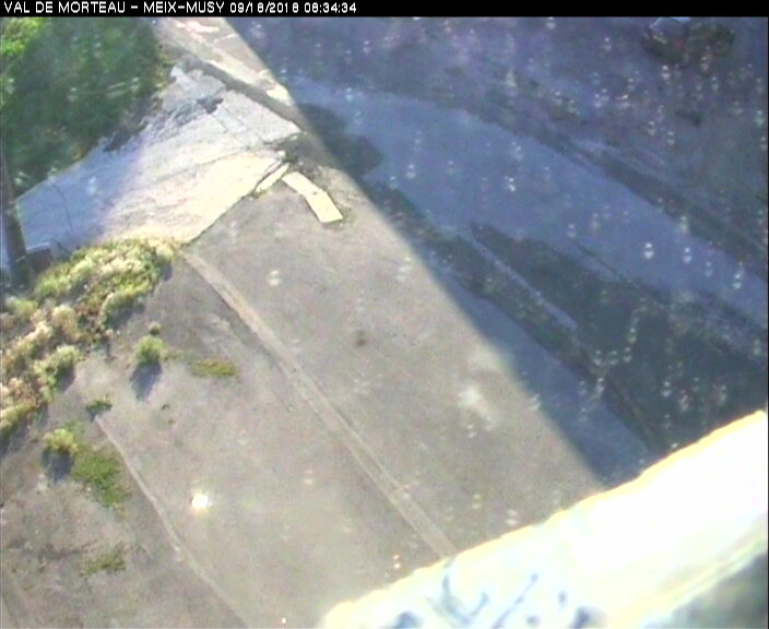
Val de morteau Meix Musy
Telesky Bamby
MONDAY
Apr 6
48° / 41°

6 - 14
mph
 0
0
TUESDAY
Apr 7

51° / 47°
5 - 12
mph
0
WEDNESDAY
Apr 8
49° / 47°
7 - 15
mph
0
THURSDAY
Apr 9
50° / 46°
4 - 12
mph
0
FRIDAY
Apr 10

45° / 36°

10 - 19
mph
0
SATURDAY
Apr 11

41° / 33°
8 - 16
mph
1
SUNDAY
Apr 12

48° / 42°
6 - 14
mph
0
Clear becoming mostly clear in the afternoon continuing through overnight, with windy conditions at times.
No snow.
No precipitation expected.
Hi: 48°Low: 41°
8,117 feet to 10201 feet
Winds W at 6 to 14 mph in the morning, becoming variable at 6 to 14 mph in the afternoon, and then E at 10 to 18 mph overnight.
Mostly clear through the day becoming partly cloudy overnight. Expect windy conditions at times.
No snow.
No precipitation expected.
Hi: 51°Low: 47°
9,627 feet to 10218 feet
Winds variable at 5 to 12 mph through the day, becoming SW at 6 to 14 mph overnight.
Clear through the day and overnight, with windy conditions at times.
No snow.
No precipitation expected.
Hi: 49°Low: 47°
9,094 feet to 9330 feet
Winds SW at 11 to 20 mph in the morning, becoming SW at 7 to 15 mph in the afternoon, and then variable at 4 to 12 mph overnight.
Clear becoming mostly clear in the afternoon continuing through overnight, with windy conditions at times.
No snow.
No precipitation expected.
Hi: 50°Low: 46°
8,520 feet to 9494 feet
Winds variable at 5 to 12 mph in the morning, becoming variable at 4 to 12 mph in the afternoon, and then S at 8 to 16 mph overnight.
Partly cloudy becoming mostly cloudy in the afternoon and then cloudy overnight. Expect windy conditions at times.
No snow.
No precipitation expected.
Hi: 45°Low: 36°
5,414 feet to 8343 feet
Winds SW at 10 to 19 mph through the day, becoming W at 12 to 21 mph overnight.
Cloudy becoming partly cloudy in the afternoon continuing through overnight, with periods of snow expected in the morning through afternoon.
Periods of light snow throughout the day. Snowfall is forecast to be 1 to 2 inches.
Potential Precip:
0.05 to 0.23
Hi: 41°Low: 33°
4,432 feet to 7230 feet
Winds SW at 8 to 16 mph through the day, becoming S at 7 to 15 mph overnight.
Cloudy becoming mostly cloudy overnight continuing through overnight, with periods of rain expected in the morning through evening.
No snow.
Potential Precip:
0.05 to 0.25
Hi: 48°Low: 42°
6,566 feet to 7880 feet
Winds SE at 6 to 14 mph through the day, becoming SW at 9 to 17 mph overnight.
 Sunrise & Sunset

Lunar Calendar


 Mid-Mountain


