 Mt Waterman Mountain Hig... Mt Baldy Alta Sierra...
 Brundage Mountain Resort
  McCall Airport, ID Updated Jul 26 @ 09:09

 North
North WebCams
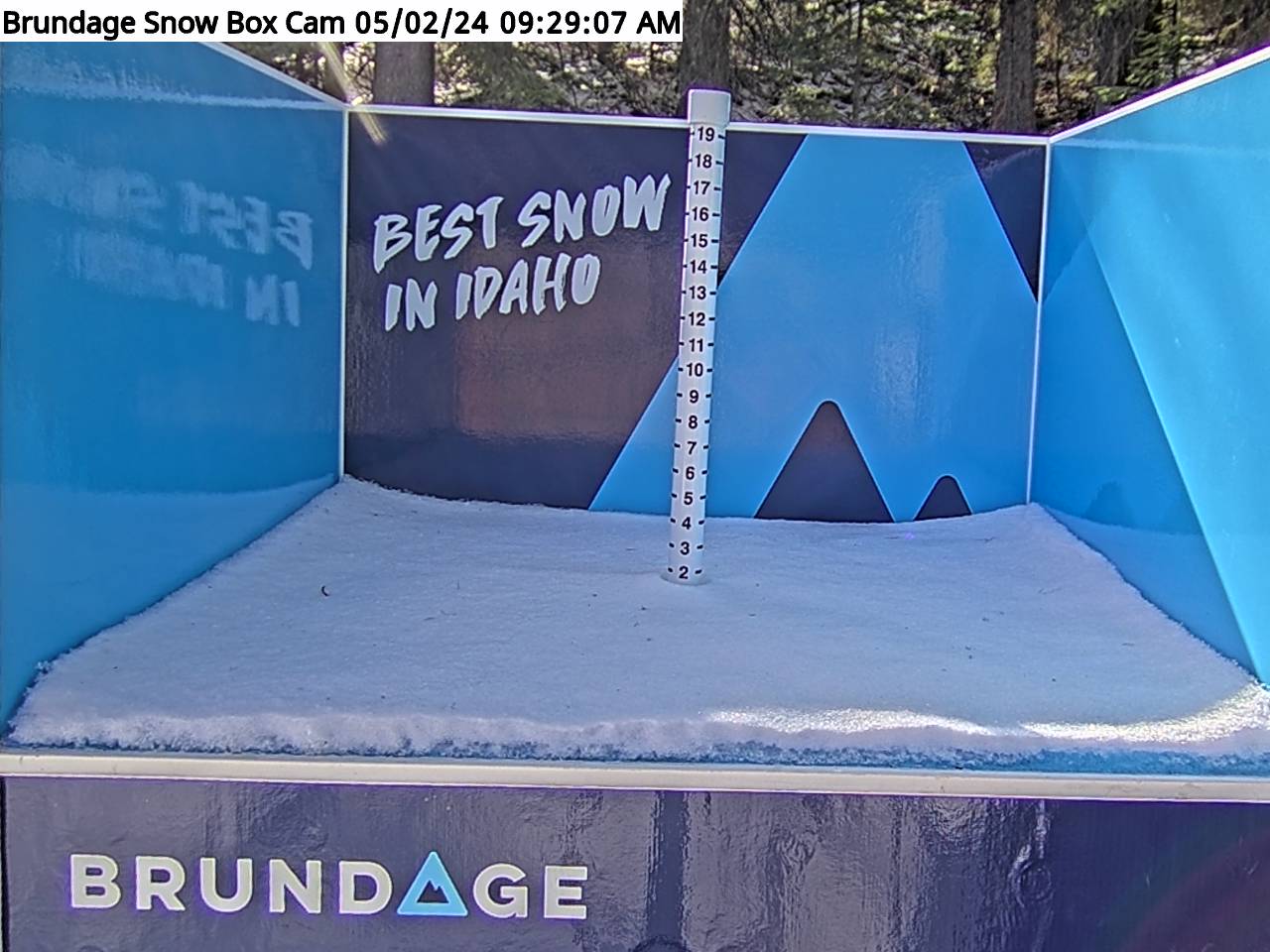
Base Elevation Snow Cam!

Bear Chair - 6,490'

Lakeview - 7,600'
SUNDAY
Jul 26

35° / 30°

6 - 14
mph
 4
4
MONDAY
Jul 27

31° / 15°
0 - 0
mph
0
TUESDAY
Jul 28
30° / 19°
4 - 12
mph
0
WEDNESDAY
Jul 29

34° / 24°
4 - 12
mph
0
THURSDAY
Jul 30

35° / 31°
4 - 12
mph
0
FRIDAY
Jul 31
36° / 29°
4 - 11
mph
0
SATURDAY
Aug 1
36° / 27°
6 - 14
mph
0
Cloudy becoming partly cloudy at times continuing through overnight, with periods of snow expected at any time.
Moderate snow during the day, becoming light in the evening through overnight with periods of moderate overnight. Snowfall is forecast to be 2 to 3 during the day, and 2 to 4 inches in the evening and overnight.
Potential Precip:
0.26 to 1.3
Hi: 35°Low: 30°
5,570 feet to 6923 feet
Winds SW at 6 to 14 mph through the day, becoming SW at 9 to 17 mph with gusts to 29 overnight.
Cloudy becoming partly cloudy at times continuing through overnight, with periods of snow expected at any time.
Heavy snow during the day, becoming moderate in the evening through overnight with periods of heavy overnight. Snowfall is forecast to be 3 to 5 during the day, and 3 to 6 inches in the evening and overnight.
Potential Precip:
0.26 to 1.3
Hi: 30°Low: 23°
5,570 feet to 6923 feet
Winds SW at 13 to 22 mph with gusts to 29 in the morning, becoming SW at 13 to 24 mph with gusts to 30 in the afternoon, and then SW at 19 to 30 mph with gusts to 42 overnight.
Partly cloudy becoming clear at times continuing through overnight. Periods of snow are expected in the morning.
Scattered snow showers possible.
Potential Precip:
0 to 0.02
Hi: 31°Low: 15°
0 feet to 5632 feet
Winds SW at 6 to 14 mph in the morning, becoming calm in the afternoon, and then variable at 3 to 11 mph overnight.
Partly cloudy becoming clear at times continuing through overnight. Periods of snow are expected in the morning.
Scattered snow showers possible.
Potential Precip:
0 to 0.02
Hi: 23°Low: 18°
0 feet to 5632 feet
Winds SW at 9 to 17 mph in the morning, becoming SW at 7 to 15 mph in the afternoon, and then S at 9 to 17 mph overnight.
Mostly clear becoming partly cloudy at times and then mostly clear overnight. Expect windy conditions at times.
No snow.
No precipitation expected.
Hi: 31°Low: 19°
1,398 feet to 5614 feet
Winds S at 7 to 15 mph in the morning, becoming variable at 4 to 12 mph in the afternoon, and then variable at 3 to 11 mph overnight.
Mostly clear becoming partly cloudy at times and then mostly clear overnight. Expect windy conditions at times.
No snow.
No precipitation expected.
Hi: 27°Low: 24°
1,398 feet to 5614 feet
Winds SW at 11 to 20 mph in the morning, becoming S at 11 to 20 mph in the afternoon, and then SW at 10 to 19 mph overnight.
Mostly clear becoming clear in the late morning and then mostly cloudy overnight. Periods of snow are expected overnight.
Periods of light snow overnight. Snowfall is forecast to be a trace amount.
Potential Precip:
0 to 0.01
Hi: 34°Low: 24°
2,724 feet to 7404 feet
Winds SW at 6 to 14 mph in the morning, becoming variable at 4 to 12 mph in the afternoon, and then variable at 3 to 11 mph overnight.
Mostly clear becoming clear in the late morning and then mostly cloudy overnight. Periods of snow are expected overnight.
Periods of light snow overnight. Snowfall is forecast to be a trace amount.
Potential Precip:
0 to 0.01
Hi: 32°Low: 27°
2,724 feet to 7404 feet
Winds SW at 10 to 19 mph in the morning, becoming SW at 14 to 23 mph with gusts to 30 in the afternoon, and then S at 11 to 20 mph with gusts to 28 overnight.
Mostly cloudy becoming cloudy in the late morning continuing through overnight, with periods of snow developing in the evening through overnight.
Periods of light snow throughout the day and overnight. Snowfall is forecast to be a trace amount.
Potential Precip:
0.01 to 0.05
Hi: 35°Low: 31°
5,718 feet to 8200 feet
Winds variable at 4 to 12 mph throughout the day and into overnight.
Mostly cloudy becoming cloudy in the late morning continuing through overnight, with periods of snow developing in the evening through overnight.
Periods of light snow throughout the day and overnight. Snowfall is forecast to be a trace amount.
Potential Precip:
0.01 to 0.05
Hi: 33°Low: 30°
5,718 feet to 8200 feet
Winds S at 11 to 20 mph through the day, becoming S at 10 to 19 mph overnight.
Cloudy becoming mostly cloudy at times and then partly cloudy overnight. Periods of snow are expected in the morning through afternoon.
Periods of light snow throughout the day. Snowfall is forecast to be a trace amount.
Potential Precip:
0.04 to 0.19
Hi: 36°Low: 29°
4,484 feet to 7397 feet
Winds variable at 4 to 11 mph through the day, becoming variable at 4 to 12 mph overnight.
Cloudy becoming mostly cloudy at times and then partly cloudy overnight. Periods of snow are expected in the morning through afternoon.
Periods of light to moderate snow throughout the day. Snowfall is forecast to be 1 to 2 inches.
Potential Precip:
0.04 to 0.19
Hi: 31°Low: 28°
4,484 feet to 7397 feet
Winds variable at 3 to 11 mph through the day, becoming variable at 5 to 13 mph overnight.
Partly cloudy becoming mostly clear at times continuing through overnight.
Periods of snow throughout the day and overnight.
Potential Precip:
0 to 0.01
Hi: 36°Low: 27°
7,365 feet to 9638 feet
Winds NE at 6 to 14 mph through the day, becoming variable at 5 to 13 mph overnight.
Partly cloudy becoming mostly clear at times continuing through overnight.
Periods of snow throughout the day and overnight.
Potential Precip:
0 to 0.01
Hi: 34°Low: 31°
7,365 feet to 9638 feet
Winds N at 7 to 15 mph through the day, becoming variable at 6 to 14 mph overnight.
 Sunrise & Sunset

Lunar Calendar


 Snow Maps and Weather Stations in the Area
 ![]() 7in, past 3 days. Snow surface is packed powder and powder
7in, past 3 days. Snow surface is packed powder and powder
Snow report provided by SnoCountry
 Mountain Base


