 Mt Waterman Mt Baldy Mountain Hig... Snow Valley...
 Mission Ridge Ski Area
  BLEWETT PASS, WA Updated Jul 21 @ 03:14

 North
North WebCams

SunSpot Cam

Micro Cam

Midway Cam
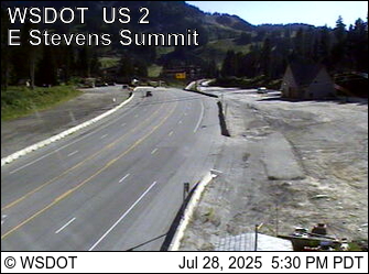
Stevens Pass/ Summit
TUESDAY
Jul 21

28° / 25°

12 - 21
mph
 0
0
WEDNESDAY
Jul 22

28° / 26°

13 - 22
mph
0
THURSDAY
Jul 23
31° / 26°
13 - 24
mph
0
FRIDAY
Jul 24

30° / 28°

5 - 13
mph
0
SATURDAY
Jul 25

38° / 31°
8 - 16
mph
0
SUNDAY
Jul 26
38° / 36°
14 - 25
mph
0
Partly cloudy becoming mostly clear in the evening continuing through overnight, with periods of snow expected in the afternoon.
Periods of light snow during the day. Snowfall is forecast to be a trace amount during the day.
Potential Precip:
0 to 0.01
Hi: 28°Low: 25°
2,568 feet to 4596 feet
Winds W at 14 to 23 mph in the morning, becoming W at 12 to 21 mph in the afternoon through overnight.
Mostly clear through the day and overnight.
Scattered snow showers possible.
Potential Precip:
0 to 0.01
Hi: 28°Low: 26°
1,859 feet to 4557 feet
Winds W at 11 to 20 mph in the morning, becoming W at 13 to 22 mph in the afternoon, and then W at 14 to 23 mph overnight.
Clear becoming partly cloudy overnight continuing through overnight, with windy conditions at times.
No snow.
No precipitation expected.
Hi: 31°Low: 26°
2,209 feet to 5316 feet
Winds W at 14 to 25 mph in the morning, becoming NW at 13 to 24 mph in the afternoon, and then SW at 6 to 14 mph with gusts to 22 overnight.
Cloudy becoming mostly cloudy in the afternoon continuing through overnight. Expect windy conditions at times.
No snow.
No precipitation expected.
Hi: 30°Low: 28°
3,592 feet to 6480 feet
Winds variable at 5 to 13 mph through the day, becoming variable at 4 to 12 mph overnight.
Clear becoming mostly cloudy at times continuing through overnight, with windy conditions at times.
No snow.
No precipitation expected.
Hi: 38°Low: 31°
5,066 feet to 8449 feet
Winds W at 8 to 16 mph through the day, becoming NW at 12 to 21 mph overnight.
Cloudy becoming partly cloudy at times and then mostly cloudy overnight. Expect windy conditions at times.
No snow.
No precipitation expected.
Hi: 38°Low: 36°
7,311 feet to 9145 feet
Winds NW at 14 to 25 mph through the day, becoming NW at 13 to 24 mph overnight.
 Sunrise & Sunset

Lunar Calendar


 Snow Maps and Weather Stations in the Area
 ![]() 14in, past 6 days. Snow surface is machine groomed and variable conditions
14in, past 6 days. Snow surface is machine groomed and variable conditions
Snow report provided by SnoCountry
 Mid-Mountain


