 Mt Waterman Mt Baldy Mountain Hig... Snow Valley...
 Northstar-at-Tahoe
  DW9019 Olympic Valley, CA Updated Jul 11 @ 08:09

 Southwest
 WebCams

snow stake
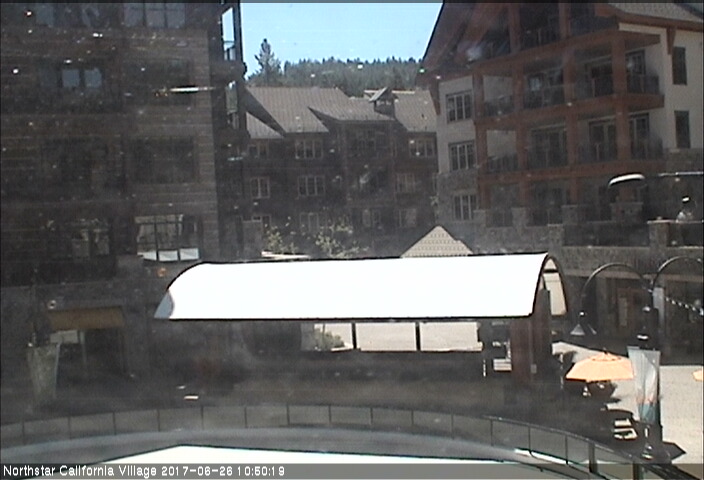
Village
SATURDAY
Jul 11

43° / 39°

15 - 26
mph
 0
0
SUNDAY
Jul 12
44° / 40°

10 - 18
mph
0
MONDAY
Jul 13
50° / 45°

5 - 13
mph
0
TUESDAY
Jul 14
53° / 44°
5 - 12
mph
0
WEDNESDAY
Jul 15

52° / 41°
11 - 20
mph
0
THURSDAY
Jul 16

45° / 32°
12 - 21
mph
0
FRIDAY
Jul 17
37° / 33°
9 - 17
mph
0
Partly cloudy through the day becoming mostly cloudy overnight. Periods of rain are expected at any time.
No snow.
Potential Precip:
0.16 to 0.81
Hi: 43°Low: 39°
8,955 feet to 13544 feet
Winds SW at 26 to 37 mph with gusts to 64 in the morning, becoming SW at 15 to 26 mph with gusts to 40 in the afternoon, and then SW at 12 to 21 mph with gusts to 35 overnight.
Partly cloudy becoming mostly cloudy at times continuing through overnight, with periods of rain expected in the morning.
No snow.
Potential Precip:
0 to 0.01
Hi: 44°Low: 40°
9,607 feet to 11616 feet
Winds SW at 10 to 19 mph in the morning, becoming SW at 10 to 18 mph in the afternoon, and then SW at 7 to 15 mph overnight.
Partly cloudy through the day and overnight, with windy conditions at times.
No snow.
No precipitation expected.
Hi: 50°Low: 45°
11,598 feet to 11933 feet
Winds variable at 5 to 13 mph throughout the day and into overnight.
Mostly clear becoming mostly cloudy in the afternoon continuing through overnight. Expect windy conditions at times.
No snow.
No precipitation expected.
Hi: 53°Low: 44°
10,564 feet to 11767 feet
Winds variable at 5 to 12 mph through the day, becoming SW at 7 to 15 mph overnight.
Cloudy becoming partly cloudy at times and then mostly cloudy overnight. Periods of rain are expected overnight.
No snow.
Potential Precip:
0 to 0.01
Hi: 52°Low: 41°
8,907 feet to 10556 feet
Winds SW at 11 to 20 mph through the day, becoming SW at 10 to 19 mph overnight.
Partly cloudy becoming mostly clear in the late morning continuing through overnight, with periods of snow expected in the afternoon.
Periods of light snow throughout the day. Snowfall is forecast to be a trace amount.
Potential Precip:
0.02 to 0.1
Hi: 45°Low: 32°
6,913 feet to 9197 feet
Winds SW at 12 to 21 mph through the day, becoming variable at 4 to 12 mph overnight.
Cloudy becoming clear in the afternoon continuing through overnight, with periods of snow expected in the morning.
Periods of light snow throughout the day. Snowfall is forecast to be a trace amount.
Potential Precip:
0.04 to 0.2
Hi: 37°Low: 33°
7,177 feet to 8187 feet
Winds variable at 9 to 17 mph with gusts to 26 through the day, becoming NE at 9 to 17 mph with gusts to 27 overnight.
 Sunrise & Sunset

Lunar Calendar


 Snow Maps and Weather Stations in the Area
 ![]() 20in, past 7 days. Snow surface is machine groomed and powder
20in, past 7 days. Snow surface is machine groomed and powder
Snow report provided by SnoCountry
 Mid-Mountain


