 Mt Waterman Mt Baldy Mountain Hig... Snow Valley...
 Beaver Creek Resort
  070E17110RWS1RP1 at Dowd Junction, CO Updated May 27 @ 06:08

 Northeast
 WebCams
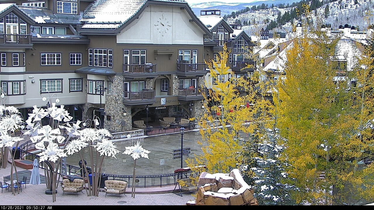
Family Ice Arena - 8,100ft
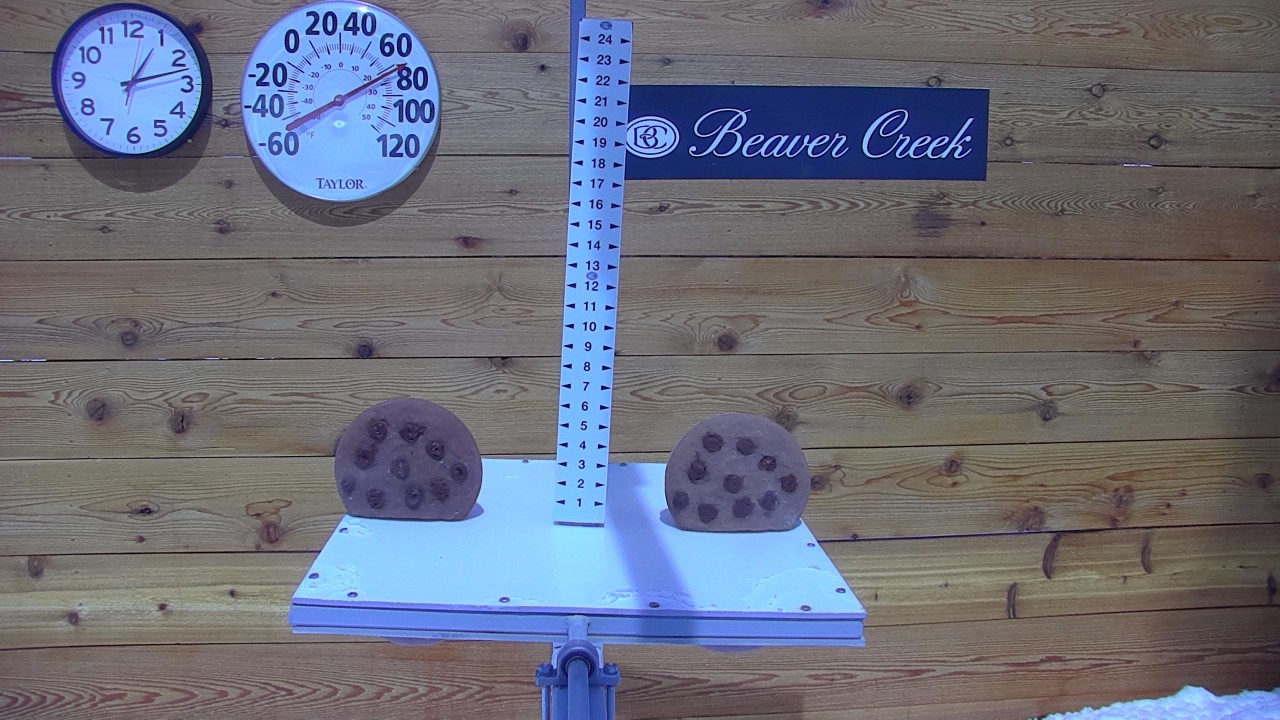
Snow stake -10,500'
WEDNESDAY
May 27

45° / 34°

4 - 12
mph
 0
0
THURSDAY
May 28

40° / 28°

13 - 22
mph
1
FRIDAY
May 29

39° / 25°
4 - 12
mph
0
SATURDAY
May 30
42° / 30°
5 - 13
mph
0
SUNDAY
May 31

46° / 35°
4 - 12
mph
0
MONDAY
Jun 1

48° / 41°
5 - 13
mph
0
TUESDAY
Jun 2

47° / 38°
6 - 14
mph
0
Partly cloudy becoming mostly cloudy at times continuing through overnight. Periods of rain and snow are expected overnight.
Light snow through the day and into overnight. Snowfall is forecast to be a trace amount during the day, and a trace amount in the evening and overnight.
Potential Precip:
0.08 to 0.42
Hi: 47°Low: 35°
8,768 feet to 11311 feet
Winds W at 8 to 16 mph in the morning, becoming variable at 4 to 12 mph in the afternoon, and then variable at 5 to 13 mph overnight.
Partly cloudy becoming mostly cloudy at times continuing through overnight. Periods of snow are expected in the afternoon through overnight.
Light snow through the day into the evening, becoming moderate overnight. Snowfall is forecast to be a trace amount during the day, and 3 to 5 inches in the evening and overnight.
Potential Precip:
0.08 to 0.42
Hi: 28°Low: 24°
8,768 feet to 11311 feet
Winds W at 28 to 39 mph with gusts to 54 in the morning, becoming W at 16 to 27 mph with gusts to 51 in the afternoon, and then W at 23 to 34 mph with gusts to 56 overnight.
Partly cloudy through the day and overnight, with periods of rain and snow expected overnight.
Light snow through the day and into overnight. Snowfall is forecast to be a trace amount during the day, and 1 to 2 inches in the evening and overnight.
Potential Precip:
0.1 to 0.5
Hi: 41°Low: 30°
7,217 feet to 10298 feet
Winds W at 10 to 19 mph in the morning, becoming W at 13 to 22 mph in the afternoon, and then W at 9 to 17 mph overnight.
Partly cloudy through the day and overnight, with periods of snow expected at any time.
Moderate snow through the day into the evening, becoming light with periods of moderate overnight. Snowfall is forecast to be 2 to 3 during the day, and 3 to 5 inches in the evening and overnight.
Potential Precip:
0.1 to 0.5
Hi: 23°Low: 16°
7,217 feet to 10298 feet
Winds W at 33 to 44 mph with gusts to 56 in the morning, becoming W at 41 to 52 mph with gusts to 60 in the afternoon, and then W at 28 to 39 mph with gusts to 50 overnight.
Partly cloudy becoming mostly clear in the evening continuing through overnight.
Scattered snow showers possible.
Potential Precip:
0 to 0.02
Hi: 40°Low: 26°
6,169 feet to 10066 feet
Winds variable at 5 to 13 mph in the morning, becoming variable at 4 to 12 mph in the afternoon, and then variable at 5 to 13 mph overnight.
Partly cloudy becoming mostly clear in the evening continuing through overnight.
Scattered snow showers possible.
Potential Precip:
0 to 0.02
Hi: 22°Low: 18°
6,169 feet to 10066 feet
Winds W at 9 to 17 mph in the morning, becoming W at 8 to 16 mph in the afternoon, and then W at 12 to 21 mph with gusts to 40 overnight.
Mostly clear becoming mostly cloudy at times continuing through overnight, with windy conditions at times.
No snow.
No precipitation expected.
Hi: 43°Low: 31°
7,574 feet to 10650 feet
Winds variable at 5 to 13 mph through the day, becoming variable at 4 to 12 mph overnight.
Mostly clear becoming mostly cloudy at times continuing through overnight, with windy conditions at times.
No snow.
No precipitation expected.
Hi: 26°Low: 23°
7,574 feet to 10650 feet
Winds W at 12 to 21 mph with gusts to 33 in the morning, becoming W at 13 to 22 mph with gusts to 33 in the afternoon, and then W at 14 to 23 mph with gusts to 38 overnight.
Cloudy becoming mostly cloudy at times and then partly cloudy overnight. Expect windy conditions at times.
No snow.
No precipitation expected.
Hi: 47°Low: 37°
9,137 feet to 11268 feet
Winds variable at 4 to 12 mph through the day, becoming variable at 5 to 13 mph overnight.
Cloudy becoming mostly cloudy at times and then partly cloudy overnight. Expect windy conditions at times.
No snow.
No precipitation expected.
Hi: 29°Low: 26°
9,137 feet to 11268 feet
Winds W at 10 to 18 mph with gusts to 27 through the day, becoming W at 18 to 29 mph with gusts to 46 overnight.
Mostly cloudy becoming partly cloudy in the late morning and then mostly cloudy overnight. Periods of rain are expected in the afternoon through overnight.
No snow.
Potential Precip:
0.01 to 0.04
Hi: 49°Low: 42°
11,089 feet to 11888 feet
Winds variable at 5 to 13 mph through the day, becoming SW at 7 to 15 mph overnight.
Mostly cloudy becoming partly cloudy in the late morning and then mostly cloudy overnight. Periods of snow are expected in the afternoon through overnight.
Periods of light snow throughout the day and overnight. Snowfall is forecast to be a trace amount.
Potential Precip:
0.01 to 0.04
Hi: 31°Low: 28°
11,089 feet to 11888 feet
Winds SW at 16 to 27 mph with gusts to 36 through the day, becoming W at 27 to 38 mph with gusts to 51 overnight.
Cloudy becoming mostly cloudy in the evening continuing through overnight, with periods of rain expected in the morning through overnight.
No snow.
Potential Precip:
0.01 to 0.06
Hi: 48°Low: 39°
9,843 feet to 11547 feet
Winds SW at 6 to 14 mph through the day, becoming variable at 4 to 12 mph overnight.
Cloudy becoming mostly cloudy in the evening continuing through overnight, with periods of snow expected in the morning through overnight.
Periods of light snow throughout the day and overnight. Snowfall is forecast to be a trace amount.
Potential Precip:
0.01 to 0.06
Hi: 29°Low: 25°
9,843 feet to 11547 feet
Winds SW at 15 to 26 mph through the day, becoming SW at 10 to 19 mph with gusts to 33 overnight.
 Sunrise & Sunset

Lunar Calendar


 Snow Maps and Weather Stations in the Area
 ![]() 16in, past 7 days. Snow surface is packed powder and powder
16in, past 7 days. Snow surface is packed powder and powder
Snow report provided by SnoCountry
Plan your future trip using our temperature, snowfall, snow depth, and precipitation tool
 Day |
 High Temperatures |
 Low Temperatures |
 Precipitation |
 Snowfall |
 Snow Depth |
||||||||||||||
|---|---|---|---|---|---|---|---|---|---|---|---|---|---|---|---|---|---|---|---|
| Avg | High | Year | Low | Year | Avg | High | Year | Low | Year | Avg | Max | Year | Avg | Max | Year | Avg | Max | Year | |
| 1 | 53 | 73 | 1992 | 35 | 2011 | 26 | 33 | 2007 | 15 | 1991 | 0.055 | 0.40 | 2005 | 0.40 | 3.5 | 2008 | 4.0 | 29 | 1993 |
| 2 | 54 | 71 | 1988 | 30 | 2008 | 26 | 37 | 2007 | 15 | 2013 | 0.076 | 0.79 | 1999 | 0.70 | 5.4 | 1999 | 4.2 | 28 | 1993 |
| 3 | 55 | 72 | 1986 | 39 | 2013 | 28 | 35 | 1996 | 16 | 2011 | 0.056 | 0.62 | 1995 | 0.02 | 0.5 | 1995 | 3.4 | 26 | 1993 |
| 4 | 57 | 73 | 2000 | 40 | 2001 | 27 | 35 | 2015 | 14 | 2008 | 0.077 | 0.62 | 2003 | 0.44 | 6.0 | 2003 | 3.2 | 23 | 1993 |
| 5 | 59 | 74 | 2000 | 36 | 1999 | 29 | 34 | 2015 | 21 | 1999 | 0.045 | 0.45 | 2003 | 0.26 | 3.0 | 2003 | 3.0 | 21 | 1996 |
| 6 | 59 | 76 | 2000 | 32 | 1999 | 29 | 36 | 2009 | 17 | 1999 | 0.065 | 0.90 | 2015 | 0.38 | 3.5 | 1999 | 2.5 | 20 | 1993 |
| 7 | 59 | 73 | 2000 | 42 | 2007 | 29 | 35 | 2000 | 14 | 1991 | 0.070 | 0.40 | 2015 | T | T | 2007 | 2.0 | 20 | 1993 |
| 8 | 59 | 70 | 2004 | 44 | 2005 | 28 | 34 | 1990 | 21 | 1986 | 0.058 | 0.43 | 2000 | 0.17 | 3.0 | 1993 | 2.5 | 22 | 1993 |
| 9 | 58 | 74 | 1991 | 38 | 1995 | 29 | 33 | 1998 | 18 | 2002 | 0.076 | 0.52 | 2013 | 0.11 | 1.0 | 2003 | 1.4 | 20 | 1993 |
| 10 | 59 | 76 | 1989 | 43 | 1993 | 29 | 38 | 1985 | 19 | 1990 | 0.113 | 0.84 | 2008 | 0.66 | 5.3 | 2008 | 1.5 | 16 | 1993 |
| 11 | 59 | 72 | 2000 | 35 | 1999 | 29 | 46 | 2000 | 14 | 1999 | 0.019 | 0.20 | 2014 | 0.06 | 1.0 | 1990 | 1.1 | 15 | 1993 |
| 12 | 60 | 72 | 2004 | 40 | 2011 | 28 | 39 | 1994 | 18 | 2008 | 0.076 | 0.38 | 1990 | 0.45 | 4.0 | 2010 | 1.2 | 13 | 1993 |
| 13 | 59 | 74 | 1988 | 36 | 2014 | 29 | 39 | 2012 | 17 | 2000 | 0.051 | 0.37 | 1995 | 0.36 | 3.0 | 2004 | 0.5 | 3 | 2004 |
| 14 | 61 | 75 | 1996 | 39 | 2008 | 30 | 42 | 2001 | 17 | 2014 | 0.028 | 0.27 | 2008 | 0.04 | 1.0 | 2010 | 0.1 | 1 | 2010 |
| 15 | 62 | 75 | 1991 | 38 | 2010 | 31 | 37 | 1991 | 20 | 2014 | 0.073 | 1.10 | 2010 | 0.10 | 2.0 | 2010 | 0.2 | 2 | 2010 |
| 16 | 62 | 77 | 1996 | 46 | 2014 | 32 | 39 | 1993 | 24 | 2015 | 0.077 | 0.96 | 1991 | 0.07 | 1.5 | 1990 | 0.2 | 2 | 1990 |
| 17 | 62 | 77 | 1988 | 45 | 1991 | 33 | 42 | 2001 | 22 | 1990 | 0.056 | 0.30 | 2012 | 0.02 | 0.5 | 1999 | 0.1 | 1 | 1999 |
| 18 | 62 | 77 | 2009 | 43 | 2000 | 33 | 42 | 2009 | 26 | 1999 | 0.061 | 0.37 | 1993 | 0.11 | 1.6 | 2000 | 0.1 | 2 | 2000 |
| 19 | 65 | 72 | 2009 | 36 | 2011 | 32 | 41 | 2001 | 24 | 1986 | 0.051 | 0.38 | 2012 | 0.00 | 0.0 | 2010 | 0.0 | T | 2010 |
| 20 | 63 | 75 | 1991 | 43 | 2011 | 33 | 41 | 2002 | 26 | 1986 | 0.095 | 0.90 | 2011 | 0.00 | 0.0 | 2010 | 0.2 | 5 | 2011 |
| 21 | 65 | 79 | 2005 | 47 | 2011 | 32 | 41 | 2009 | 19 | 2001 | 0.016 | 0.16 | 2001 | 0.05 | 1.2 | 2001 | 0.0 | 1 | 2001 |
| 22 | 65 | 79 | 1990 | 47 | 2008 | 31 | 37 | 1997 | 19 | 2001 | 0.041 | 0.33 | 1997 | 0.08 | 2.0 | 2007 | 0.1 | 2 | 2007 |
| 23 | 64 | 78 | 2005 | 42 | 2007 | 33 | 41 | 1999 | 24 | 1988 | 0.048 | 0.53 | 2012 | 0.12 | 3.0 | 2007 | 0.1 | 3 | 2007 |
| 24 | 65 | 78 | 2005 | 43 | 2011 | 33 | 41 | 2009 | 22 | 2002 | 0.041 | 0.40 | 2002 | 0.01 | 0.2 | 2002 | 0.0 | 0 | 2010 |
| 25 | 63 | 77 | 2000 | 50 | 2007 | 32 | 39 | 2014 | 24 | 2010 | 0.126 | 1.34 | 1999 | 0.08 | 1.0 | 2010 | 0.1 | 1 | 2010 |
| 26 | 64 | 74 | 1988 | 50 | 2015 | 32 | 39 | 1993 | 23 | 1989 | 0.048 | 0.43 | 1996 | 0.02 | 0.5 | 1996 | 0.0 | 1 | 1996 |
| 27 | 63 | 76 | 2010 | 42 | 1997 | 33 | 42 | 1992 | 24 | 1986 | 0.084 | 0.62 | 1992 | 0.00 | 0.0 | 2010 | 0.0 | 0 | 2010 |
| 28 | 64 | 77 | 2010 | 46 | 1997 | 34 | 44 | 1990 | 25 | 2012 | 0.046 | 0.40 | 1993 | 0.00 | 0.0 | 2010 | 0.0 | 0 | 2010 |
| 29 | 66 | 80 | 2003 | 50 | 2011 | 34 | 44 | 2014 | 26 | 2011 | 0.076 | 0.77 | 1997 | 0.00 | 0.0 | 2010 | 0.0 | 0 | 2010 |
| 30 | 67 | 80 | 2003 | 47 | 1997 | 33 | 44 | 2014 | 23 | 1989 | 0.129 | 1.18 | 1997 | 0.10 | 2.5 | 2004 | 0.1 | 3 | 2004 |
| 31 | 65 | 82 | 2002 | 45 | 2004 | 33 | 42 | 2003 | 24 | 1989 | 0.044 | 0.51 | 1995 | 0.00 | 0.0 | 2010 | 0.0 | 0 | 2010 |
Day |
High Temperatures |
Low Temperatures |
Precipitation |
Snowfall |
Snow Depth |
||||||||||||||
|---|---|---|---|---|---|---|---|---|---|---|---|---|---|---|---|---|---|---|---|
| Avg | High | Year | Low | Year | Avg | High | Year | Low | Year | Avg | Max | Year | Avg | Max | Year | Avg | Max | Year | |
| 1 | 41 | 58 | 1992 | 19 | 1967 | 17 | 33 | 1959 | -8 | 1993 | 0.066 | 0.50 | 2006 | 0.95 | 8.1 | 1973 | 42.2 | 77 | 2011 |
| 2 | 42 | 59 | 1981 | 22 | 2008 | 18 | 33 | 1965 | -5 | 1993 | 0.076 | 0.93 | 1999 | 1.13 | 12.5 | 1999 | 41.8 | 77 | 2011 |
| 3 | 43 | 57 | 1985 | 24 | 2008 | 19 | 31 | 1985 | -6 | 1993 | 0.057 | 0.55 | 1984 | 0.77 | 7.8 | 1984 | 40.7 | 77 | 2011 |
| 4 | 45 | 56 | 2012 | 26 | 2001 | 21 | 36 | 1956 | 5 | 1973 | 0.044 | 0.37 | 2009 | 0.58 | 5.0 | 2009 | 39.1 | 74 | 2011 |
| 5 | 46 | 60 | 2000 | 30 | 1978 | 22 | 34 | 2004 | 3 | 1953 | 0.081 | 0.72 | 1969 | 1.02 | 10.0 | 2001 | 38.7 | 73 | 2011 |
| 6 | 46 | 60 | 2000 | 32 | 1999 | 21 | 36 | 2004 | 0 | 1993 | 0.094 | 1.00 | 1984 | 1.16 | 10.0 | 1978 | 37.5 | 80 | 1984 |
| 7 | 45 | 58 | 1966 | 27 | 1975 | 22 | 35 | 1963 | 3 | 1993 | 0.076 | 0.95 | 1969 | 0.84 | 10.5 | 1978 | 36.6 | 81 | 1984 |
| 8 | 45 | 59 | 1989 | 29 | 1978 | 22 | 39 | 1963 | 6 | 1984 | 0.086 | 0.72 | 1995 | 1.06 | 10.5 | 1959 | 35.4 | 77 | 1984 |
| 9 | 45 | 59 | 2004 | 30 | 1988 | 22 | 34 | 1977 | 3 | 1990 | 0.117 | 0.83 | 1957 | 1.39 | 9.5 | 2013 | 34.4 | 73 | 1984 |
| 10 | 45 | 58 | 1977 | 28 | 1953 | 22 | 34 | 2004 | 9 | 2003 | 0.078 | 0.59 | 1955 | 1.06 | 7.0 | 2003 | 34.1 | 68 | 1984 |
| 11 | 46 | 57 | 1987 | 28 | 1999 | 23 | 36 | 1962 | 0 | 1953 | 0.033 | 0.27 | 1966 | 0.41 | 5.0 | 1985 | 32.1 | 65 | 1984 |
| 12 | 45 | 60 | 2007 | 28 | 1896 | 22 | 38 | 1962 | 6 | 1979 | 0.066 | 0.70 | 2014 | 0.80 | 10.0 | 2014 | 31.3 | 65 | 2011 |
| 13 | 44 | 58 | 2001 | 25 | 2000 | 22 | 40 | 1996 | 5 | 1953 | 0.063 | 0.91 | 1982 | 0.76 | 12.5 | 1982 | 30.5 | 64 | 2011 |
| 14 | 46 | 59 | 1996 | 27 | 1967 | 23 | 40 | 1996 | -10 | 1896 | 0.047 | 0.46 | 1987 | 0.37 | 5.0 | 1982 | 28.3 | 59 | 2011 |
| 15 | 47 | 58 | 1984 | 32 | 2014 | 24 | 37 | 1955 | 12 | 1998 | 0.063 | 0.58 | 1957 | 0.95 | 11.0 | 1957 | 27.5 | 63 | 1957 |
| 16 | 48 | 60 | 2012 | 30 | 1957 | 25 | 36 | 2002 | 14 | 1974 | 0.096 | 0.98 | 1991 | 0.92 | 10.5 | 1991 | 26.3 | 63 | 1957 |
| 17 | 49 | 59 | 1996 | 34 | 1990 | 25 | 35 | 1964 | 11 | 1995 | 0.050 | 0.60 | 1995 | 0.44 | 7.5 | 1983 | 24.9 | 60 | 1957 |
| 18 | 48 | 70 | 2012 | 29 | 2000 | 26 | 35 | 2004 | 12 | 1980 | 0.039 | 0.35 | 2000 | 0.42 | 4.0 | 2000 | 23.5 | 57 | 1957 |
| 19 | 49 | 64 | 2009 | 27 | 2000 | 28 | 41 | 1996 | 11 | 1960 | 0.058 | 0.92 | 2016 | 0.50 | 7.0 | 2016 | 22.3 | 56 | 1957 |
| 20 | 50 | 61 | 1992 | 33 | 2000 | 27 | 36 | 1970 | 11 | 1960 | 0.069 | 0.53 | 1988 | 0.72 | 11.0 | 2011 | 20.7 | 64 | 2011 |
| 21 | 50 | 65 | 2005 | 28 | 1988 | 27 | 44 | 2005 | 5 | 1977 | 0.046 | 0.60 | 1893 | 0.39 | 6.0 | 1893 | 18.7 | 63 | 2011 |
| 22 | 51 | 68 | 2005 | 33 | 1988 | 27 | 39 | 2005 | 7 | 1977 | 0.072 | 1.10 | 1992 | 0.43 | 5.0 | 1992 | 17.5 | 60 | 2011 |
| 23 | 50 | 64 | 2005 | 35 | 1988 | 26 | 38 | 2012 | 11 | 1987 | 0.065 | 0.51 | 1954 | 0.34 | 5.0 | 1895 | 15.8 | 56 | 2011 |
| 24 | 51 | 64 | 2005 | 35 | 2007 | 27 | 39 | 2000 | 11 | 1994 | 0.030 | 0.37 | 2012 | 0.26 | 4.0 | 2012 | 14.7 | 56 | 1957 |
| 25 | 50 | 61 | 2006 | 36 | 1987 | 26 | 40 | 1896 | 11 | 1980 | 0.070 | 0.90 | 1999 | 0.47 | 7.0 | 1999 | 13.4 | 57 | 1957 |
| 26 | 50 | 65 | 2006 | 36 | 1984 | 26 | 37 | 1953 | 14 | 2012 | 0.060 | 0.91 | 1950 | 0.46 | 8.3 | 1950 | 12.3 | 55 | 2011 |
| 27 | 50 | 64 | 2006 | 30 | 1973 | 27 | 41 | 1896 | 9 | 1978 | 0.097 | 2.00 | 1973 | 0.33 | 5.0 | 1955 | 11.5 | 54 | 1957 |
| 28 | 51 | 63 | 2010 | 30 | 1973 | 27 | 38 | 1966 | 7 | 1978 | 0.043 | 0.80 | 1894 | 0.08 | 2.0 | 1978 | 10.0 | 53 | 1957 |
| 29 | 52 | 66 | 2010 | 32 | 1975 | 28 | 40 | 2003 | 14 | 1973 | 0.064 | 1.50 | 1894 | 0.45 | 13.0 | 1975 | 9.2 | 51 | 1957 |
| 30 | 52 | 68 | 2000 | 37 | 1964 | 29 | 42 | 2000 | 15 | 2004 | 0.109 | 3.00 | 1895 | 0.67 | 30.0 | 1895 | 8.1 | 48 | 1957 |
| 31 | 51 | 71 | 2002 | 32 | 2004 | 28 | 44 | 2002 | 11 | 1975 | 0.064 | 1.20 | 1895 | 0.39 | 12.0 | 1895 | 6.4 | 48 | 1957 |
 Mountain Base


