 Mt Waterman Mountain Hig... Mt Baldy Alta Sierra...
 Loveland Ski Area
  Granby-Grand County Airport, CO Updated May 06 @ 05:17


 WebCams
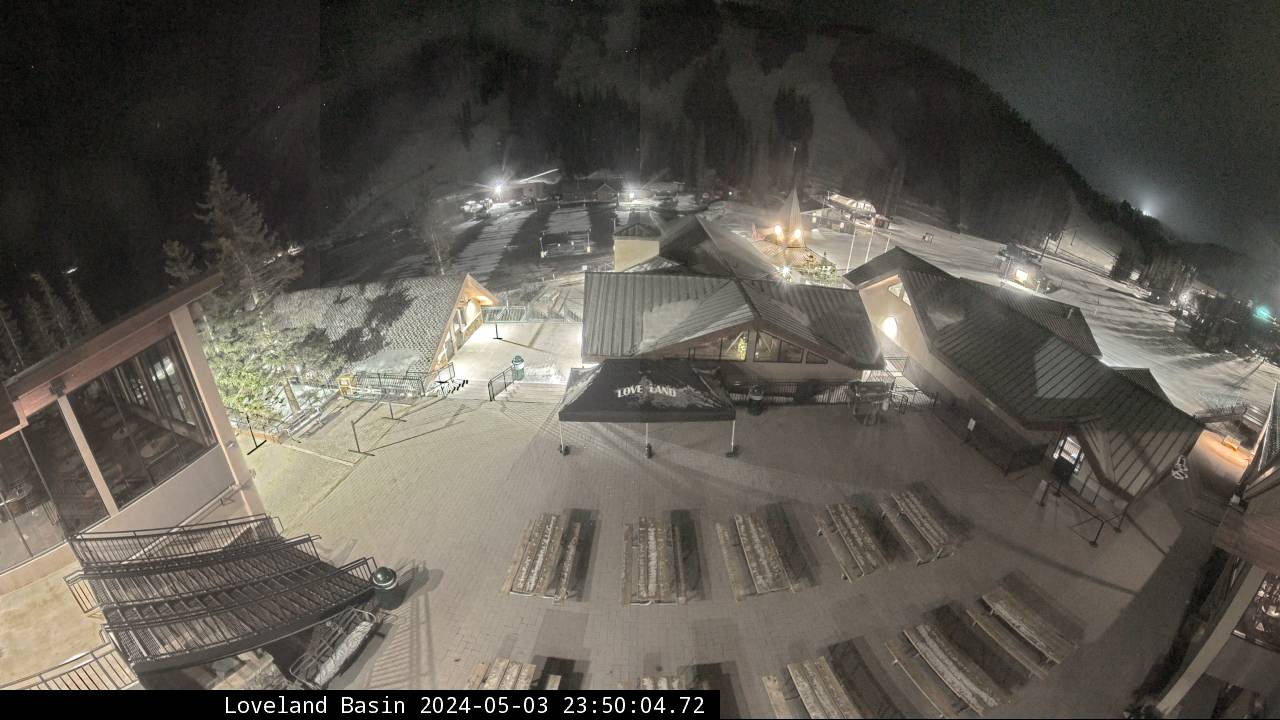
Loveland Basin
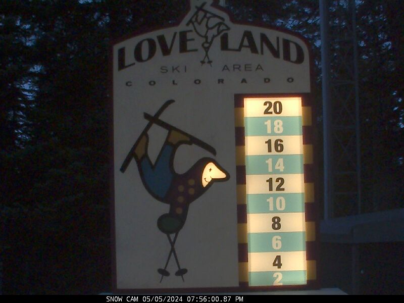
Snow Stake Cam
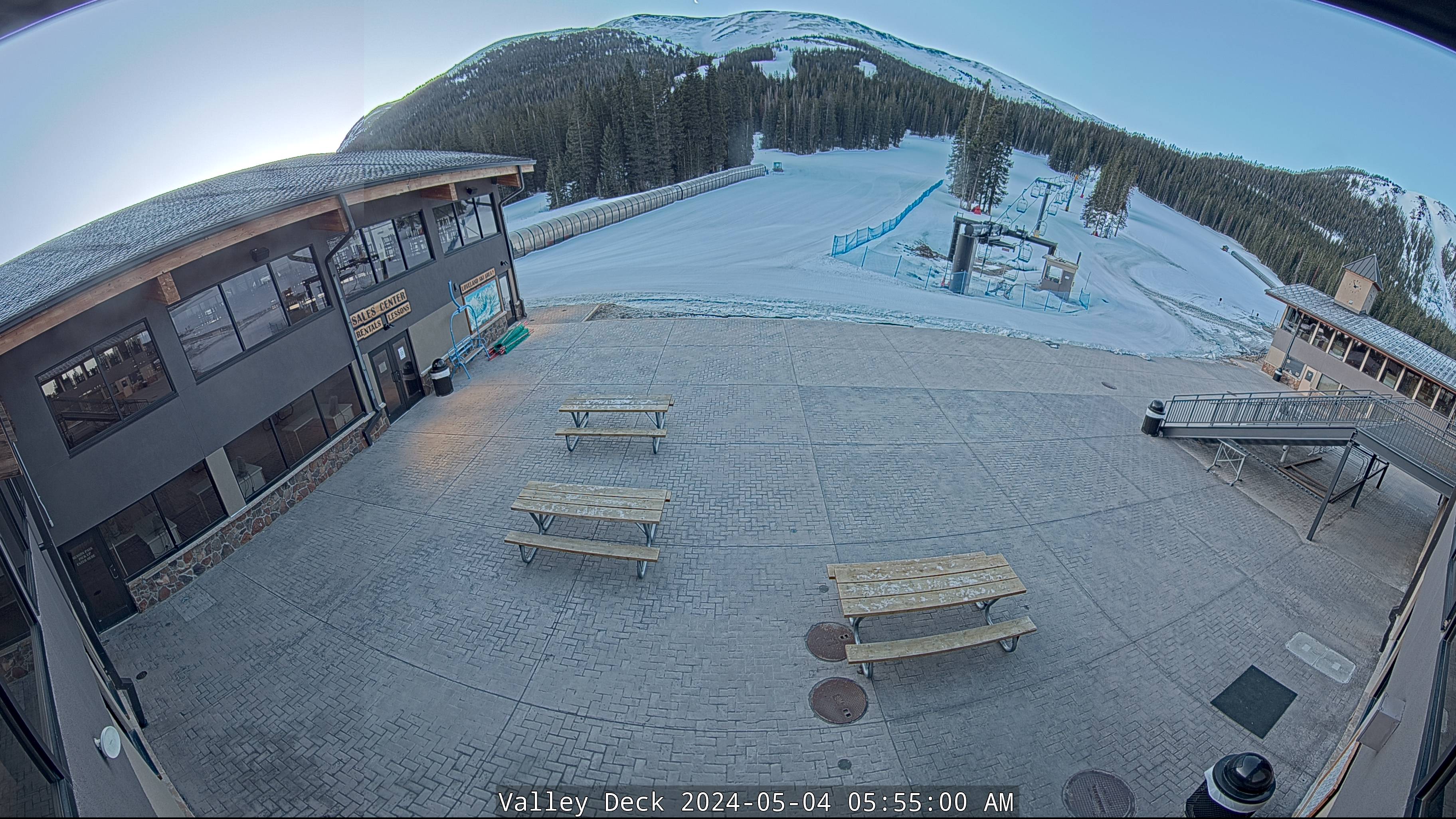
Valley
WEDNESDAY
May 6

37° / 28°

10 - 19
mph
 0
0
THURSDAY
May 7
33° / 22°

30 - 41
mph
2
FRIDAY
May 8

30° / 20°

6 - 14
mph
0
SATURDAY
May 9
34° / 24°
8 - 16
mph
0
SUNDAY
May 10

36° / 27°
4 - 12
mph
0
MONDAY
May 11
39° / 33°
10 - 19
mph
0
TUESDAY
May 12

38° / 29°
11 - 20
mph
0
Mostly clear through the day becoming partly cloudy overnight. Periods of snow are expected in the evening through overnight.
Light snow in the evening through overnight. Snowfall is forecast to be a trace amount in the evening and overnight.
Potential Precip:
0.01 to 0.06
Hi: 37°Low: 28°
8,951 feet to 11632 feet
Winds W at 17 to 28 mph with gusts to 42 in the morning, becoming NW at 10 to 19 mph with gusts to 34 in the afternoon, and then W at 14 to 25 mph with gusts to 49 overnight.
Mostly clear becoming partly cloudy in the late morning continuing through overnight. Periods of snow are expected at any time.
Light snow through the day and into overnight, with periods of moderate through the evening and periods of light overnight. Snowfall is forecast to be a trace amount during the day, and 1 to 2 inches in the evening and overnight.
Potential Precip:
0.05 to 0.25
Hi: 33°Low: 22°
8,026 feet to 10819 feet
Winds W at 27 to 38 mph with gusts to 50 in the morning, becoming W at 30 to 41 mph with gusts to 55 in the afternoon, and then W at 20 to 31 mph with gusts to 52 overnight.
Mostly clear becoming clear in the late morning continuing through overnight.
Scattered snow showers possible.
Potential Precip:
0 to 0.01
Hi: 30°Low: 20°
6,112 feet to 10349 feet
Winds NW at 10 to 18 mph in the morning, becoming W at 6 to 14 mph in the afternoon, and then NW at 9 to 17 mph with gusts to 31 overnight.
Clear through the day becoming mostly clear overnight. Expect windy conditions at times.
No snow.
No precipitation expected.
Hi: 34°Low: 24°
7,310 feet to 10960 feet
Winds NW at 12 to 21 mph with gusts to 30 in the morning, becoming NW at 8 to 16 mph with gusts to 25 in the afternoon through overnight.
Mostly cloudy becoming partly cloudy at times continuing through overnight, with windy conditions at times.
No snow.
No precipitation expected.
Hi: 36°Low: 27°
9,041 feet to 11482 feet
Winds variable at 4 to 12 mph through the day, becoming variable at 10 to 19 mph with gusts to 38 overnight.
Mostly cloudy becoming partly cloudy in the late morning continuing through overnight, with periods of snow developing in the afternoon through overnight.
Periods of light snow throughout the day and overnight. Snowfall is forecast to be a trace amount.
Potential Precip:
0 to 0.01
Hi: 39°Low: 33°
11,090 feet to 11945 feet
Winds variable at 10 to 19 mph with gusts to 26 through the day, becoming W at 12 to 23 mph with gusts to 38 overnight.
Mostly cloudy becoming cloudy at times continuing through overnight, with periods of snow expected in the afternoon.
Periods of light snow throughout the day. Snowfall is forecast to be a trace amount.
Potential Precip:
0 to 0.01
Hi: 38°Low: 29°
9,751 feet to 11846 feet
Winds variable at 11 to 20 mph with gusts to 30 through the day, becoming variable at 3 to 11 mph overnight.
 Sunrise & Sunset

Lunar Calendar


 Snow Maps and Weather Stations in the Area
 ![]() 7in, past 6 days. Snow surface is packed powder and powder
7in, past 6 days. Snow surface is packed powder and powder
Snow report provided by SnoCountry
 Mid-Mountain


