 Mt Waterman Mountain Hig... Mt Baldy Alta Sierra...
 Powder Mountain
  Ogden-Hinckley Airport, UT Updated May 22 @ 10:14

 Northwest
 WebCams

Sundown

Lightning Ridge

PowMow Snow Stake
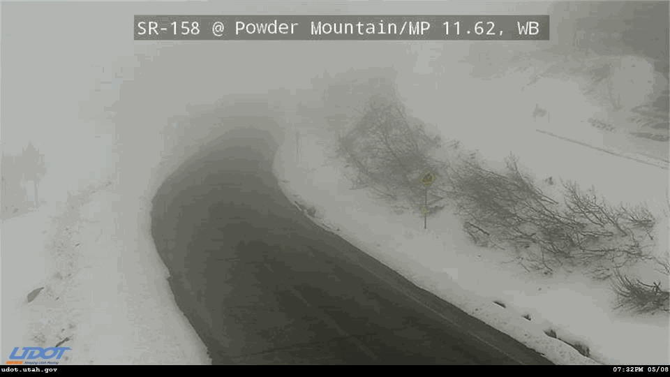
SR 158, Mile 11

Timberline
FRIDAY
May 22

35° / 31°

21 - 32
mph
 5
5
SATURDAY
May 23

34° / 25°
21 - 32
mph
0
SUNDAY
May 24

35° / 28°

8 - 16
mph
0
MONDAY
May 25
38° / 36°

13 - 22
mph
0
TUESDAY
May 26

40° / 34°

11 - 20
mph
0
WEDNESDAY
May 27
37° / 33°
6 - 14
mph
1
THURSDAY
May 28
39° / 35°
6 - 14
mph
0
Cloudy becoming mostly cloudy at times continuing through overnight, with periods of rain and snow expected overnight.
Periods of light snow during the day. Snowfall is forecast to be a trace amount during the day.
Potential Precip:
0.47 to 2.37
Hi: 41°Low: 37°
7,853 feet to 9147 feet
Winds SW at 13 to 22 mph with gusts to 33 in the morning, becoming W at 9 to 17 mph with gusts to 25 in the afternoon, and then W at 13 to 22 mph with gusts to 31 overnight.
Cloudy becoming mostly cloudy at times continuing through overnight, with periods of snow expected at any time.
Heavy snow through the day into the evening, becoming moderate overnight. Snowfall is forecast to be 4 to 7 during the day, and 4 to 7 inches in the evening and overnight.
Potential Precip:
0.47 to 2.37
Hi: 31°Low: 28°
7,853 feet to 9147 feet
Winds W at 42 to 53 mph with gusts to 62 in the morning, becoming W at 33 to 44 mph in the afternoon, and then W at 32 to 43 mph overnight.
Cloudy becoming clear at times continuing through overnight.
Periods of light snow during the day. Snowfall is forecast to be a trace amount during the day.
Potential Precip:
0.01 to 0.06
Hi: 43°Low: 32°
6,517 feet to 8601 feet
Winds NW at 21 to 32 mph in the morning, becoming NW at 9 to 17 mph with gusts to 25 in the afternoon, and then W at 6 to 14 mph overnight.
Cloudy becoming clear at times continuing through overnight. Periods of snow are expected in the morning through afternoon.
Periods of light snow during the day. Snowfall is forecast to be a trace amount during the day.
Potential Precip:
0.01 to 0.06
Hi: 28°Low: 20°
6,517 feet to 8601 feet
Winds W at 29 to 40 mph in the morning, becoming W at 32 to 43 mph in the afternoon, and then W at 21 to 32 mph with gusts to 47 overnight.
Mostly clear through the day and overnight, with windy conditions at times.
No snow.
No precipitation expected.
Hi: 41°Low: 36°
7,244 feet to 8938 feet
Winds W at 7 to 15 mph in the morning, becoming SW at 6 to 14 mph in the afternoon, and then SW at 8 to 16 mph overnight.
Mostly clear through the day and overnight, with windy conditions at times.
No snow.
No precipitation expected.
Hi: 30°Low: 22°
7,244 feet to 8938 feet
Winds W at 13 to 22 mph in the morning, becoming W at 15 to 26 mph in the afternoon, and then W at 19 to 30 mph with gusts to 39 overnight.
Mostly clear becoming partly cloudy in the late morning continuing through overnight. Expect windy conditions at times.
No snow.
No precipitation expected.
Hi: 45°Low: 43°
9,137 feet to 9902 feet
Winds W at 7 to 15 mph through the day, becoming SW at 6 to 14 mph overnight.
Mostly clear becoming partly cloudy in the late morning continuing through overnight. Expect windy conditions at times.
No snow.
No precipitation expected.
Hi: 34°Low: 31°
9,137 feet to 9902 feet
Winds W at 17 to 28 mph in the morning, becoming W at 19 to 30 mph in the afternoon, and then W at 17 to 28 mph overnight.
Partly cloudy becoming cloudy in the afternoon continuing through overnight, with periods of rain developing in the afternoon through overnight.
No snow.
Potential Precip:
0.01 to 0.03
Hi: 46°Low: 43°
8,941 feet to 10133 feet
Winds SW at 6 to 14 mph through the day, becoming SW at 7 to 15 mph overnight.
Partly cloudy becoming cloudy in the afternoon continuing through overnight, with periods of snow developing in the afternoon through overnight.
Periods of light snow throughout the day and overnight. Snowfall is forecast to be a trace amount.
Potential Precip:
0.01 to 0.03
Hi: 35°Low: 31°
8,941 feet to 10133 feet
Winds SW at 13 to 24 mph through the day, becoming W at 17 to 28 mph with gusts to 38 overnight.
Cloudy becoming mostly cloudy at times continuing through overnight, with periods of rain expected at any time.
No snow.
Potential Precip:
0.05 to 0.23
Hi: 44°Low: 39°
8,399 feet to 9447 feet
Winds variable at 7 to 15 mph through the day, becoming variable at 3 to 11 mph overnight.
Cloudy becoming mostly cloudy at times continuing through overnight, with periods of snow expected at any time.
Periods of light snow throughout the day and overnight. Snowfall is forecast to be 1 to 2 inches.
Potential Precip:
0.05 to 0.23
Hi: 32°Low: 29°
8,399 feet to 9447 feet
Winds SW at 10 to 18 mph with gusts to 24 through the day, becoming variable at 7 to 15 mph overnight.
Partly cloudy becoming clear in the evening continuing through overnight, with periods of rain expected in the morning through afternoon.
No snow.
Potential Precip:
0 to 0.02
Hi: 43°Low: 39°
9,246 feet to 10112 feet
Winds E at 6 to 14 mph through the day, becoming variable at 4 to 12 mph overnight.
Partly cloudy becoming clear in the evening continuing through overnight, with periods of snow expected in the morning through afternoon.
Periods of snow throughout the day and overnight.
Potential Precip:
0 to 0.02
Hi: 35°Low: 32°
9,246 feet to 10112 feet
Winds SE at 10 to 19 mph through the day, becoming variable at 3 to 11 mph overnight.
 Sunrise & Sunset

Lunar Calendar


 Snow Maps and Weather Stations in the Area
 ![]() 10in, past 6 days. Snow surface is variable conditions and wet packed
10in, past 6 days. Snow surface is variable conditions and wet packed
Snow report provided by SnoCountry
 Mountain Base


