 Mt Waterman Mountain Hig... Mt Baldy Alta Sierra...
 Fox Peak Ski Field
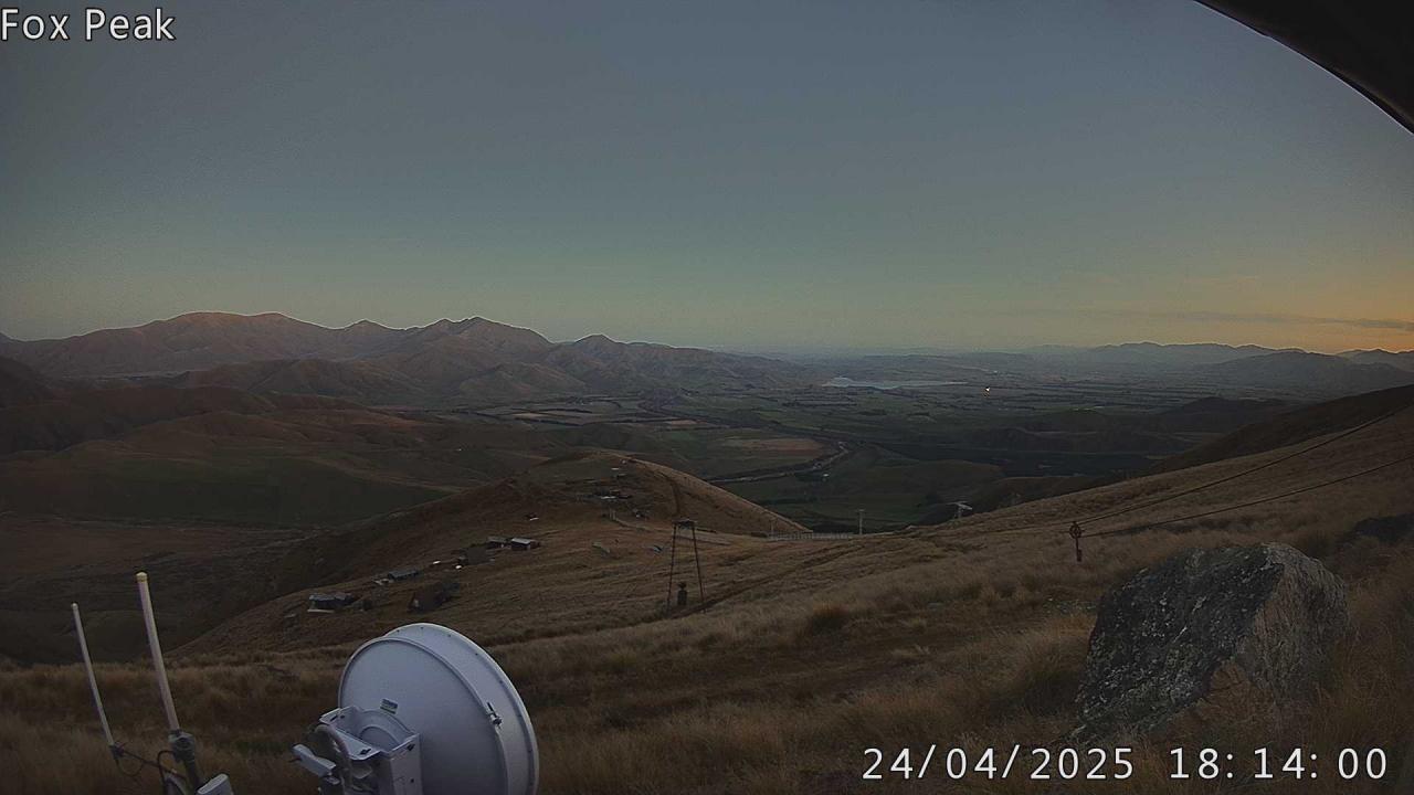
  WebCams
Cam 1
WEDNESDAY
May 13

83° / 54°

0 - 0
mph
 0
0
THURSDAY
May 14

68° / 52°

5 - 13
mph
0
FRIDAY
May 15
55° / 49°
4 - 12
mph
0
SATURDAY
May 16
67° / 49°
5 - 12
mph
0
SUNDAY
May 17

67° / 54°
4 - 11
mph
0
MONDAY
May 18
53° / 45°

3 - 11
mph
0
Clear through the day and overnight, with windy conditions at times.
No snow.
No precipitation expected.
Hi: 62°Low: 50°
12,903 feet to 13483 feet
Winds variable at 6 to 14 mph in the morning, becoming variable at 4 to 12 mph in the afternoon, and then variable at 5 to 13 mph overnight.
Clear through the day and overnight, with windy conditions at times.
No snow.
No precipitation expected.
Hi: 55°Low: 50°
12,903 feet to 13483 feet
Winds S at 6 to 14 mph in the morning, becoming variable at 4 to 12 mph in the afternoon, and then NW at 6 to 14 mph overnight.
Partly cloudy becoming cloudy in the evening continuing through overnight, with periods of rain and snow expected overnight.
Light snow overnight. Snowfall is forecast to be a trace amount overnight.
Potential Precip:
0.14 to 0.72
Hi: 62°Low: 37°
9,461 feet to 13377 feet
Winds NW at 7 to 15 mph through the day, becoming variable at 5 to 13 mph overnight.
Partly cloudy becoming cloudy in the evening continuing through overnight, with periods of rain and snow expected overnight.
Light snow overnight. Snowfall is forecast to be a trace amount overnight.
Potential Precip:
0.14 to 0.72
Hi: 57°Low: 37°
9,461 feet to 13377 feet
Winds NW at 6 to 14 mph in the morning, becoming variable at 4 to 12 mph in the afternoon, and then variable at 7 to 15 mph overnight.
Cloudy becoming partly cloudy at times continuing through overnight, with periods of snow expected at any time.
Light snow through the day and into overnight. Snowfall is forecast to be a trace amount during the day, and a trace amount in the evening and overnight.
Potential Precip:
0.08 to 0.38
Hi: 36°Low: 33°
4,823 feet to 9239 feet
Winds E at 6 to 14 mph in the morning, becoming variable at 5 to 13 mph in the afternoon, and then variable at 3 to 11 mph overnight.
Cloudy becoming partly cloudy at times continuing through overnight, with periods of snow expected at any time.
Light snow through the day and into overnight. Snowfall is forecast to be 1 to 2 during the day, and a trace amount in the evening and overnight.
Potential Precip:
0.08 to 0.38
Hi: 34°Low: 31°
4,823 feet to 9239 feet
Winds SW at 7 to 15 mph in the morning, becoming variable at 4 to 12 mph in the afternoon, and then variable at 4 to 11 mph overnight.
Partly cloudy becoming clear in the late morning and then mostly clear overnight. Expect windy conditions at times.
No snow.
No precipitation expected.
Hi: 46°Low: 37°
9,005 feet to 9362 feet
Winds variable at 5 to 12 mph in the morning, becoming variable at 4 to 11 mph in the afternoon, and then variable at 3 to 11 mph overnight.
Partly cloudy becoming clear in the late morning and then mostly clear overnight. Expect windy conditions at times.
No snow.
No precipitation expected.
Hi: 41°Low: 32°
9,005 feet to 9362 feet
Winds variable at 5 to 12 mph in the morning, becoming variable at 4 to 12 mph in the afternoon, and then variable at 5 to 13 mph overnight.
Mostly cloudy through the day and overnight, with periods of rain and snow expected overnight.
Periods of light snow overnight. Snowfall is forecast to be a trace amount.
Potential Precip:
0.04 to 0.22
Hi: 47°Low: 38°
6,293 feet to 9528 feet
Winds variable at 5 to 13 mph through the day, becoming SW at 8 to 16 mph overnight.
Mostly cloudy through the day and overnight, with periods of snow expected overnight.
Periods of light snow overnight. Snowfall is forecast to be a trace amount.
Potential Precip:
0.04 to 0.22
Hi: 43°Low: 33°
6,293 feet to 9528 feet
Winds variable at 5 to 13 mph through the day, becoming SW at 9 to 17 mph overnight.
Mostly clear becoming mostly cloudy at times continuing through overnight. Periods of snow are expected at any time.
Periods of light snow throughout the day and overnight. Snowfall is forecast to be a trace amount.
Potential Precip:
0.03 to 0.13
Hi: 36°Low: 29°
3,679 feet to 5360 feet
Winds variable at 7 to 15 mph through the day, becoming S at 12 to 21 mph overnight.
Mostly clear becoming mostly cloudy at times continuing through overnight. Periods of snow are expected at any time.
Periods of light snow throughout the day and overnight. Snowfall is forecast to be 1 to 2 inches.
Potential Precip:
0.03 to 0.13
Hi: 31°Low: 22°
3,679 feet to 5360 feet
Winds S at 10 to 18 mph through the day, becoming S at 14 to 25 mph overnight.
Partly cloudy becoming clear at times and then mostly clear overnight. Expect windy conditions at times.
No snow.
No precipitation expected.
Hi: 48°Low: 31°
Winds variable at 5 to 13 mph through the day, becoming variable at 5 to 12 mph overnight.
Partly cloudy becoming clear at times and then mostly clear overnight. Expect windy conditions at times.
No snow.
No precipitation expected.
Hi: 45°Low: 26°
Winds SW at 13 to 22 mph with gusts to 28 through the day, becoming variable at 10 to 18 mph overnight.
 Sunrise & Sunset

Lunar Calendar


 Mountain Base


