 Mt Waterman Mountain Hig... Mt Baldy Alta Sierra...
 Snow Farm
  WebCams
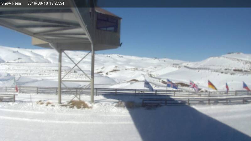
Snow Farm NZ
FRIDAY
Jul 31

57° / 50°

8 - 16
mph
 0
0
SATURDAY
Aug 1

50° / 38°

9 - 17
mph
0
SUNDAY
Aug 2
39° / 31°
4 - 12
mph
0
MONDAY
Aug 3

47° / 38°
4 - 12
mph
0
TUESDAY
Aug 4

43° / 35°
5 - 13
mph
0
WEDNESDAY
Aug 5

35° / 26°
10 - 18
mph
0
THURSDAY
Aug 6
50° / 36°
5 - 12
mph
0
Clear becoming partly cloudy in the evening continuing through overnight, with windy conditions at times.
No snow.
No precipitation expected.
Hi: 57°Low: 50°
12,739 feet to 13480 feet
Winds NW at 8 to 16 mph through the day, becoming NW at 11 to 20 mph overnight.
Mostly cloudy through the day becoming cloudy overnight. Periods of rain and snow are expected overnight.
Light snow overnight. Snowfall is forecast to be a trace amount overnight.
Potential Precip:
0.24 to 1.22
Hi: 50°Low: 38°
8,315 feet to 12657 feet
Winds NW at 11 to 20 mph in the morning, becoming NW at 9 to 17 mph in the afternoon, and then W at 6 to 14 mph with gusts to 30 overnight.
Mostly cloudy through the day becoming partly cloudy overnight. Periods of snow are expected in the morning through evening.
Light snow through the day and into the evening. Snowfall is forecast to be a trace amount during the day, and a trace amount in the evening.
Potential Precip:
0.01 to 0.04
Hi: 39°Low: 31°
4,633 feet to 8032 feet
Winds variable at 5 to 13 mph in the morning, becoming variable at 4 to 12 mph in the afternoon, and then variable at 5 to 12 mph overnight.
Clear becoming mostly clear at times and then partly cloudy overnight. Periods of rain are expected overnight.
No snow.
Potential Precip:
0 to 0.01
Hi: 47°Low: 38°
8,209 feet to 8998 feet
Winds variable at 4 to 11 mph in the morning, becoming variable at 4 to 12 mph in the afternoon, and then variable at 3 to 11 mph overnight.
Partly cloudy becoming clear at times continuing through overnight, with periods of rain expected in the morning.
No snow.
Potential Precip:
0.01 to 0.04
Hi: 43°Low: 35°
5,572 feet to 8069 feet
Winds variable at 5 to 13 mph through the day, becoming W at 10 to 19 mph overnight.
Partly cloudy becoming mostly clear at times continuing through overnight, with periods of snow expected in the morning through evening.
Periods of light snow throughout the day. Snowfall is forecast to be a trace amount.
Potential Precip:
0.01 to 0.06
Hi: 35°Low: 26°
3,690 feet to 6895 feet
Winds S at 10 to 18 mph through the day, becoming SE at 7 to 15 mph overnight.
Clear becoming mostly cloudy at times continuing through overnight, with windy conditions at times.
No snow.
No precipitation expected.
Hi: 50°Low: 36°
8,457 feet to 11381 feet
Winds variable at 5 to 12 mph through the day, becoming variable at 4 to 11 mph overnight.
 Sunrise & Sunset

Lunar Calendar


 Mid-Mountain


