 Bleymard Mon...
  Pralognan La...
  Mijoux/La Fa... Mt Waterman
 Sainte-Foy-Tarentaise
  WebCams
Plan Bios

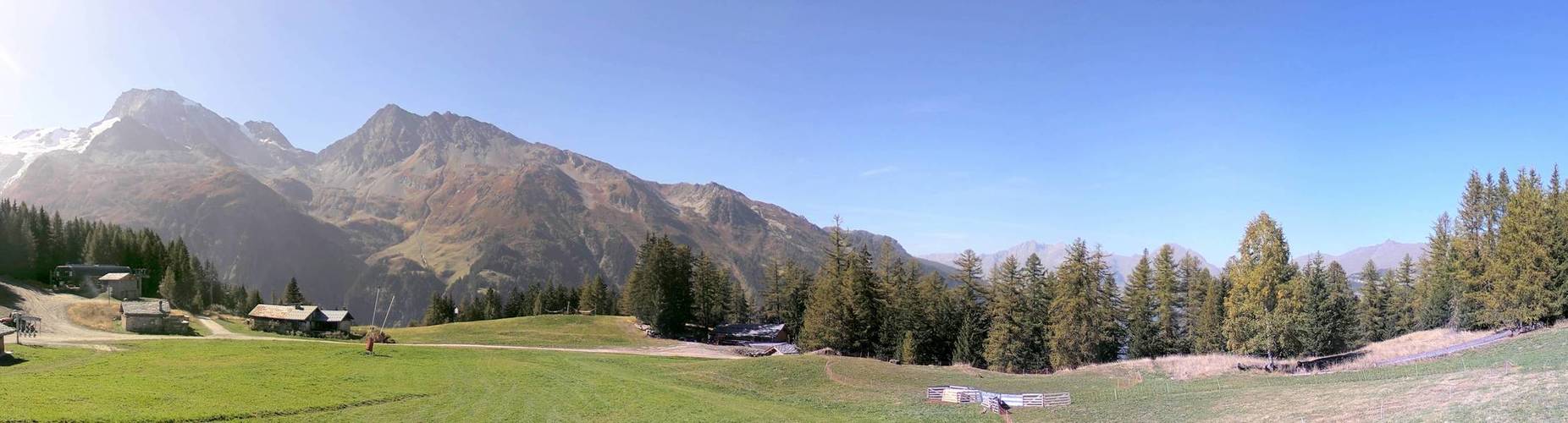
Front de neige
THURSDAY
Jul 16
48° / 37°

4 - 11
mph
 0
0
FRIDAY
Jul 17

47° / 41°

0 - 0
mph
0
SATURDAY
Jul 18
47° / 39°
0 - 0
mph
0
SUNDAY
Jul 19
45° / 36°
5 - 12
mph
0
MONDAY
Jul 20

42° / 37°
5 - 12
mph
0
TUESDAY
Jul 21

41° / 34°
4 - 11
mph
0
WEDNESDAY
Jul 22
41° / 35°
5 - 13
mph
0
Clear becoming mostly clear in the afternoon continuing through overnight, with windy conditions at times.
No snow.
No precipitation expected.
Hi: 48°Low: 37°
6,320 feet to 10445 feet
Winds variable at 4 to 11 mph through the day, becoming variable at 4 to 12 mph overnight.
Mostly clear through the day becoming partly cloudy overnight. Periods of rain are expected in the afternoon.
No snow.
Potential Precip:
0 to 0.01
Hi: 47°Low: 41°
8,260 feet to 11464 feet
Winds variable at 5 to 13 mph in the morning, becoming calm in the afternoon, and then variable at 5 to 12 mph overnight.
Mostly clear becoming clear in the afternoon continuing through overnight.
No snow.
Potential Precip:
0 to 0.01
Hi: 47°Low: 39°
8,127 feet to 10088 feet
Winds variable at 4 to 12 mph in the morning, becoming calm in the afternoon, and then variable at 4 to 12 mph overnight.
Mostly clear becoming partly cloudy at times continuing through overnight.
No snow.
Potential Precip:
0 to 0.01
Hi: 45°Low: 36°
6,170 feet to 9259 feet
Winds SE at 6 to 14 mph in the morning, becoming variable at 5 to 12 mph in the afternoon, and then variable at 4 to 12 mph overnight.
Mostly cloudy becoming partly cloudy overnight continuing through overnight, with periods of snow expected in the morning through evening.
Periods of light snow throughout the day. Snowfall is forecast to be a trace amount.
Potential Precip:
0 to 0.02
Hi: 42°Low: 37°
6,284 feet to 7825 feet
Winds variable at 5 to 12 mph through the day, becoming variable at 3 to 10 mph overnight.
Mostly clear becoming partly cloudy in the afternoon and then mostly cloudy overnight. Periods of rain and snow are expected overnight.
Periods of light snow throughout the day. Snowfall is forecast to be a trace amount.
Potential Precip:
0 to 0.02
Hi: 41°Low: 34°
5,532 feet to 7623 feet
Winds variable at 4 to 11 mph through the day, becoming variable at 4 to 12 mph overnight.
Cloudy becoming partly cloudy in the late morning and then mostly cloudy overnight. Periods of rain and snow are expected overnight.
Periods of light snow throughout the day and overnight. Snowfall is forecast to be a trace amount.
Potential Precip:
0.02 to 0.12
Hi: 41°Low: 35°
5,875 feet to 7432 feet
Winds variable at 5 to 13 mph through the day, becoming variable at 4 to 11 mph overnight.
 Sunrise & Sunset

Lunar Calendar


 Mid-Mountain


